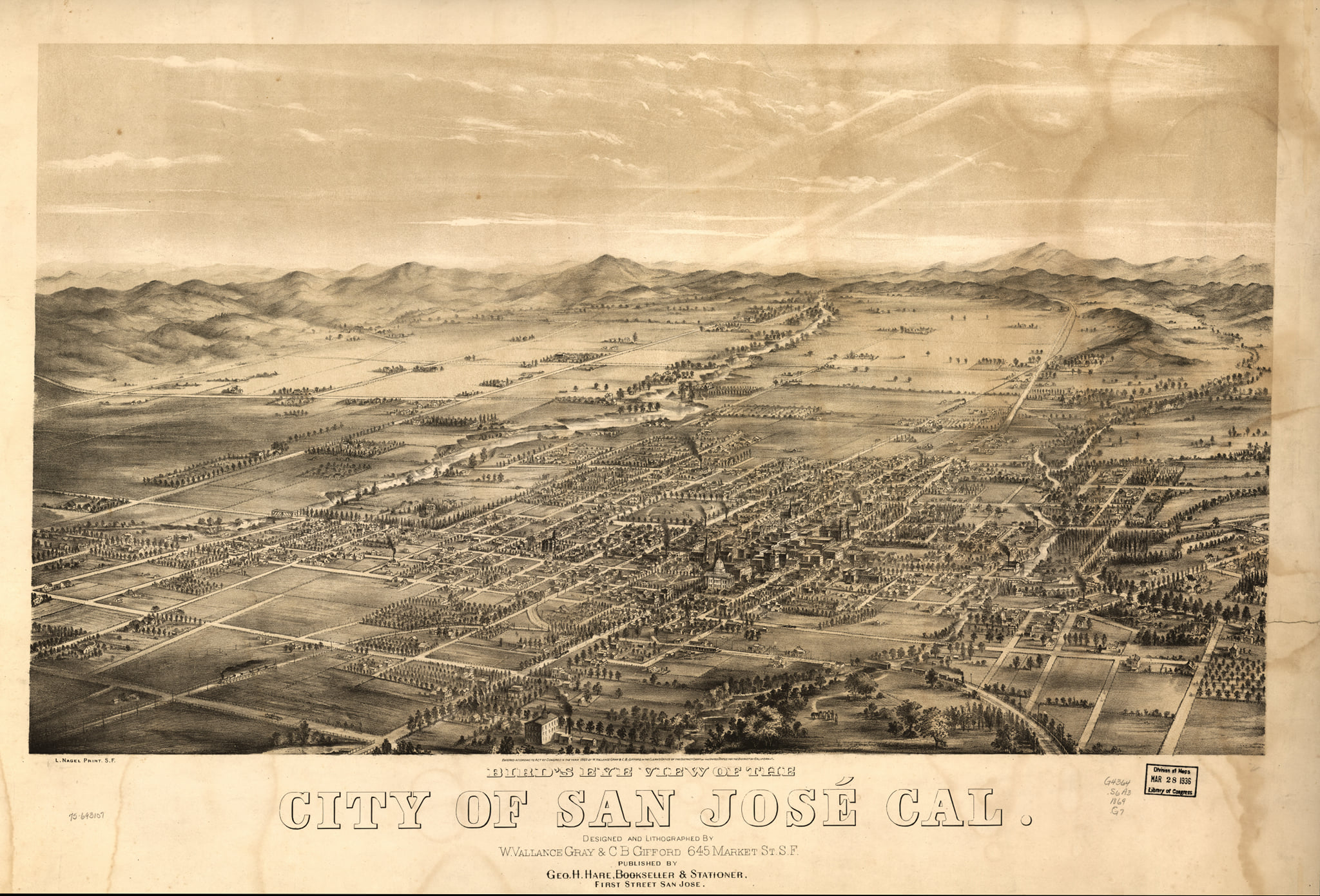
I found this beautiful lithograph of a birds-eye view of downtown San Jose from 1869.
The map was designed by Gray (W. Vallance) & C.B. Gifford.
I enjoyed zooming and looking at the fine detail of the map. I was able to locate 3 historic buildings that still exist today.
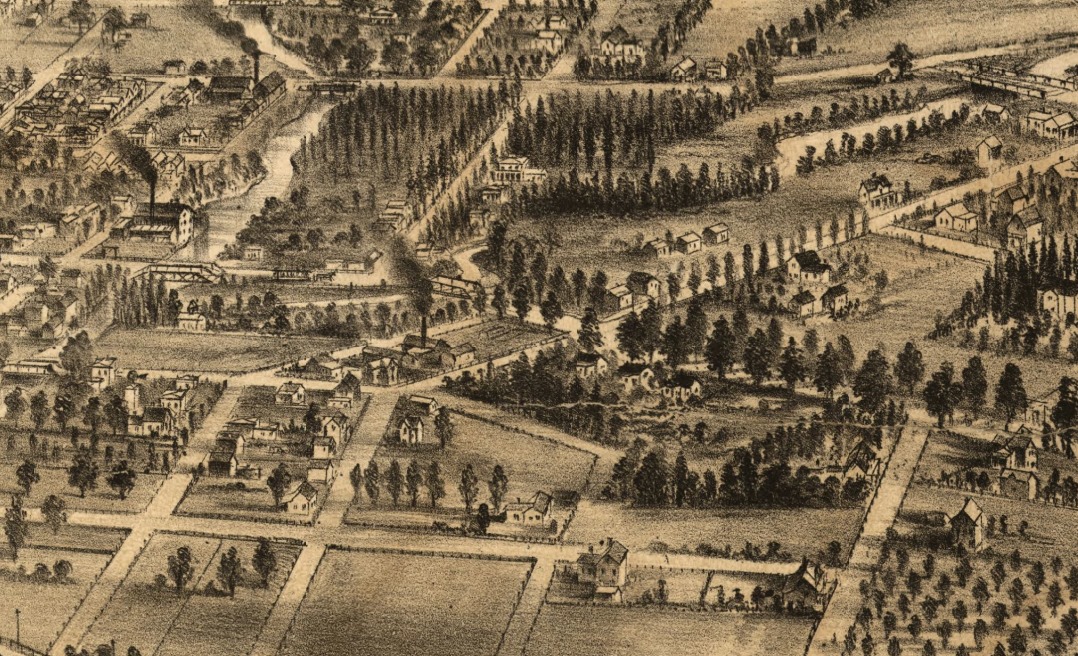
The Historic Route of The Alameda beginning at The Guadalupe River.
Trinity Church(N. Second Street)
Santa Clara County Courthouse(N. First Street, minus the dome)
Cathedral Basilica of St. Joseph(Market Street)
If you look at the bottom right-hand corner of the map you can see where The Alameda begins at the Guadalupe River.
Gray & C.B. Gifford, Nagel, L. & Hare, G. H. (1869) Bird's eye view of the city of San José, Cal. San Jose, Geo. H. Hare. [Map] Retrieved from the Library of Congress,
Originally shared on Explore San Jose · November 12, 2020