Angel Island: Light, History, and an Unexpected Walk
A ferry ride across San Francisco Bay became a day of changing light, historic buildings, and an unexpected walk through the island’s many layers of history. Long before its military posts and Immigration Station, Angel Island was part of the homeland of the Huimen people of the Coast Miwok. These photographs follow the places that caught my attention along the way.
Crossing the Bay to Ayala Cove
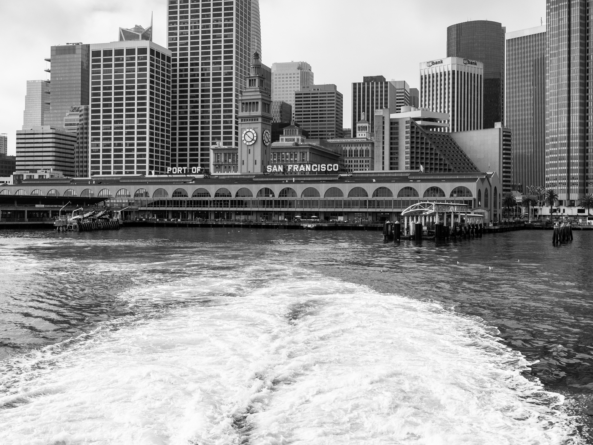
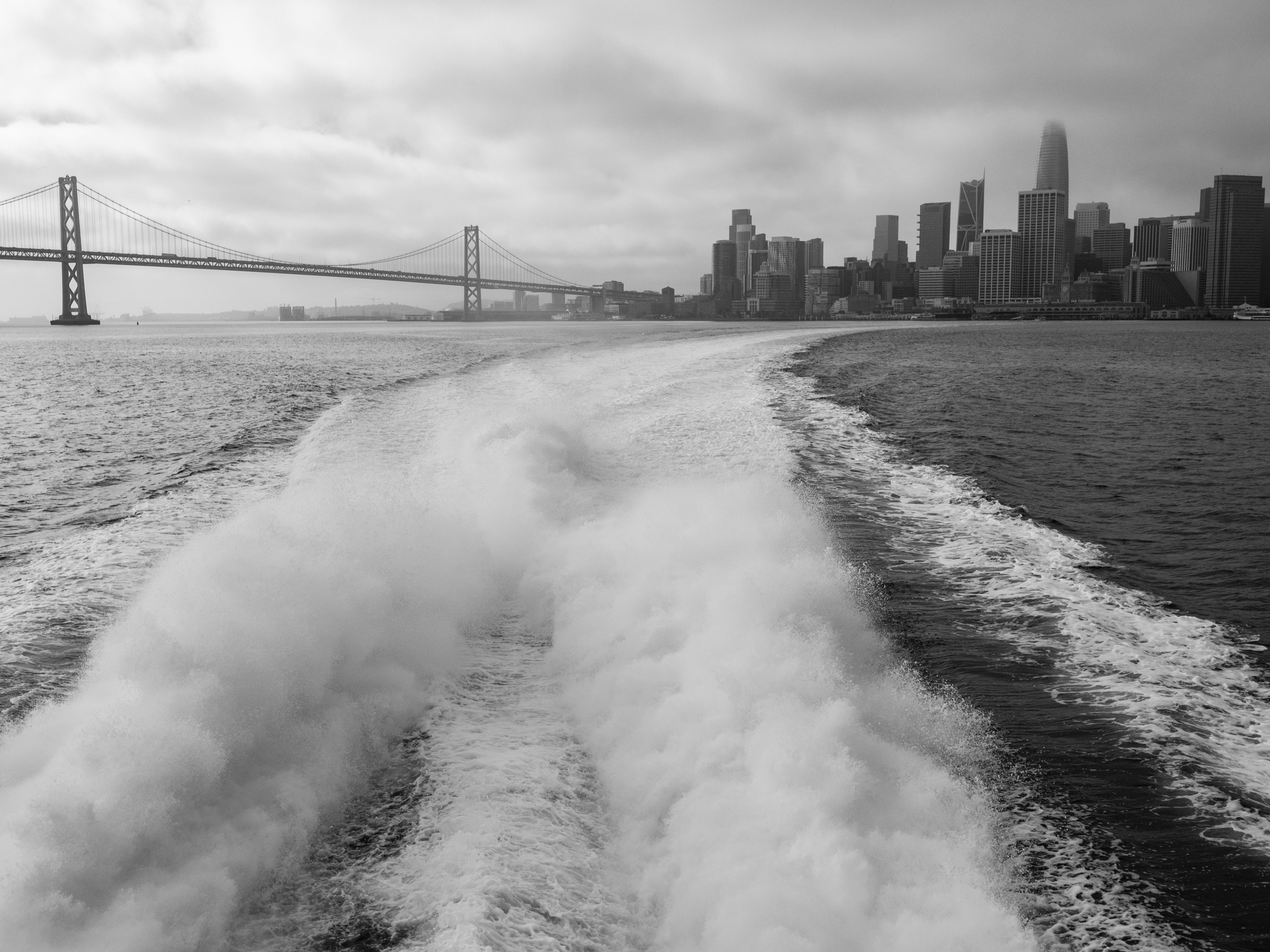
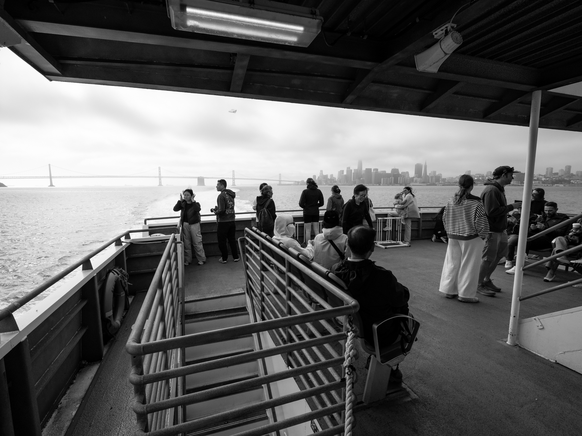
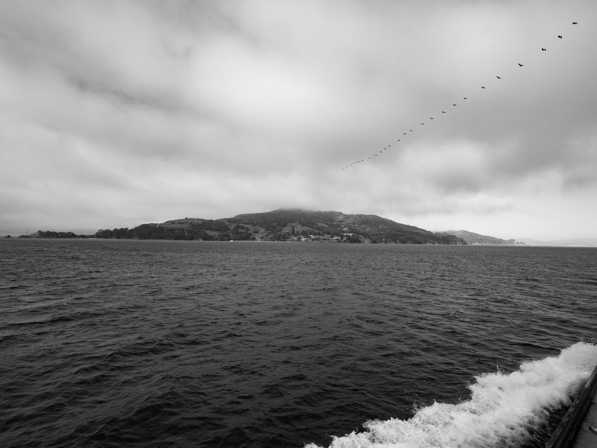
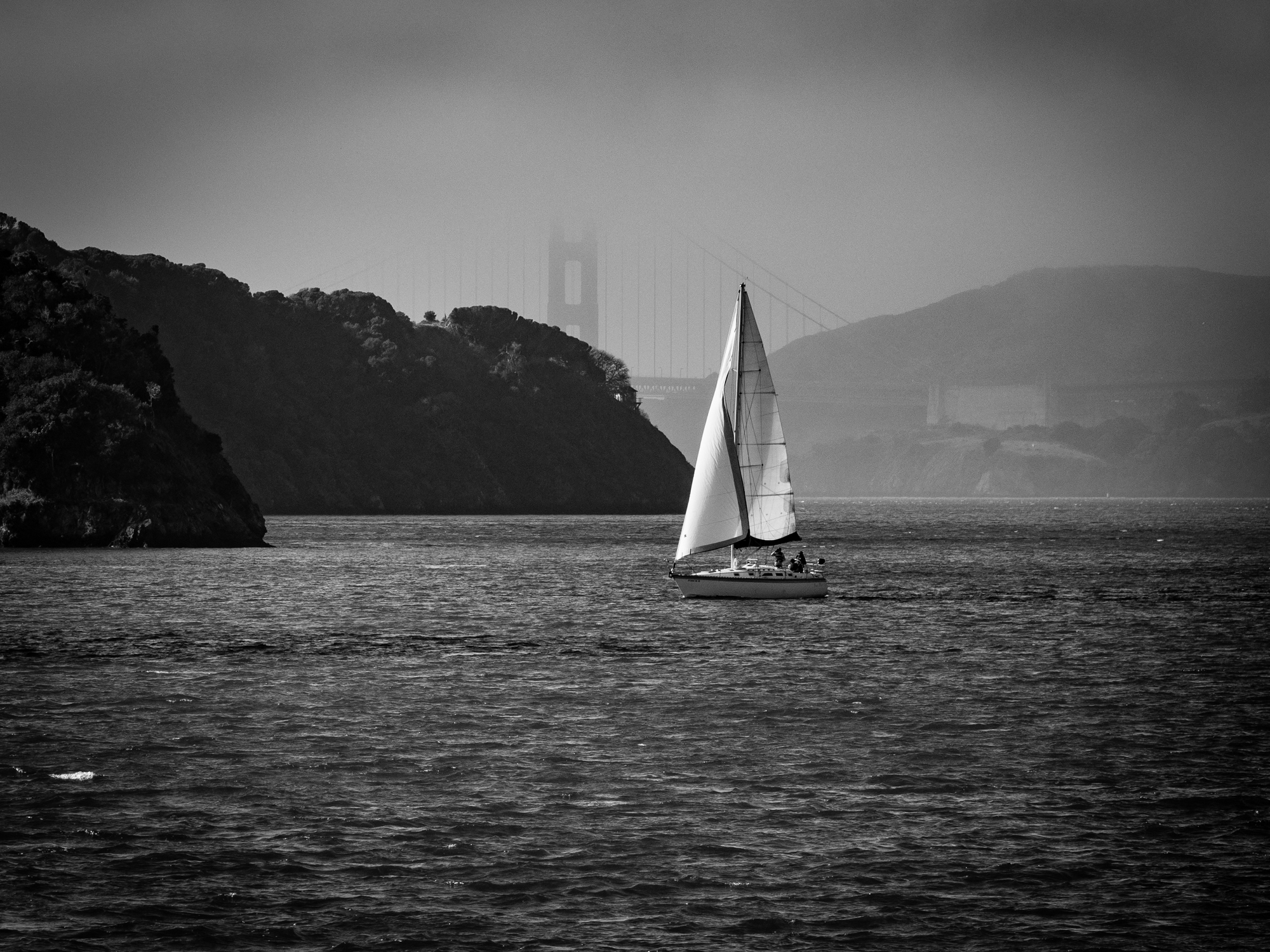
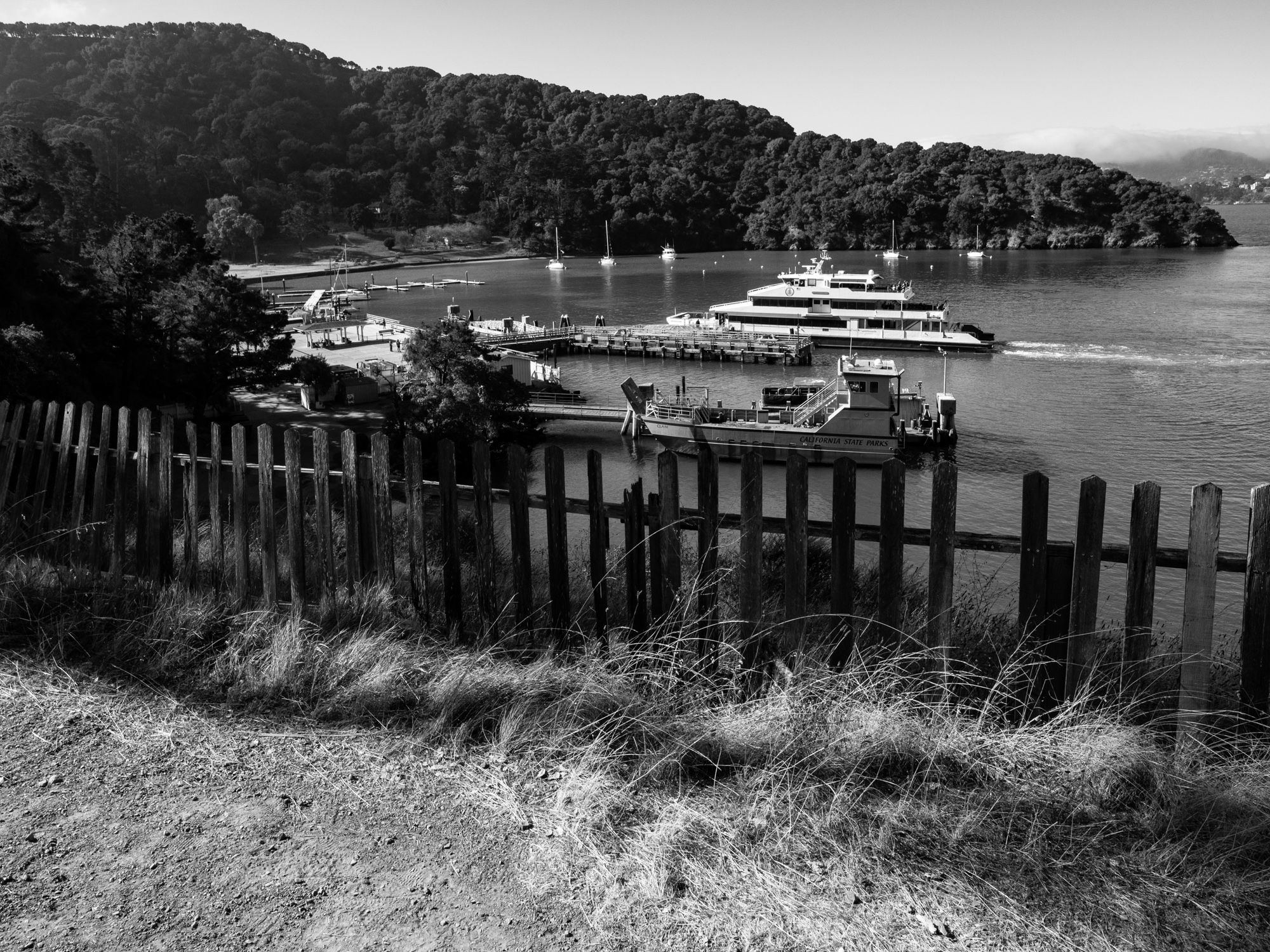
The day began on the San Francisco waterfront, with a walk from the Delancey Street area beneath the Bay Bridge toward the Ferry Building. The ferry ride was part of the experience: familiar shorelines looked different from the water, and the changing fog and light kept giving me something else to photograph. Arriving at Ayala Cove felt like stepping into another pace, with the city still close enough to see across the bay.
The Immigration Station
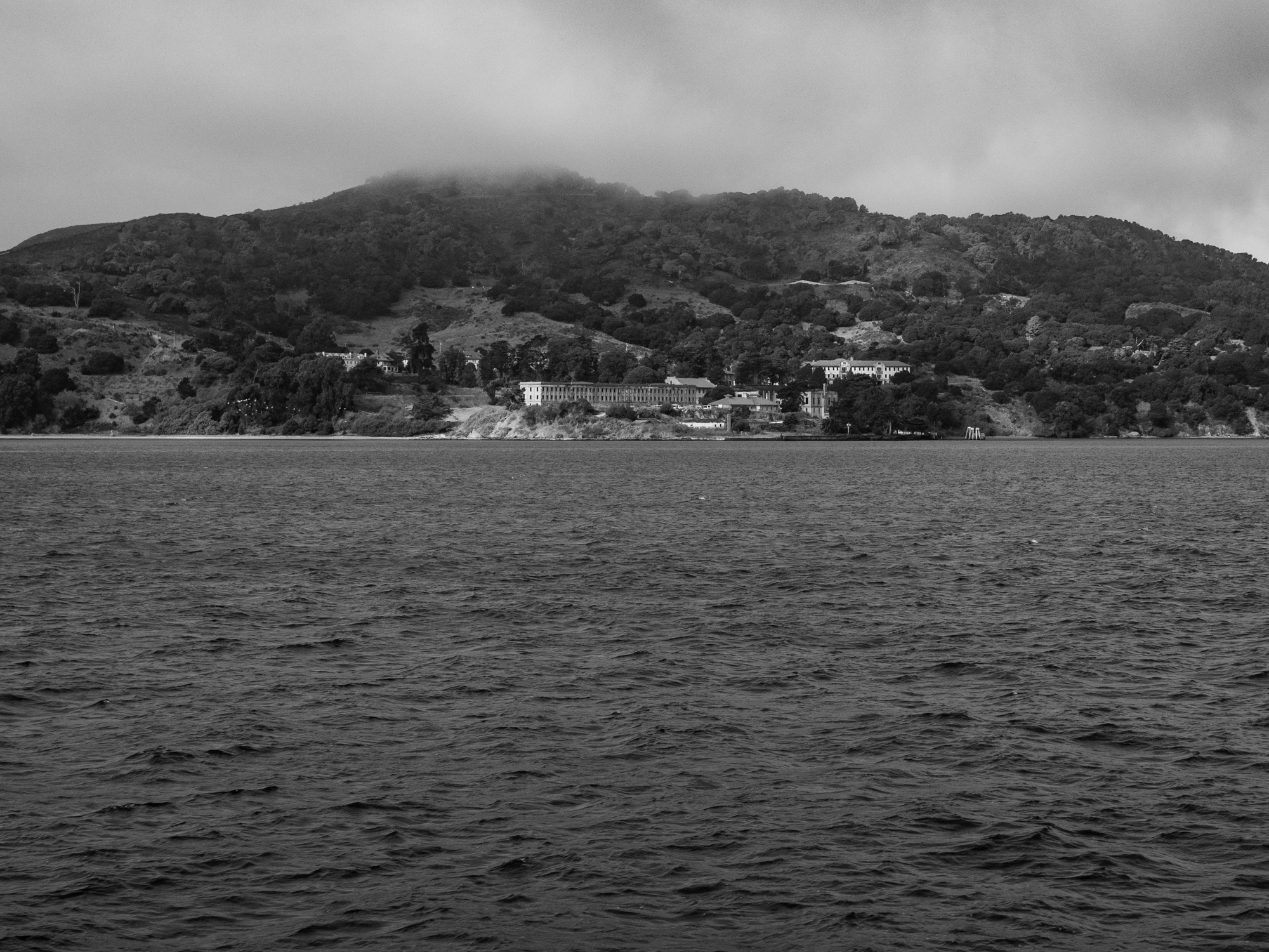
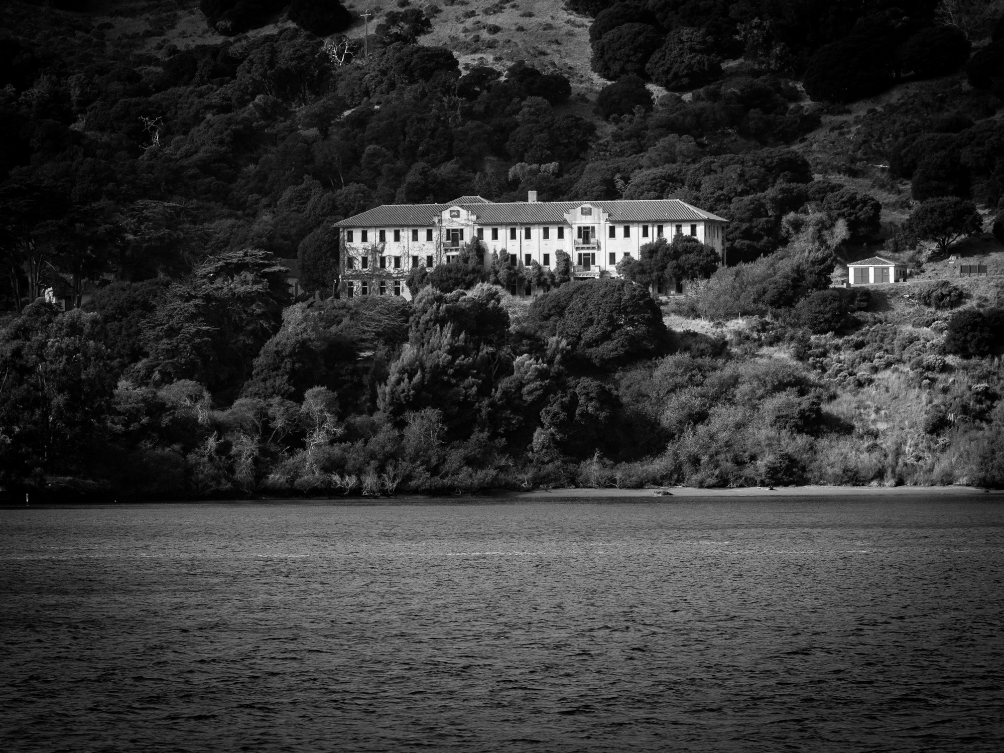
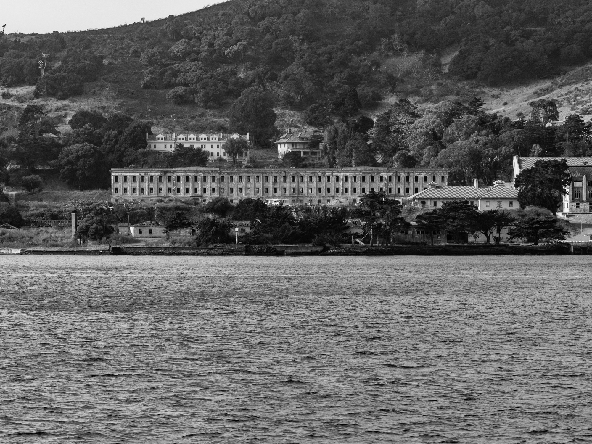
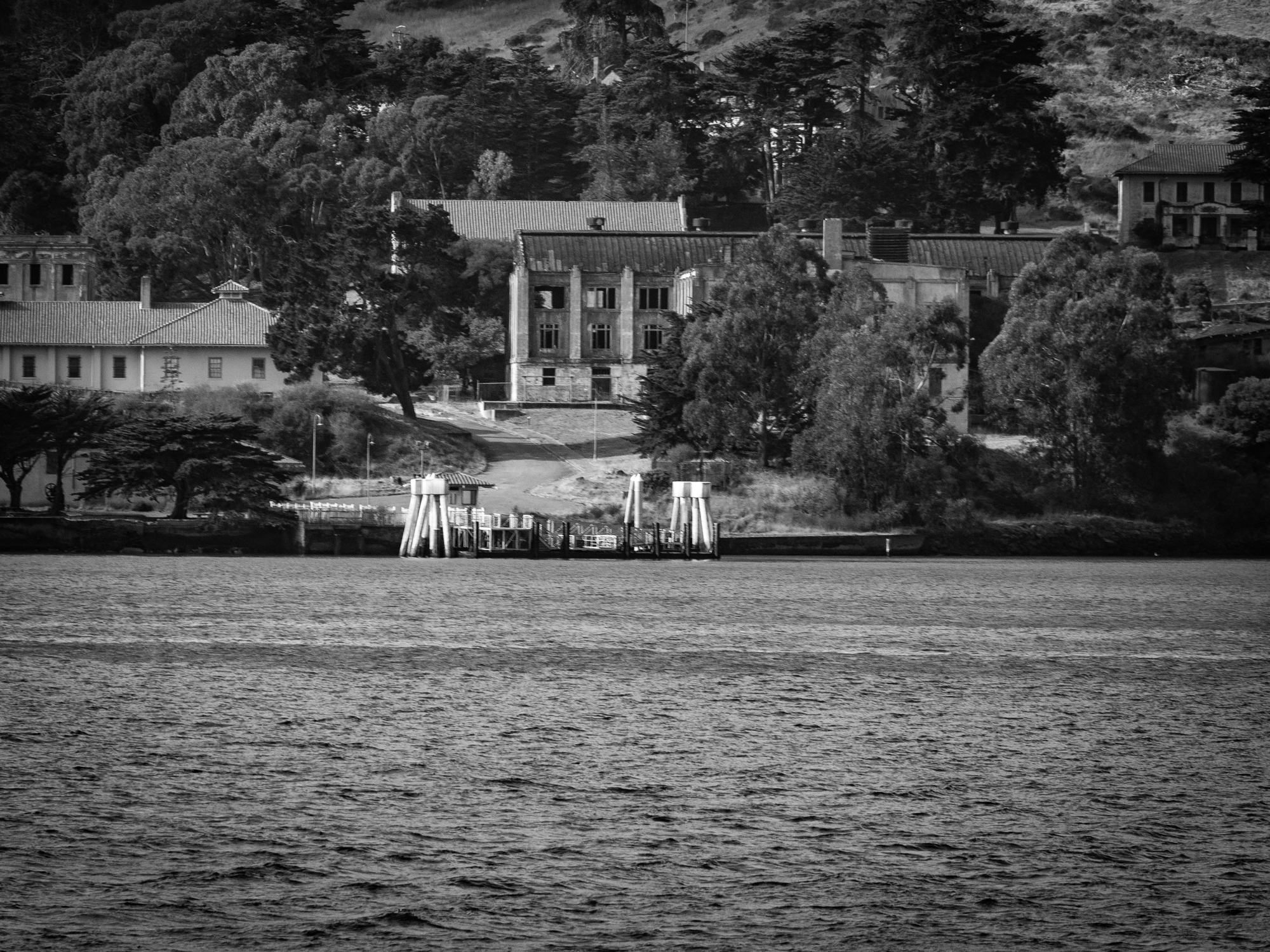
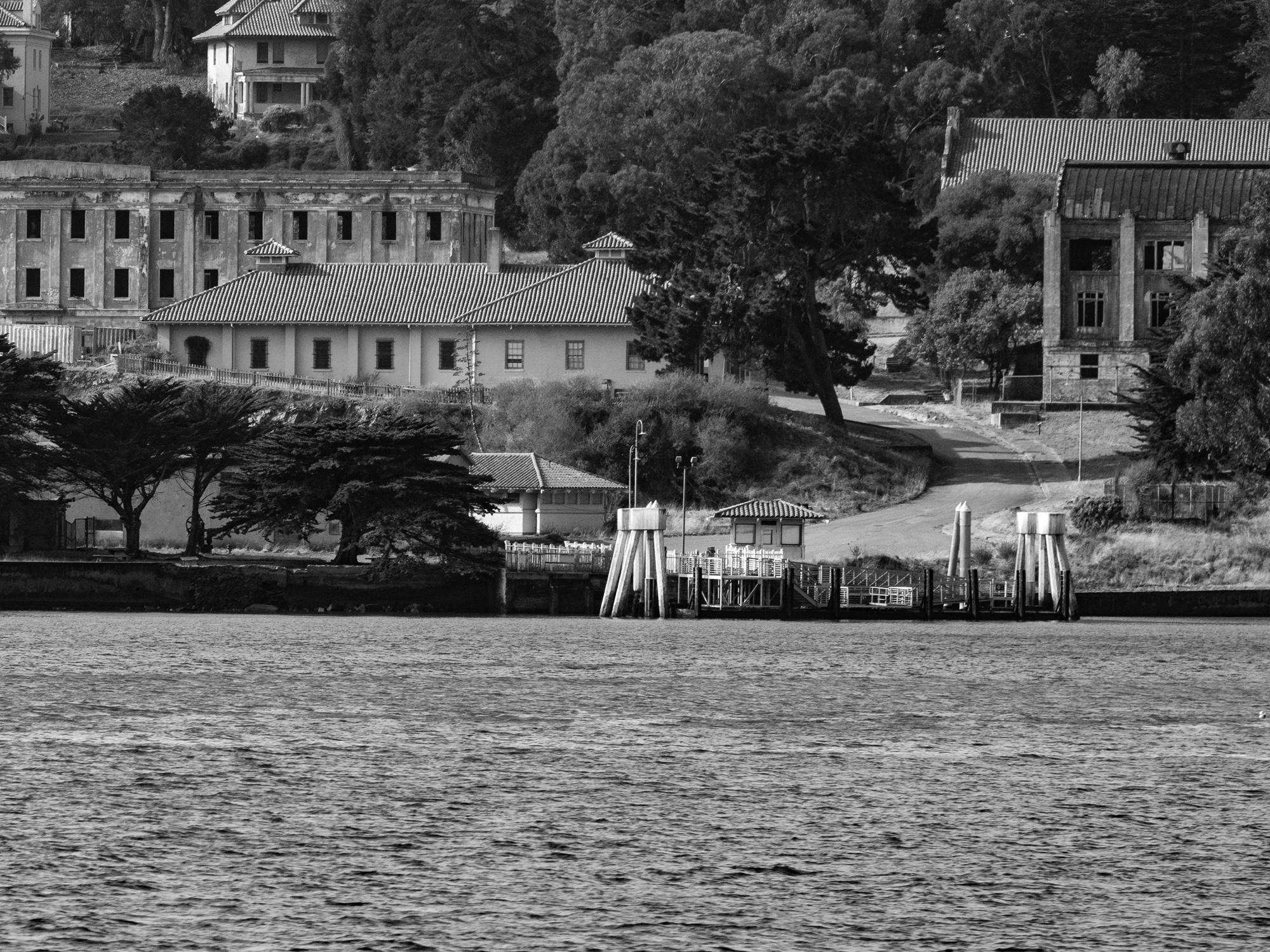
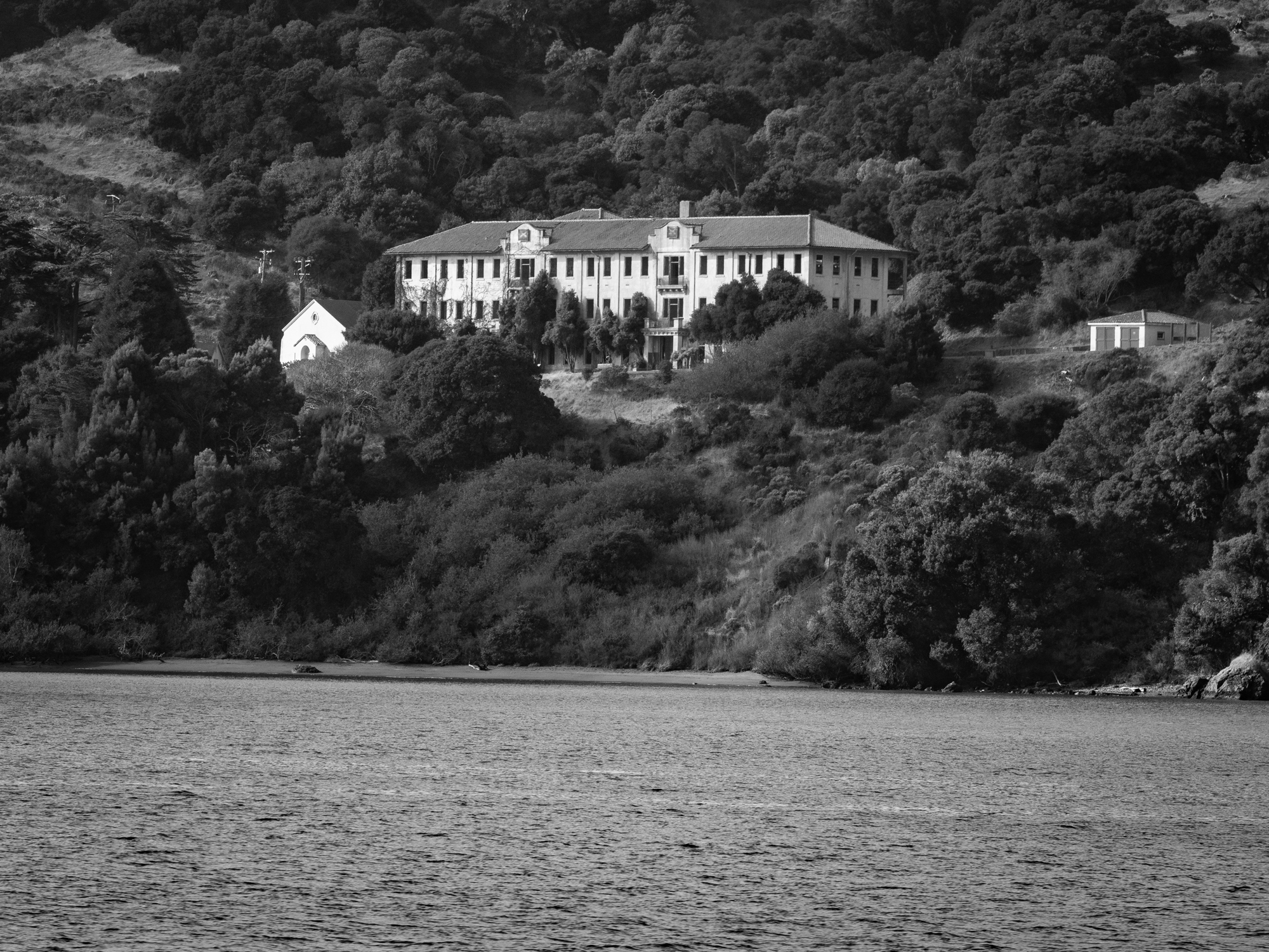
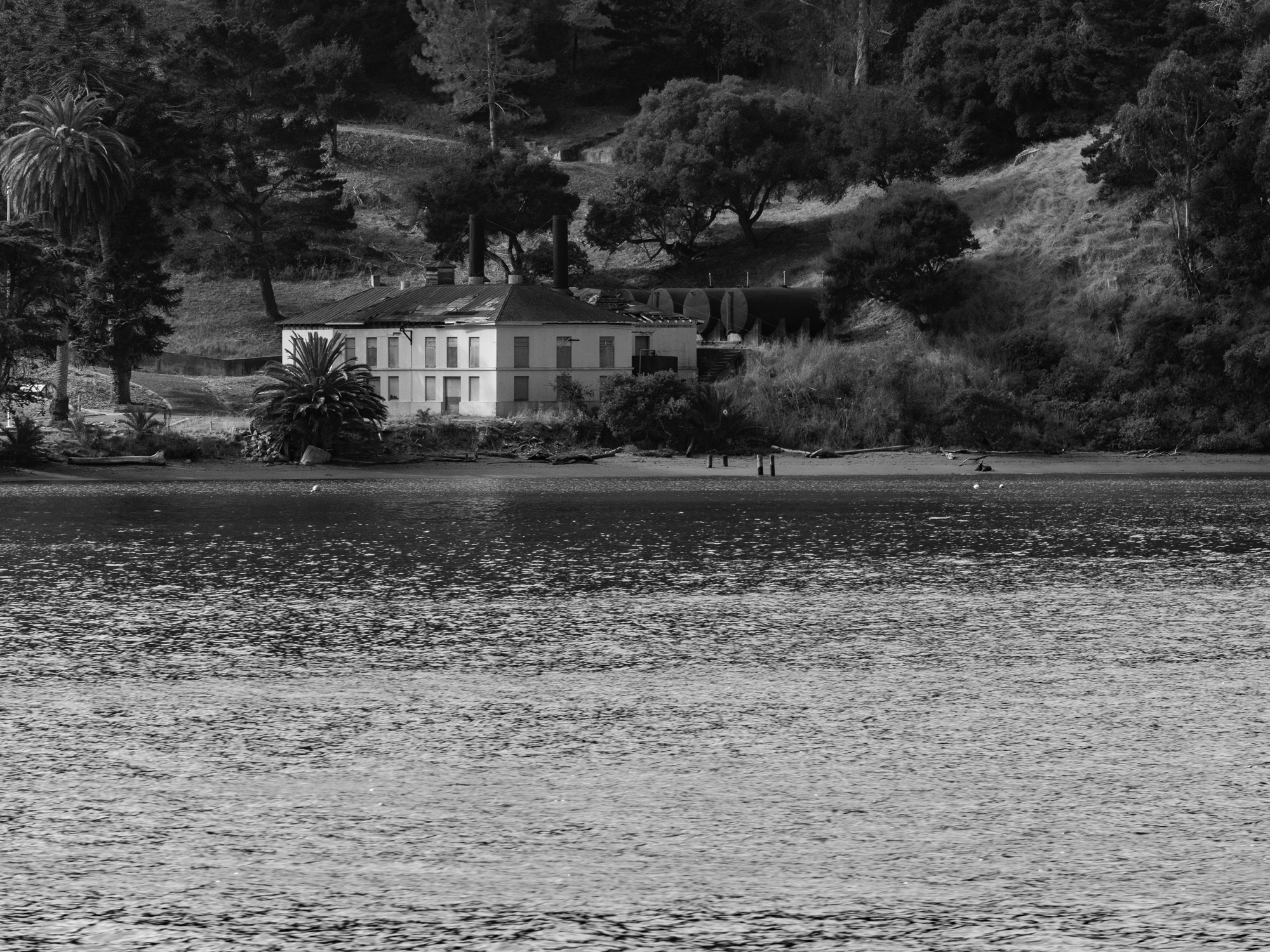
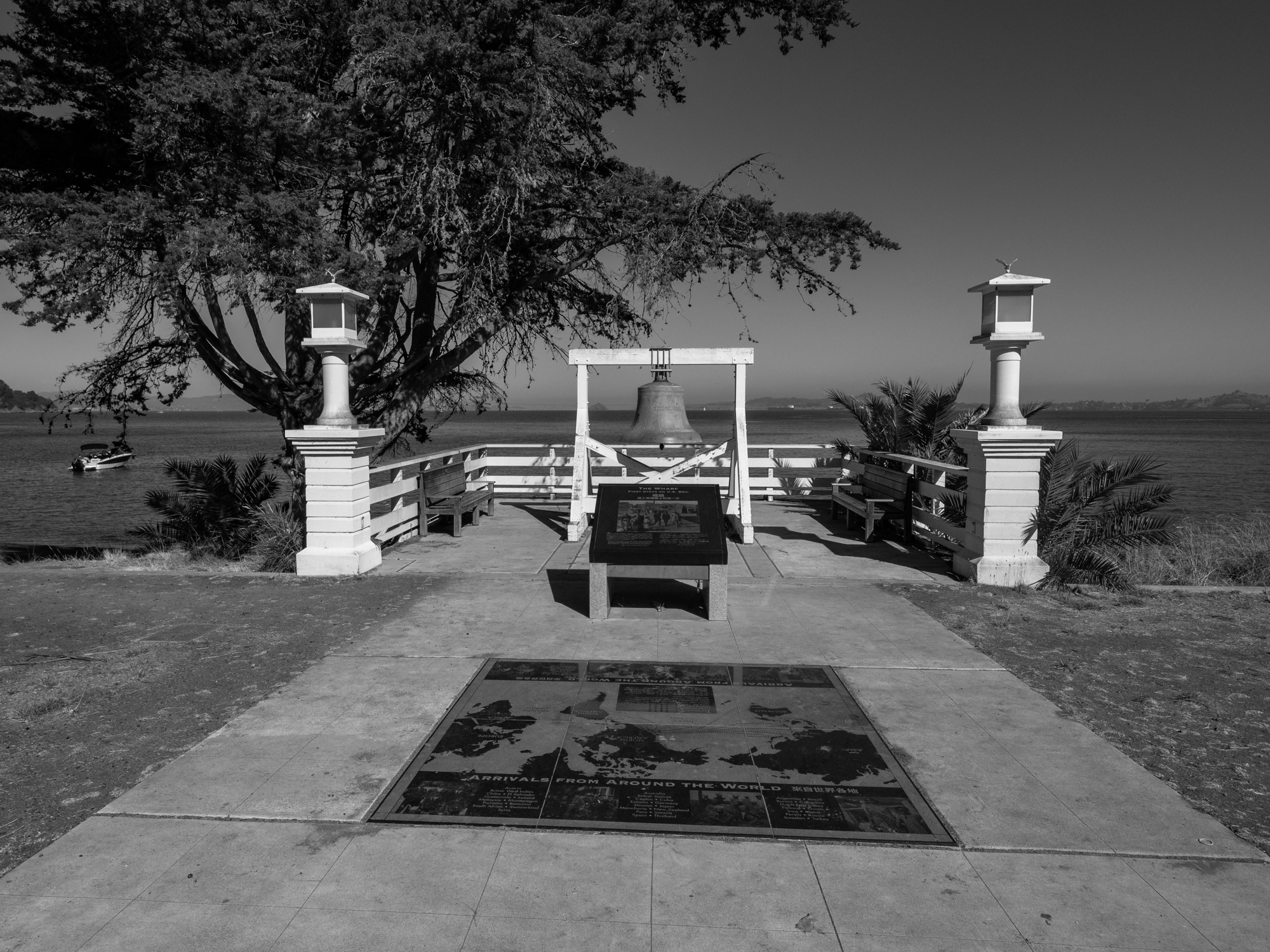
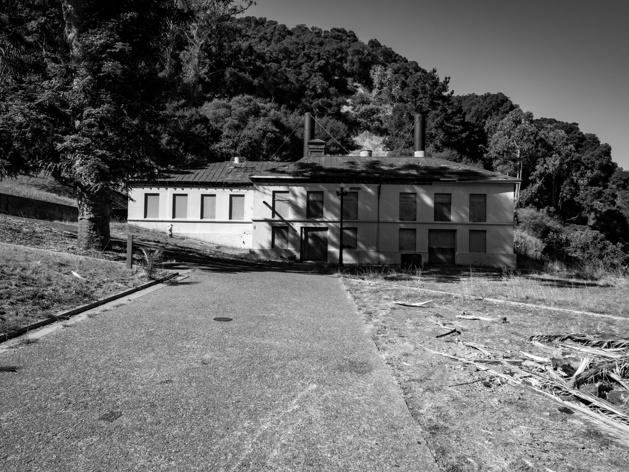
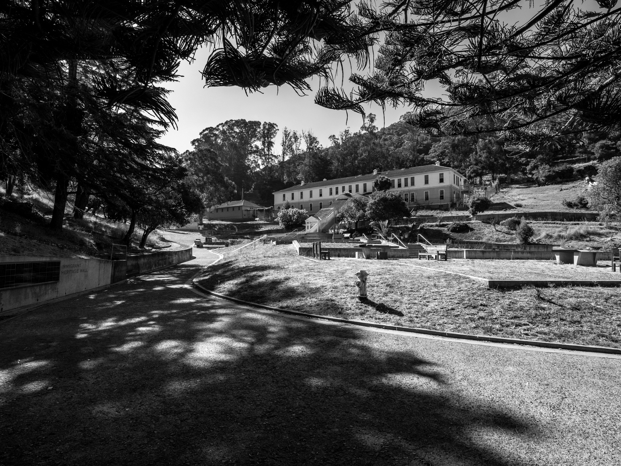
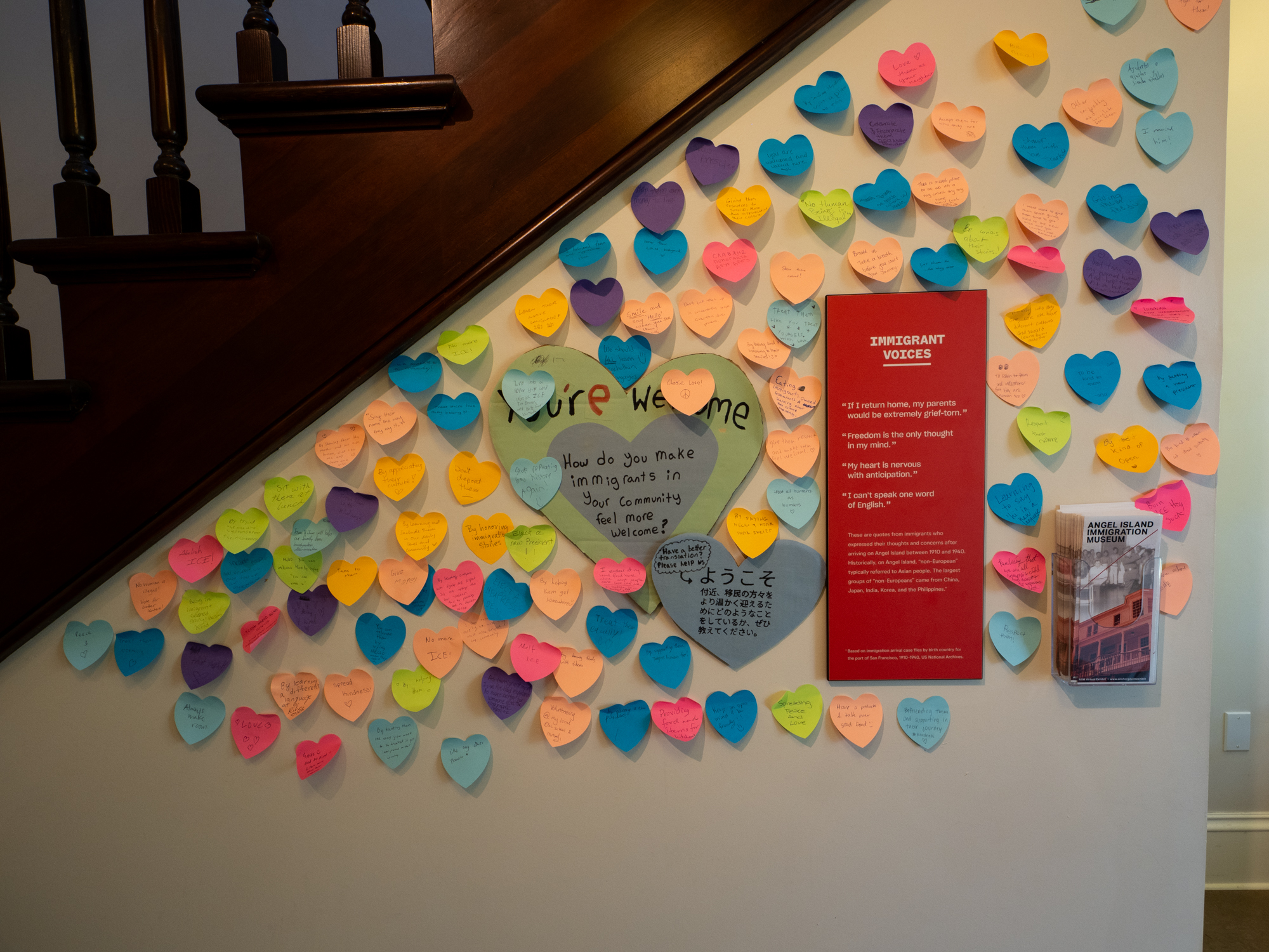
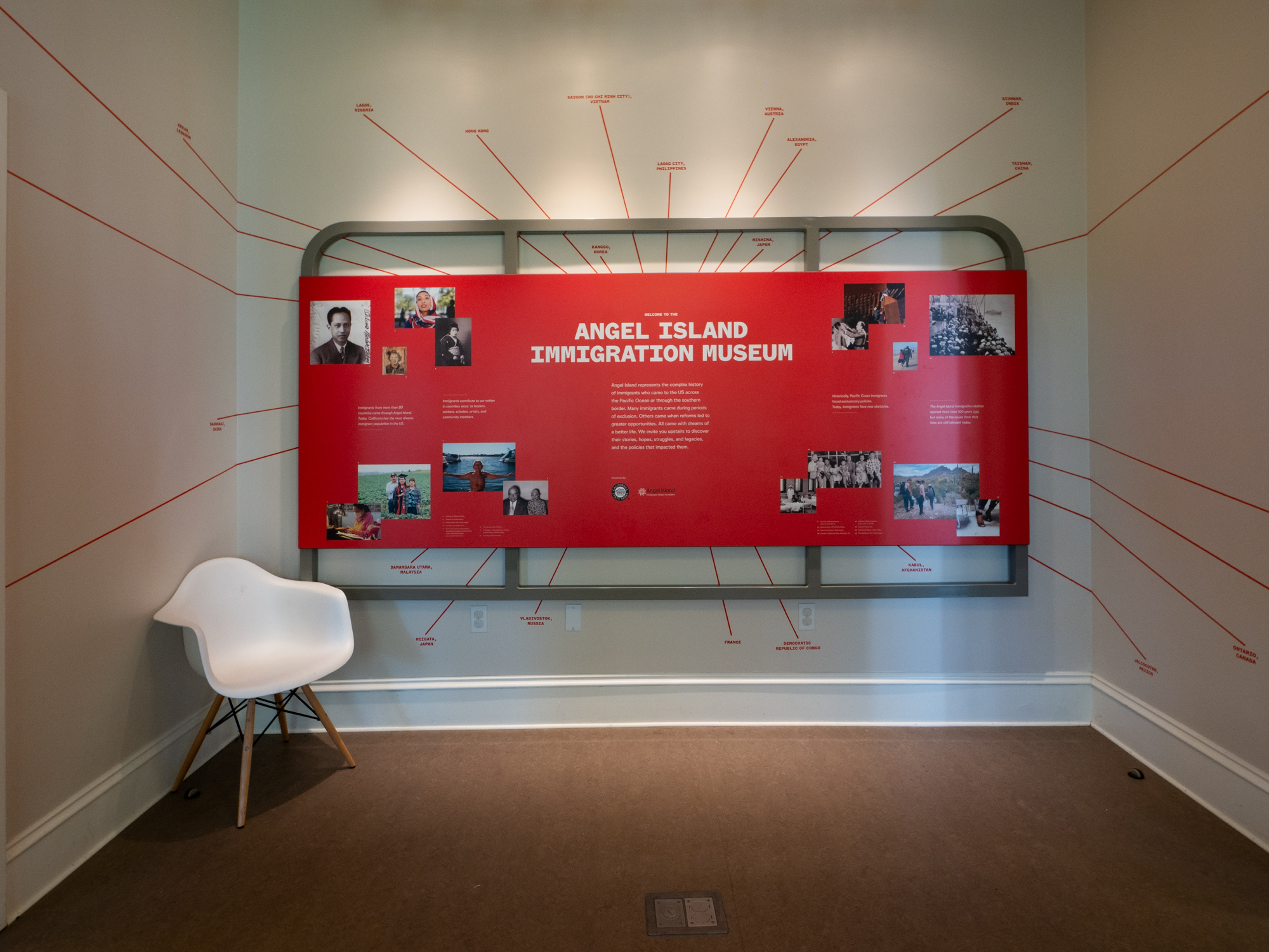
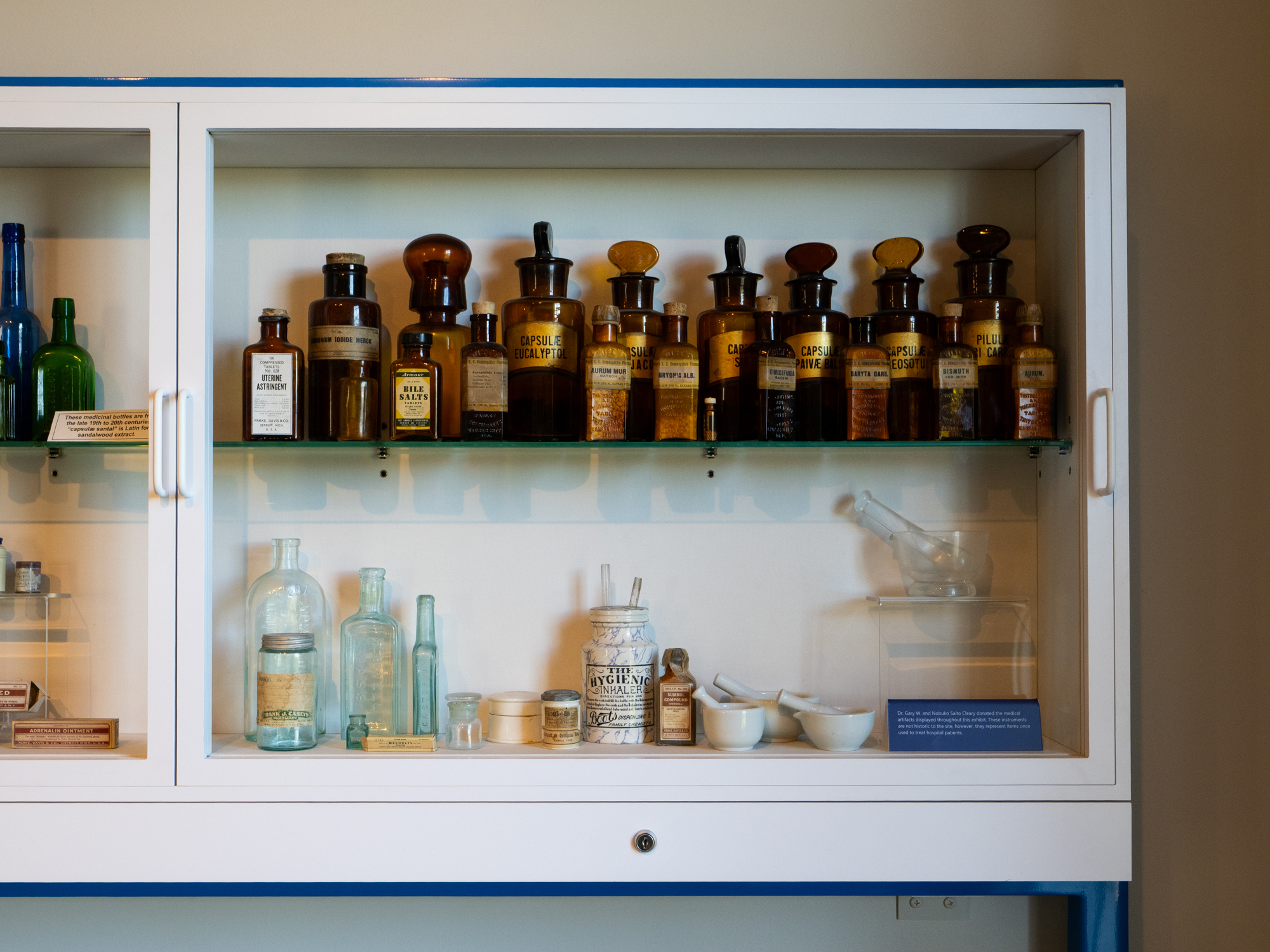
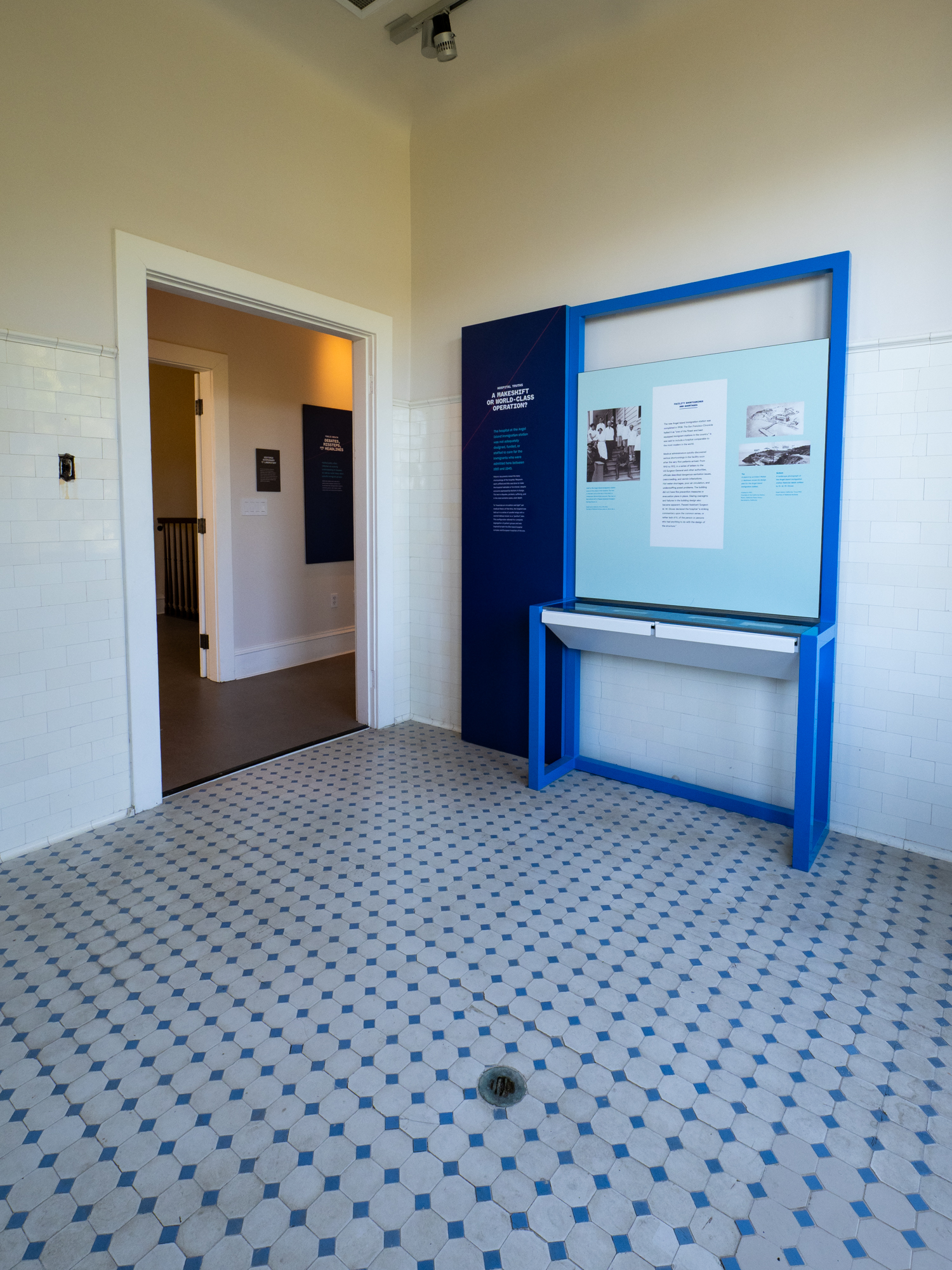
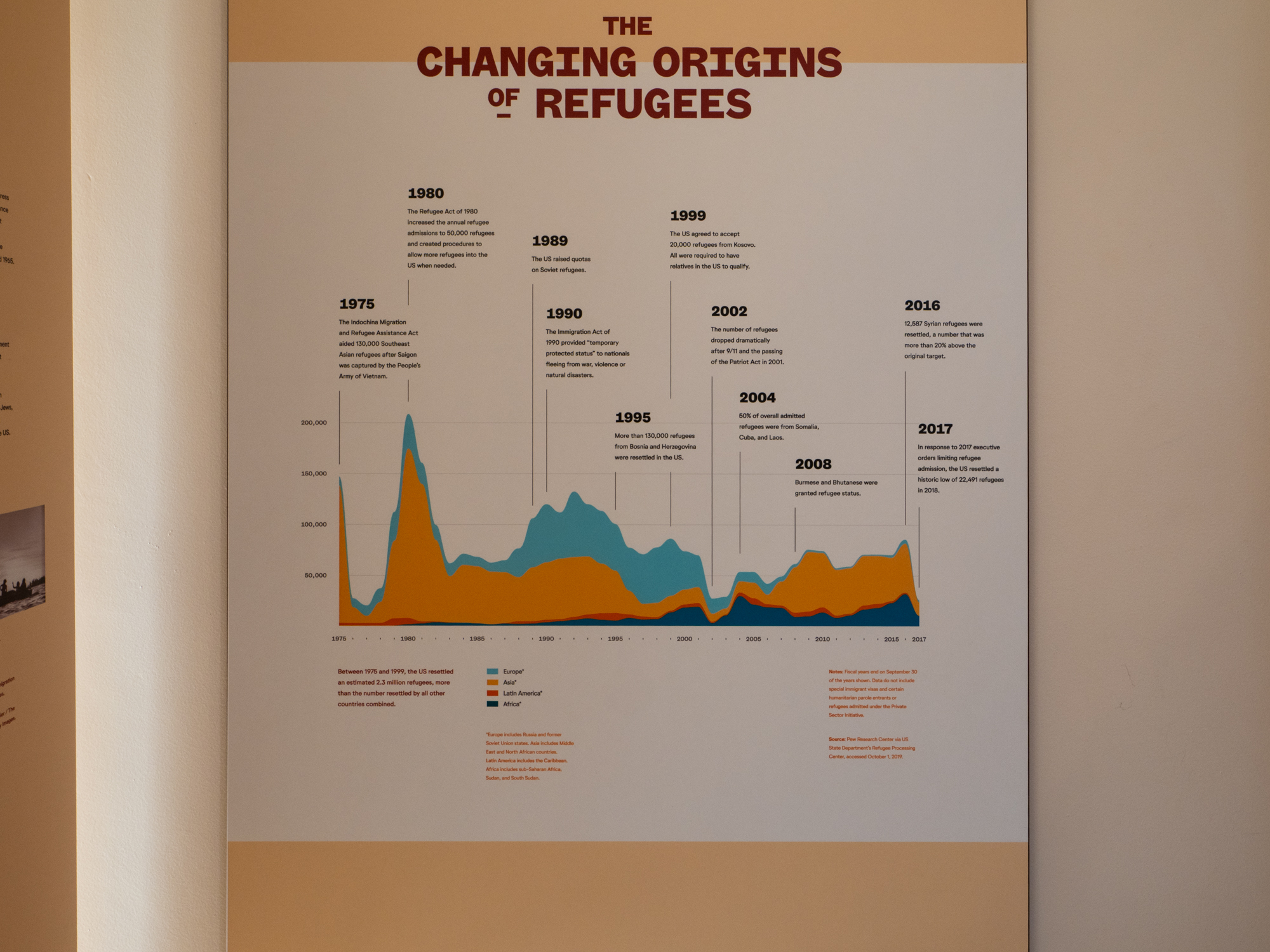
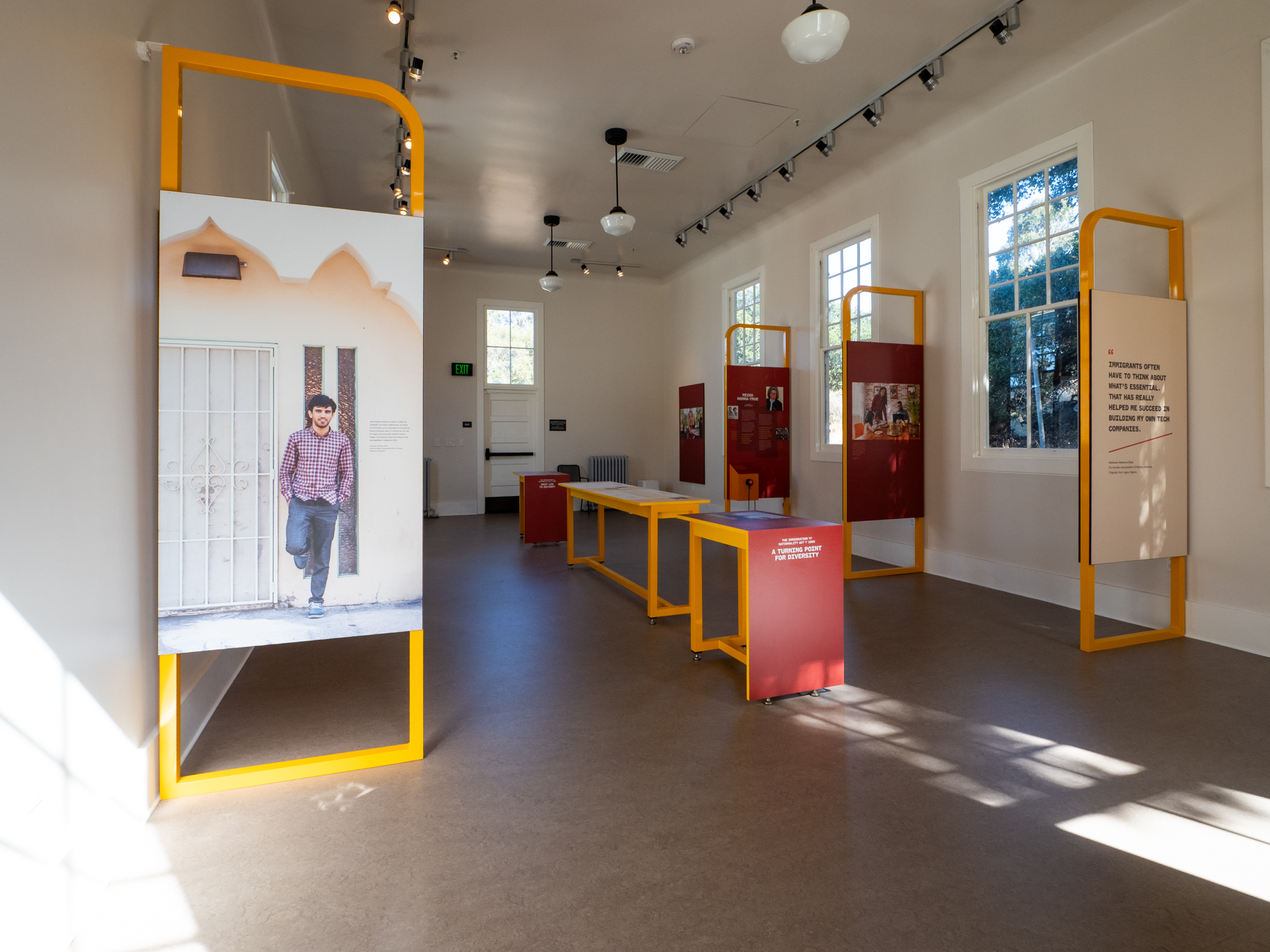
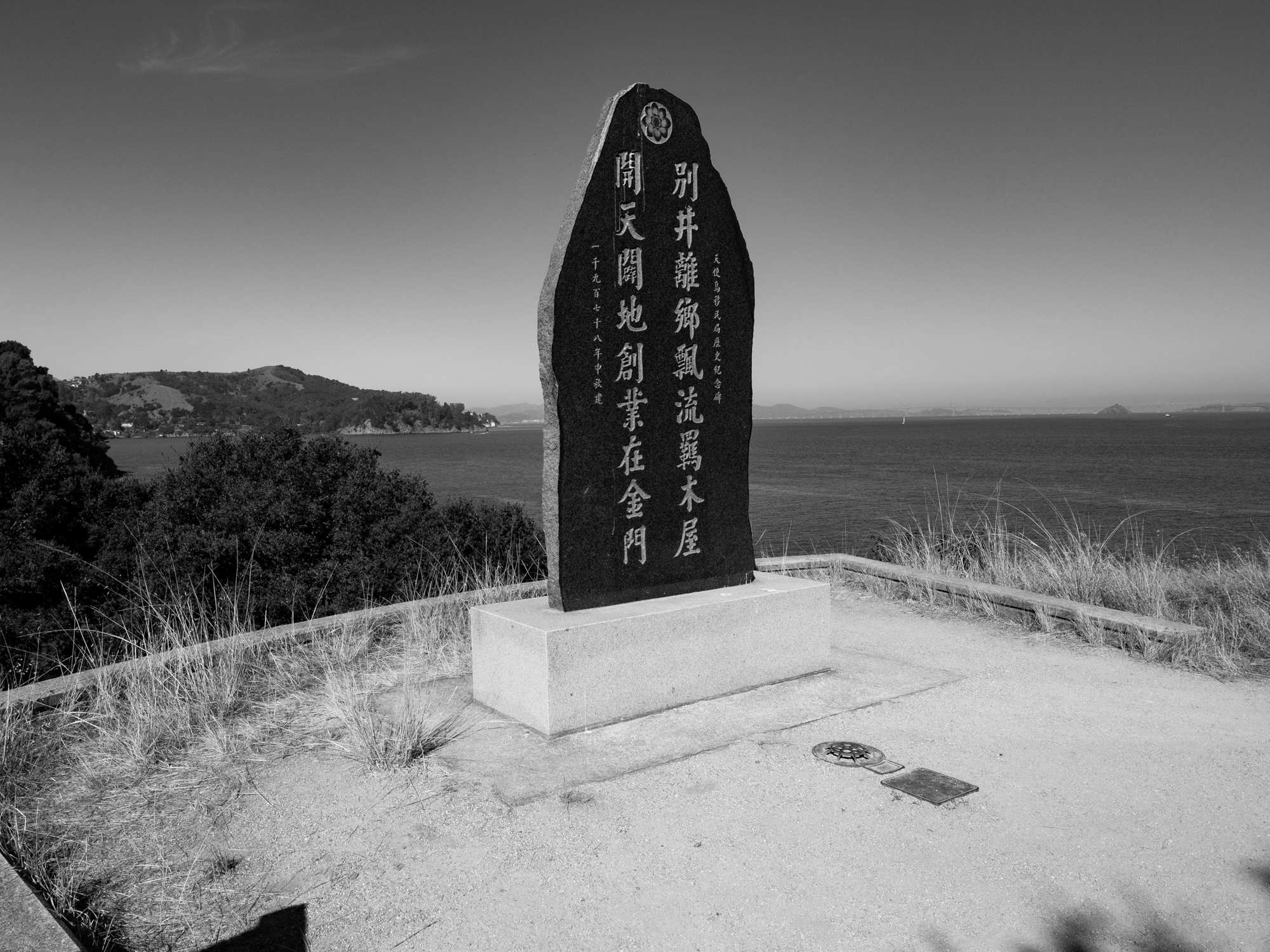
At the Immigration Station, the island’s beauty sits alongside a much harder history. Between 1910 and 1940, immigrants from more than 80 countries passed through here, many facing detention and exclusion under discriminatory immigration laws. Chinese immigrants were particularly affected by the Chinese Exclusion Act. A fire in 1940 hastened the station’s closure. Walking among these buildings, I kept thinking about the distance between seeing San Francisco across the water and being allowed to begin a life there.
Fort McDowell — East Garrison
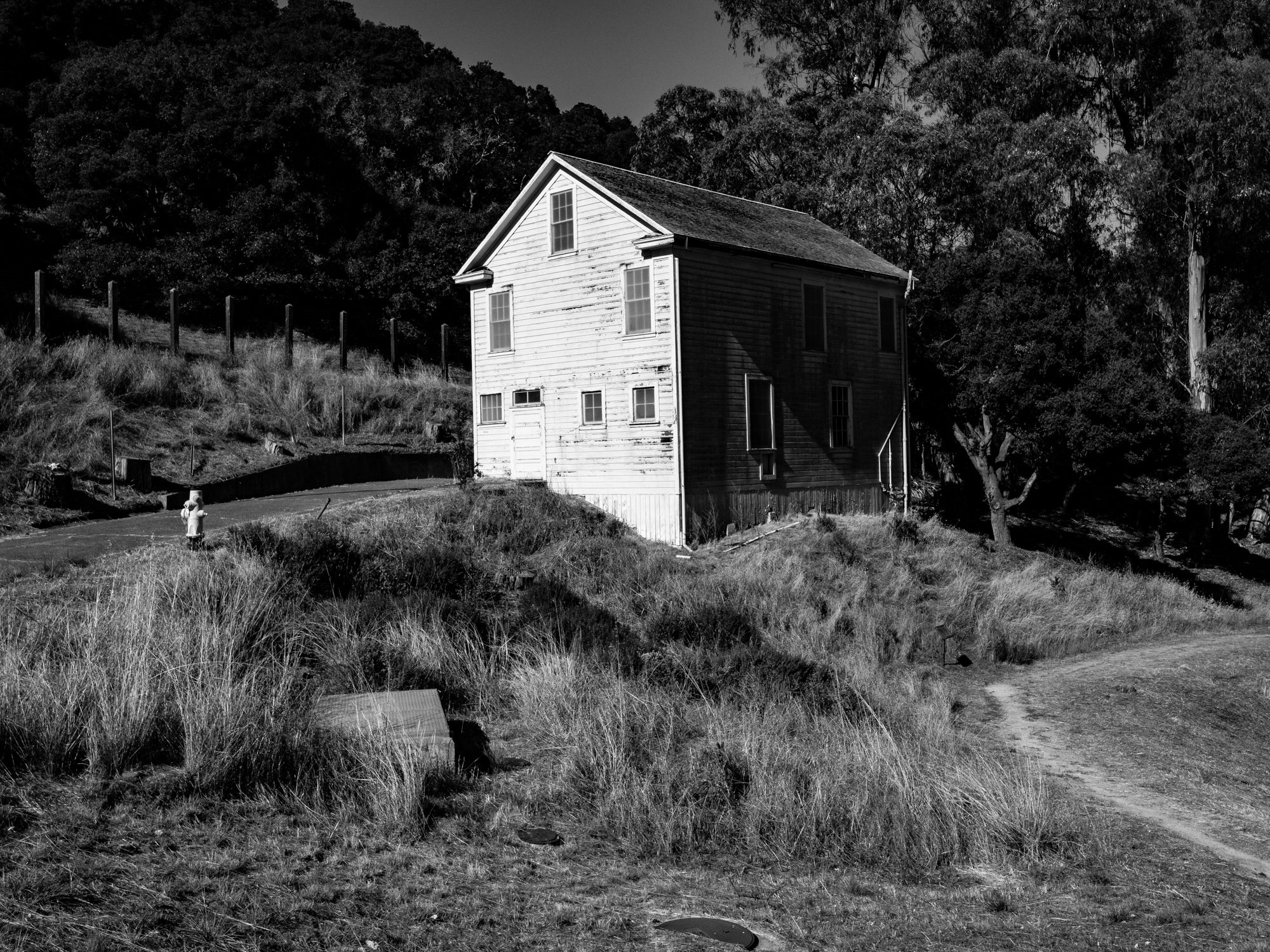
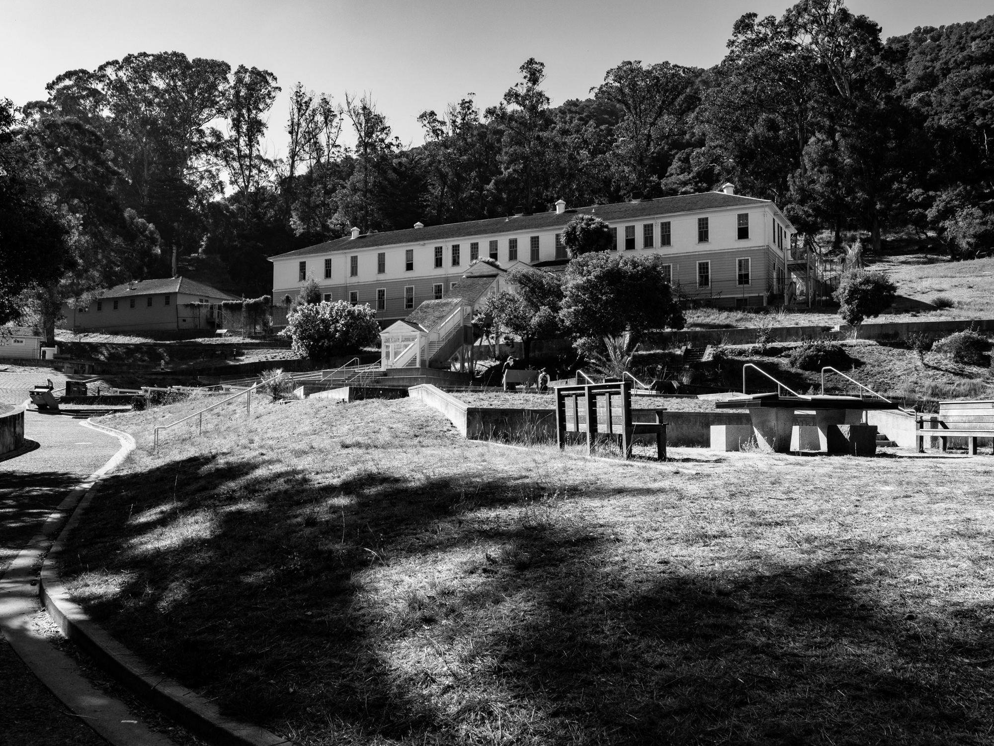
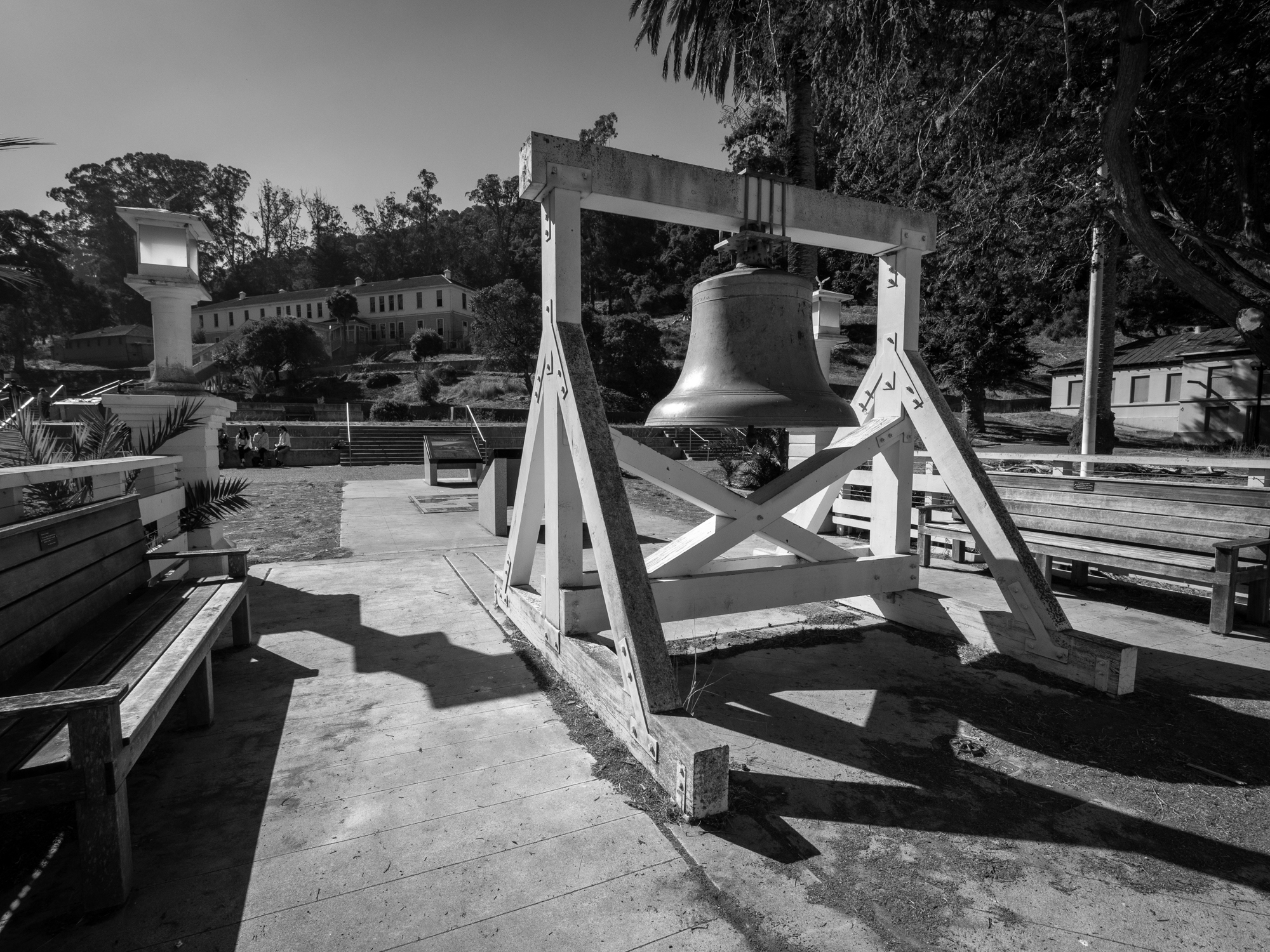
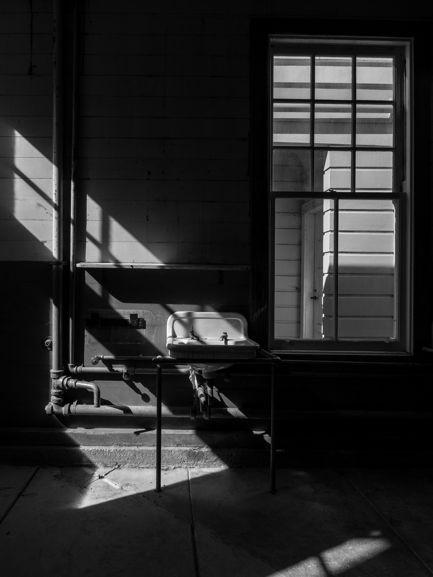
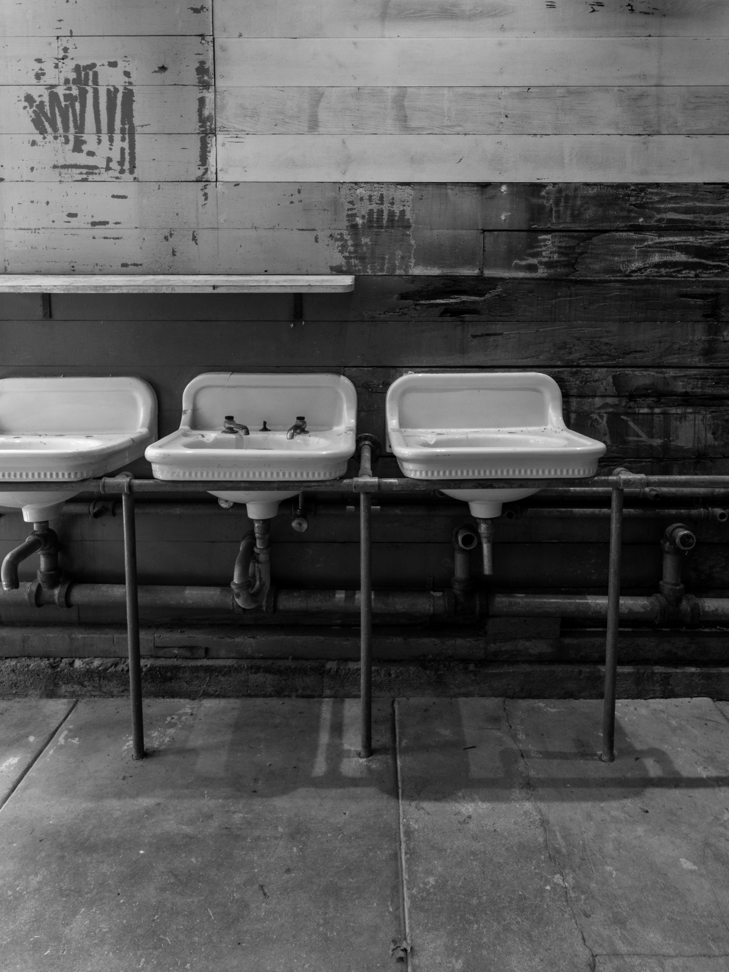
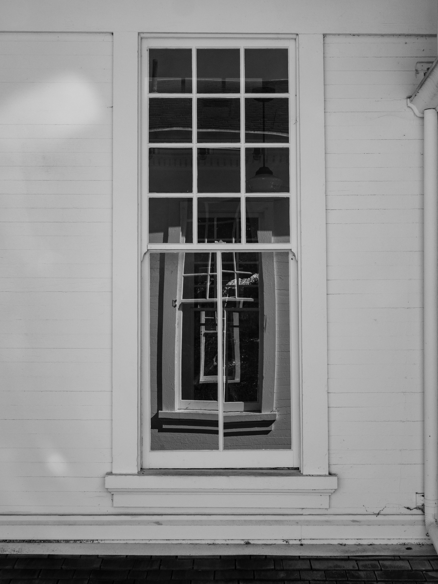
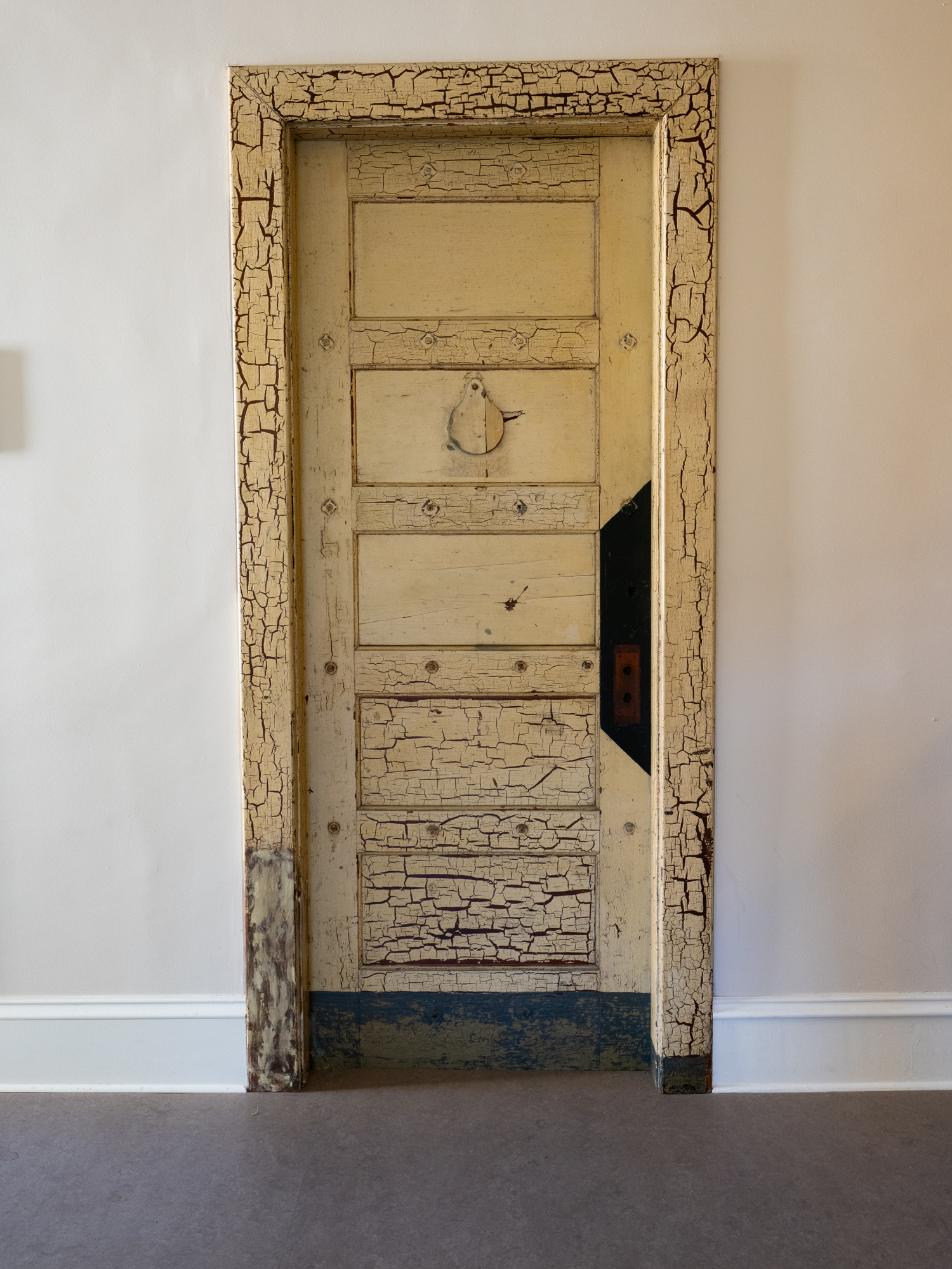
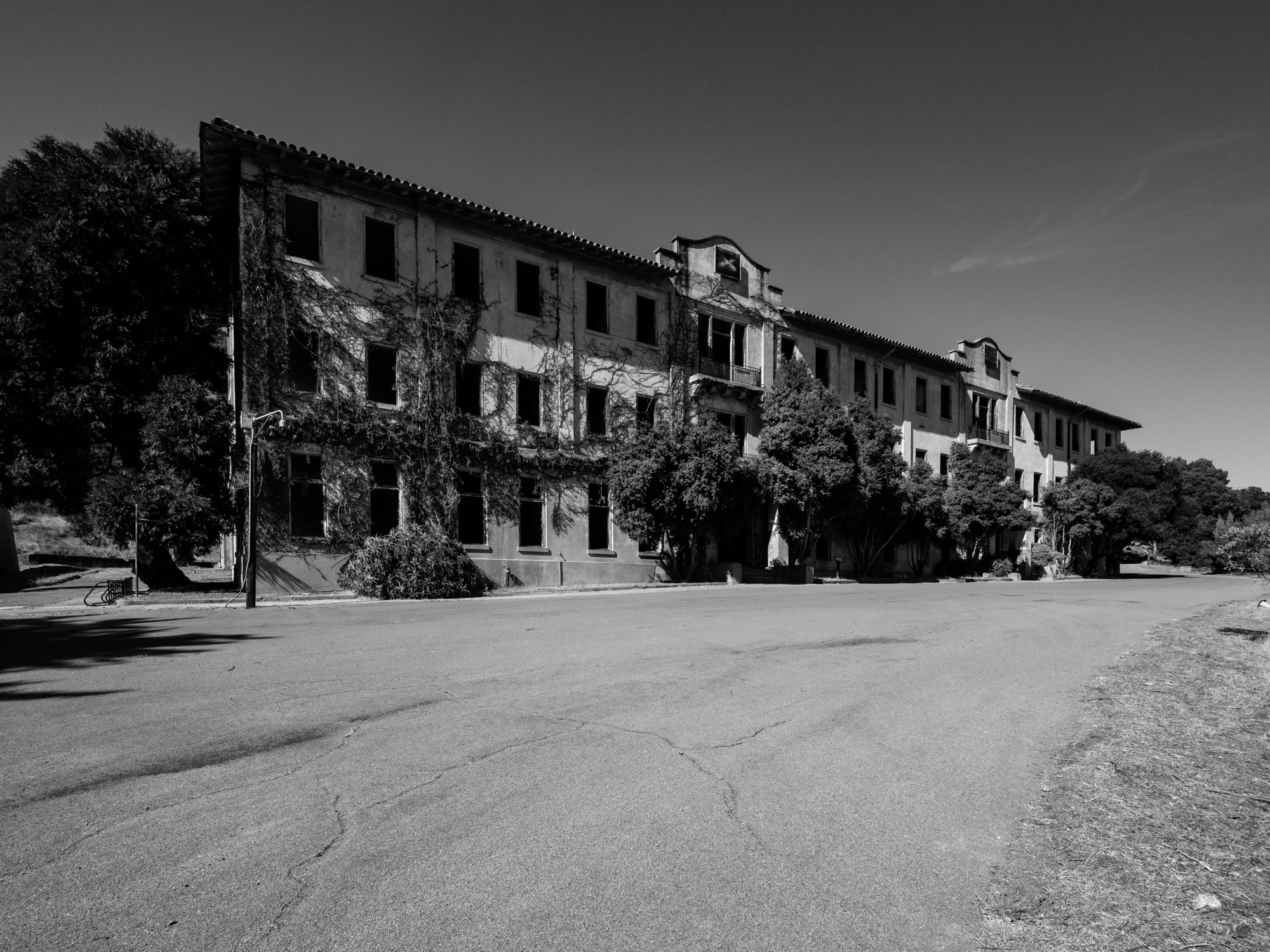
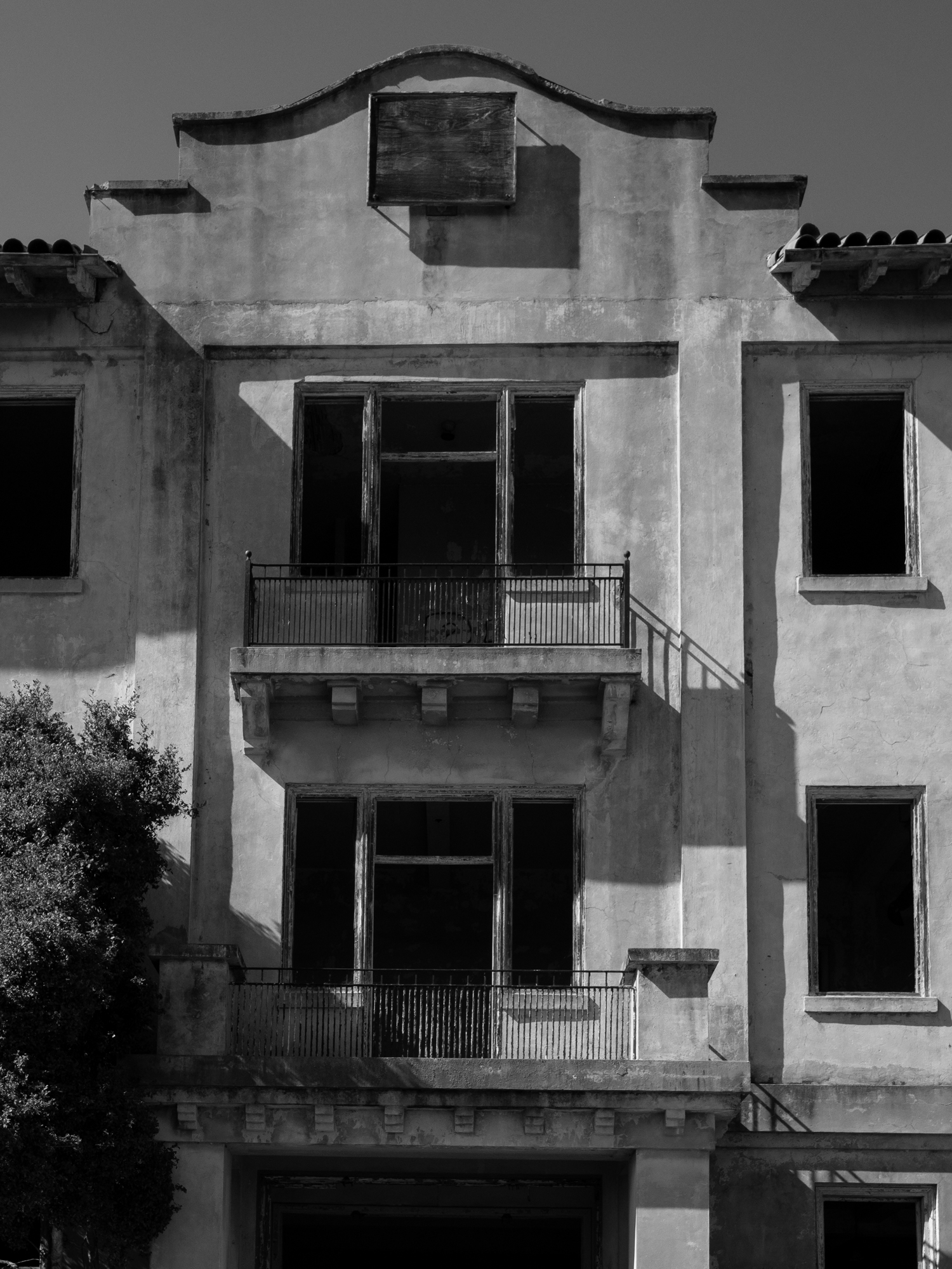
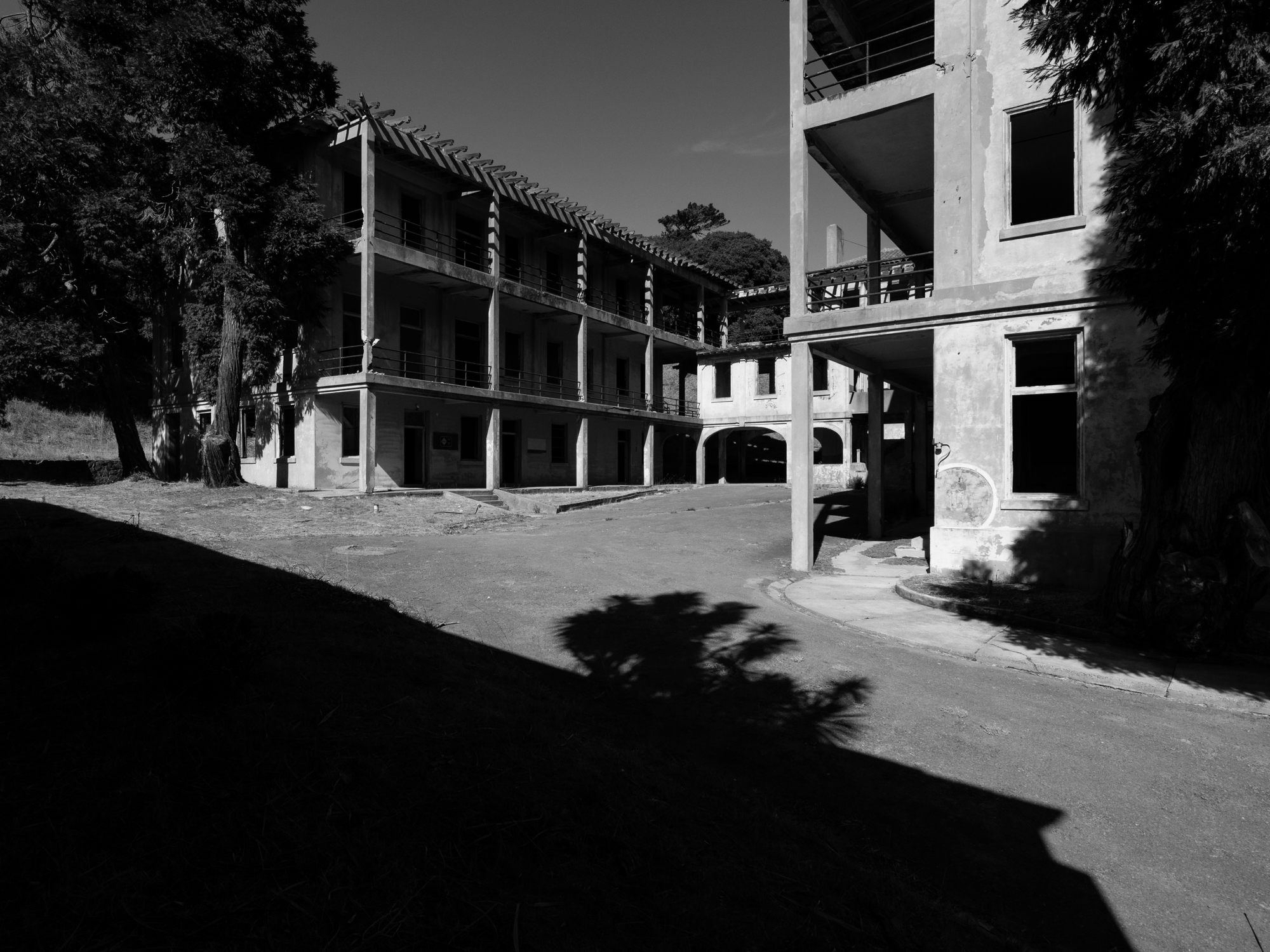
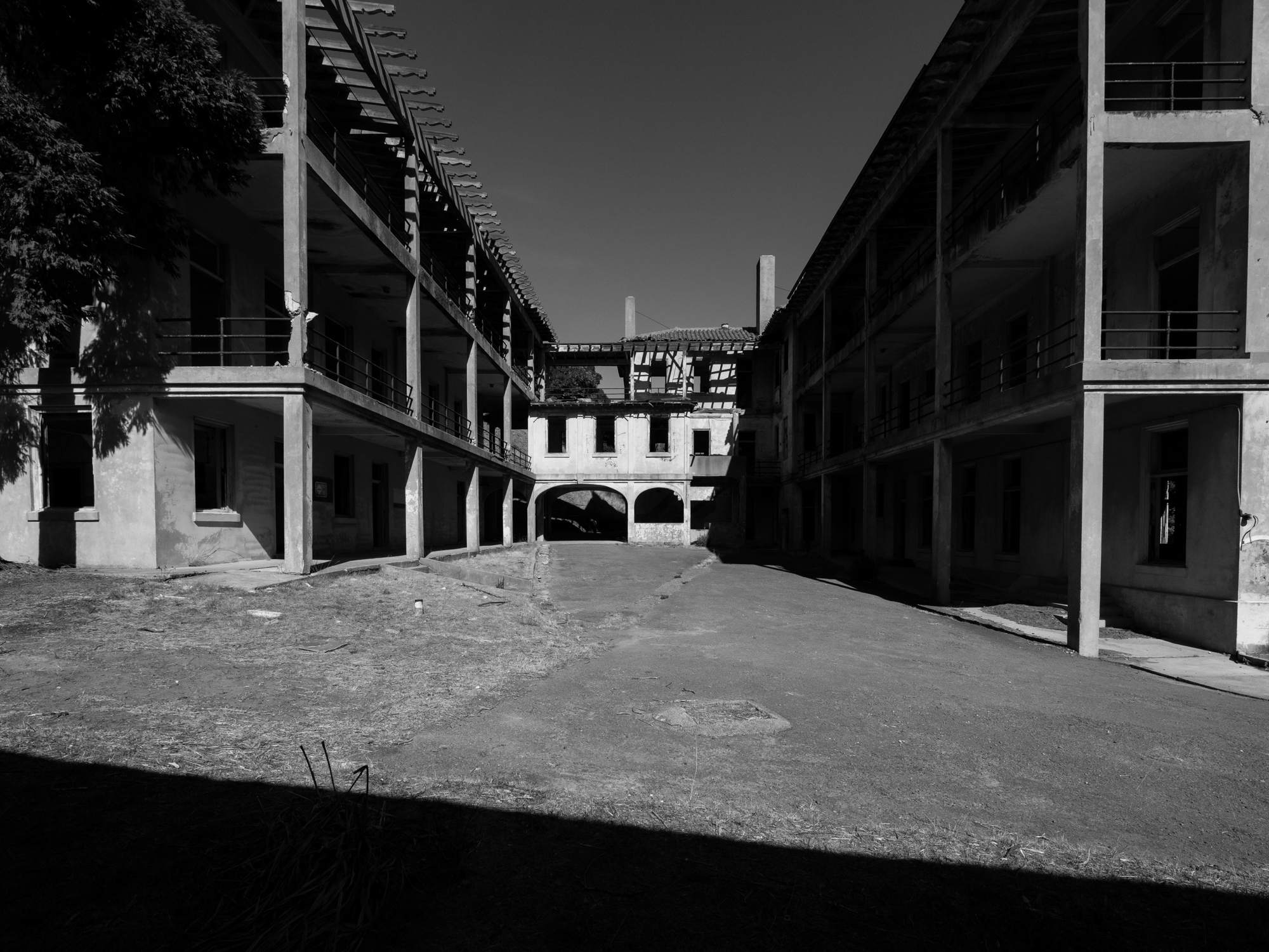
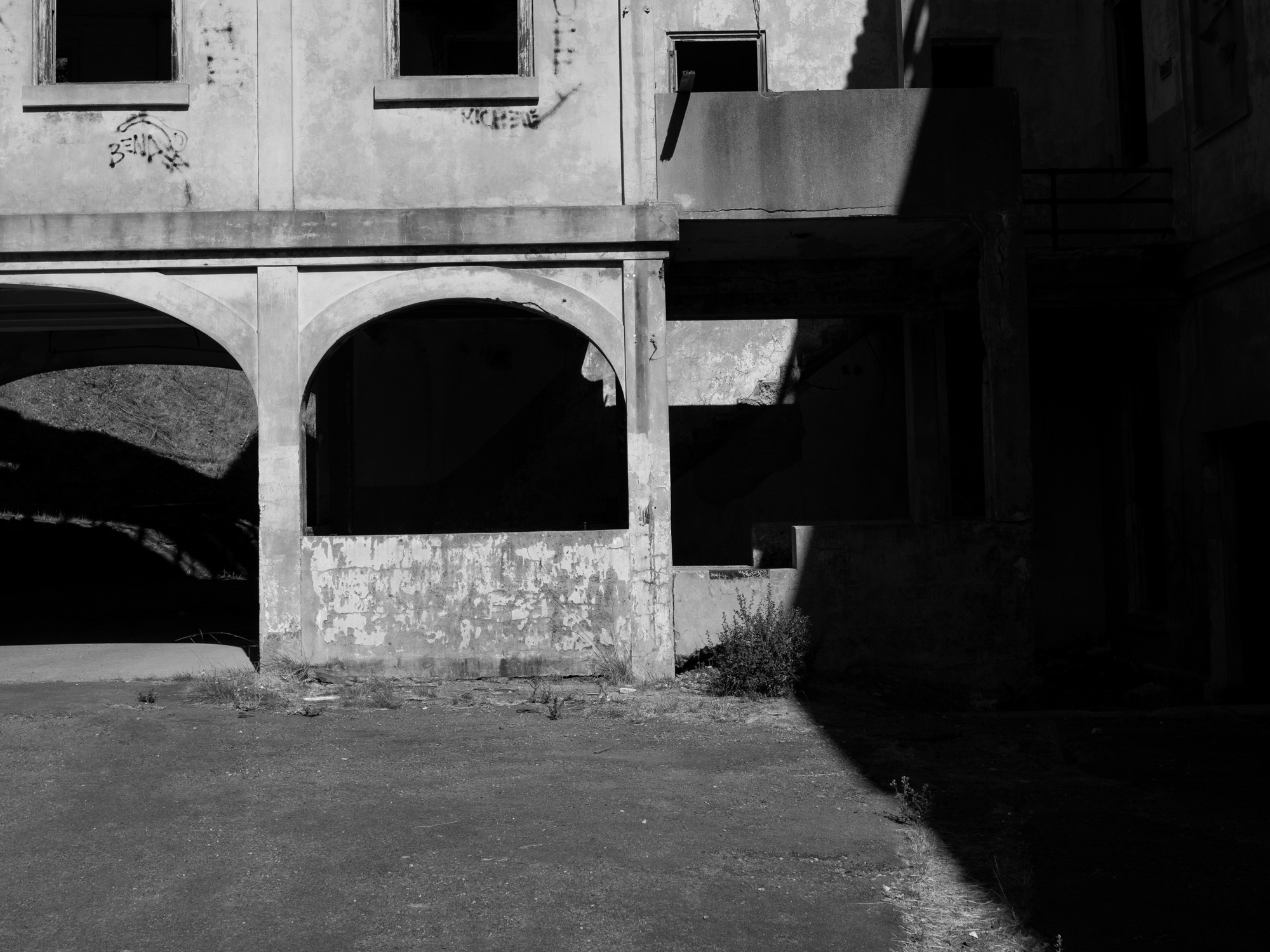
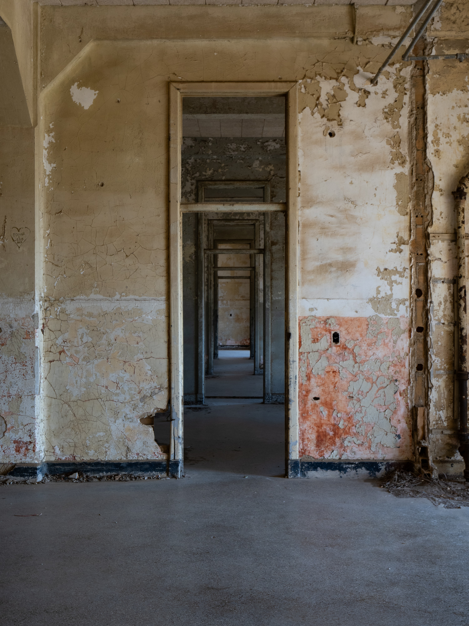
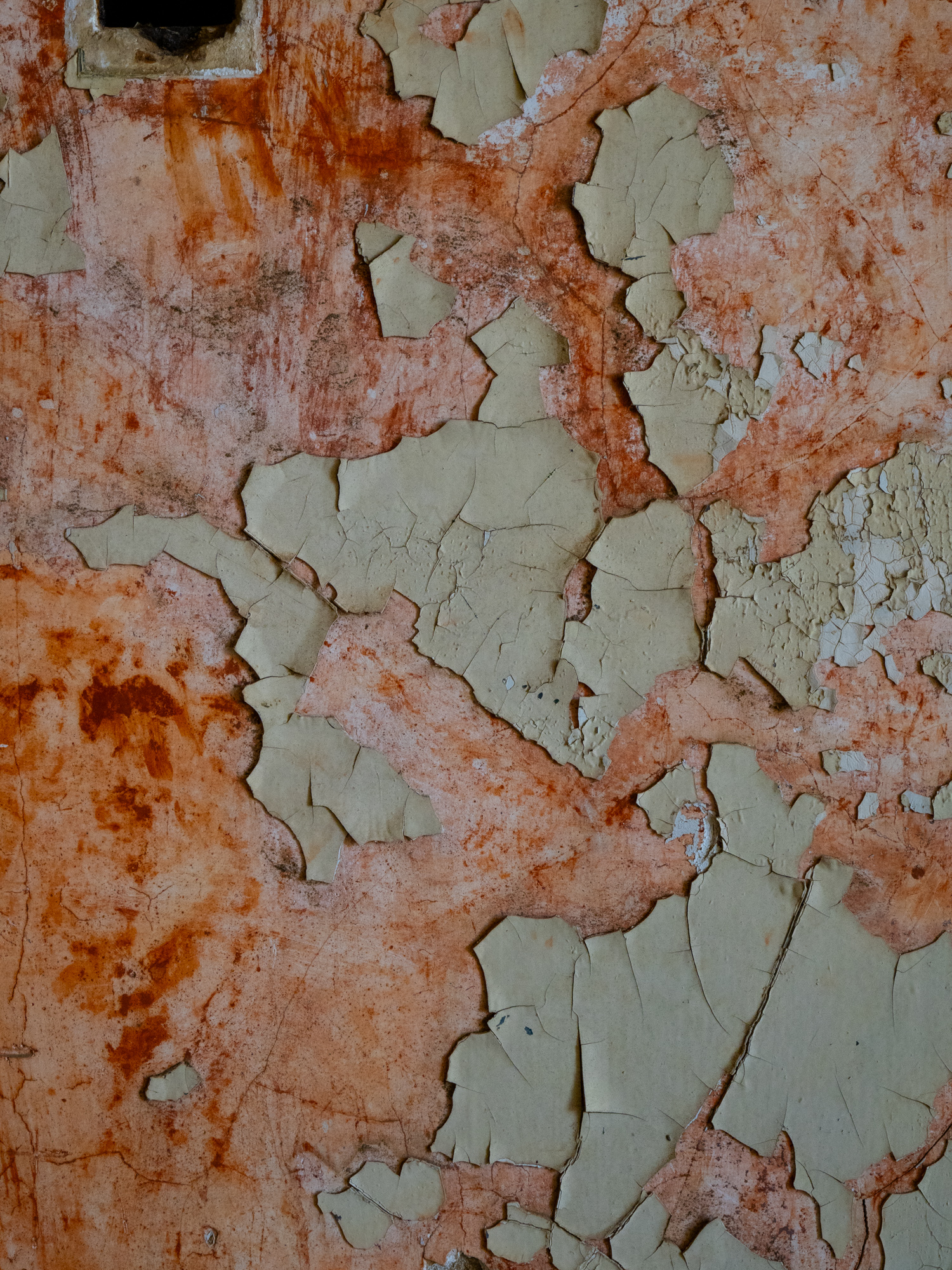
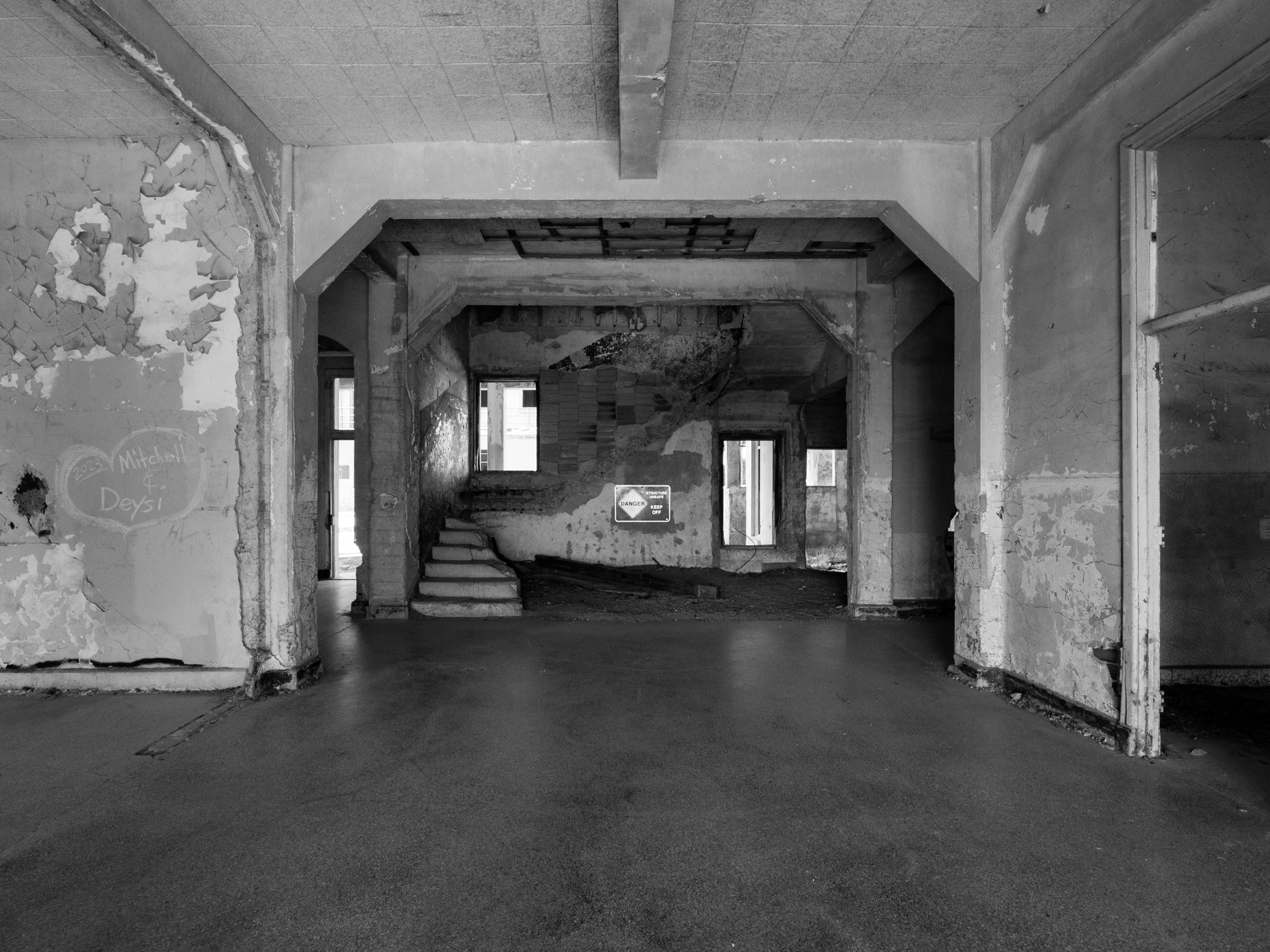
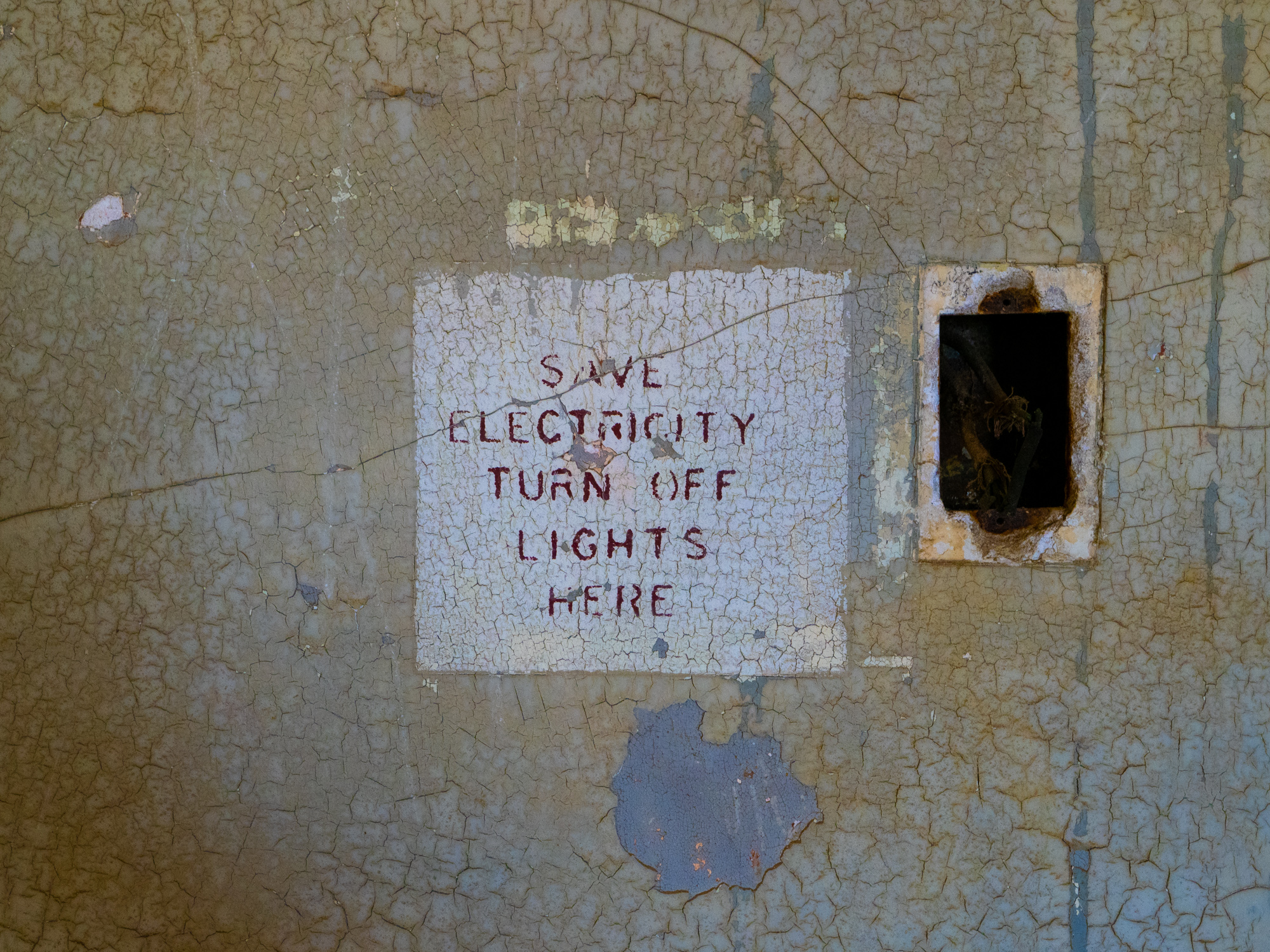
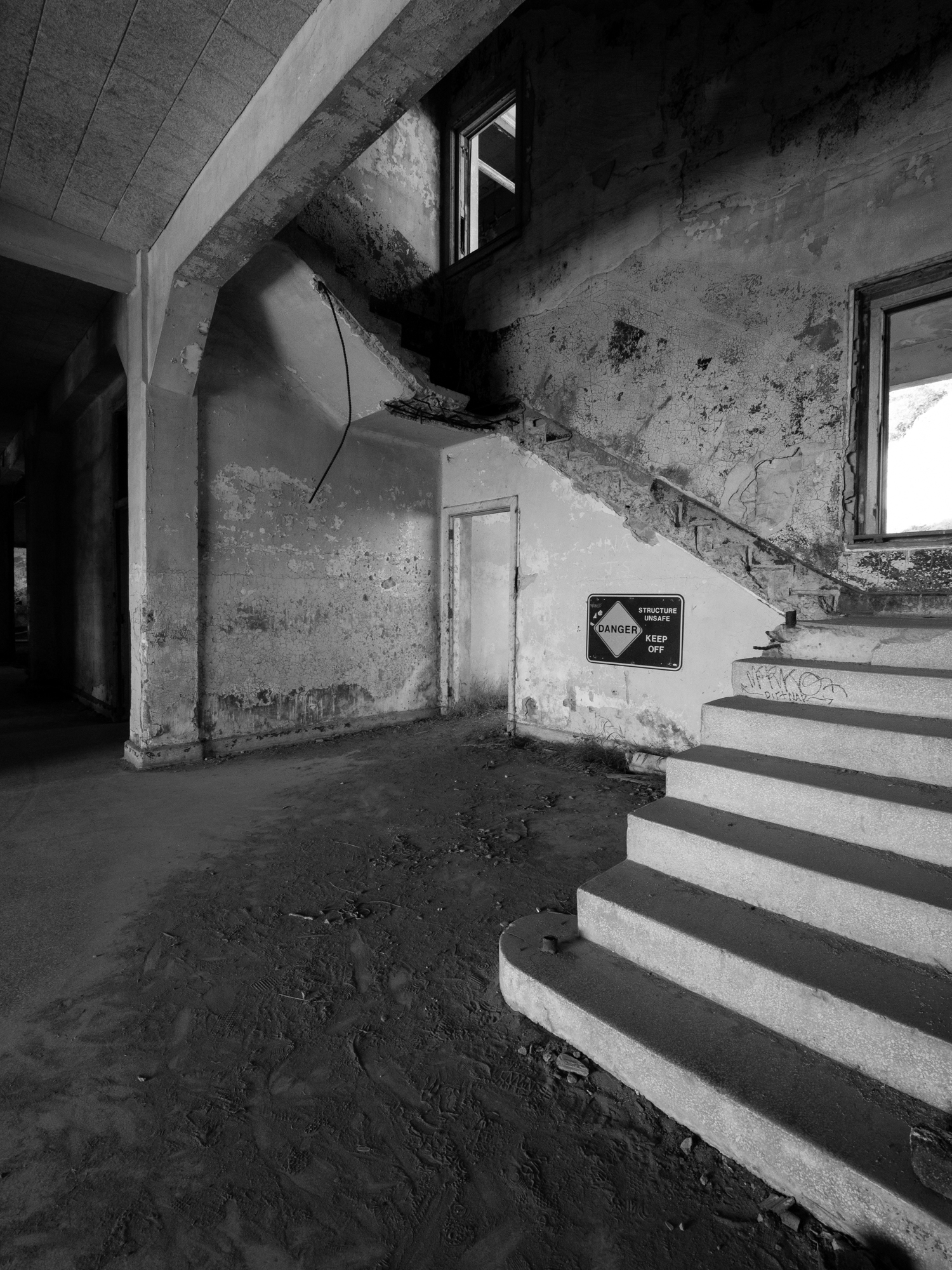
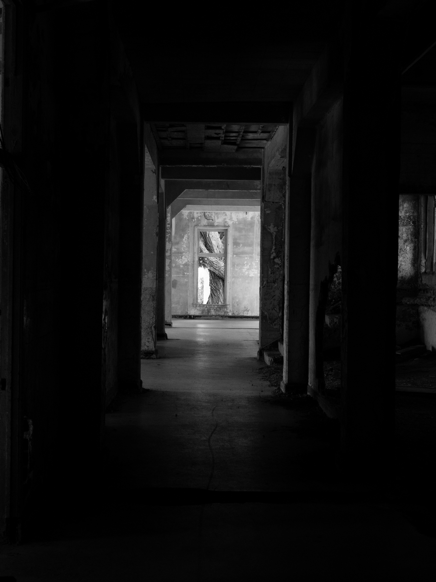
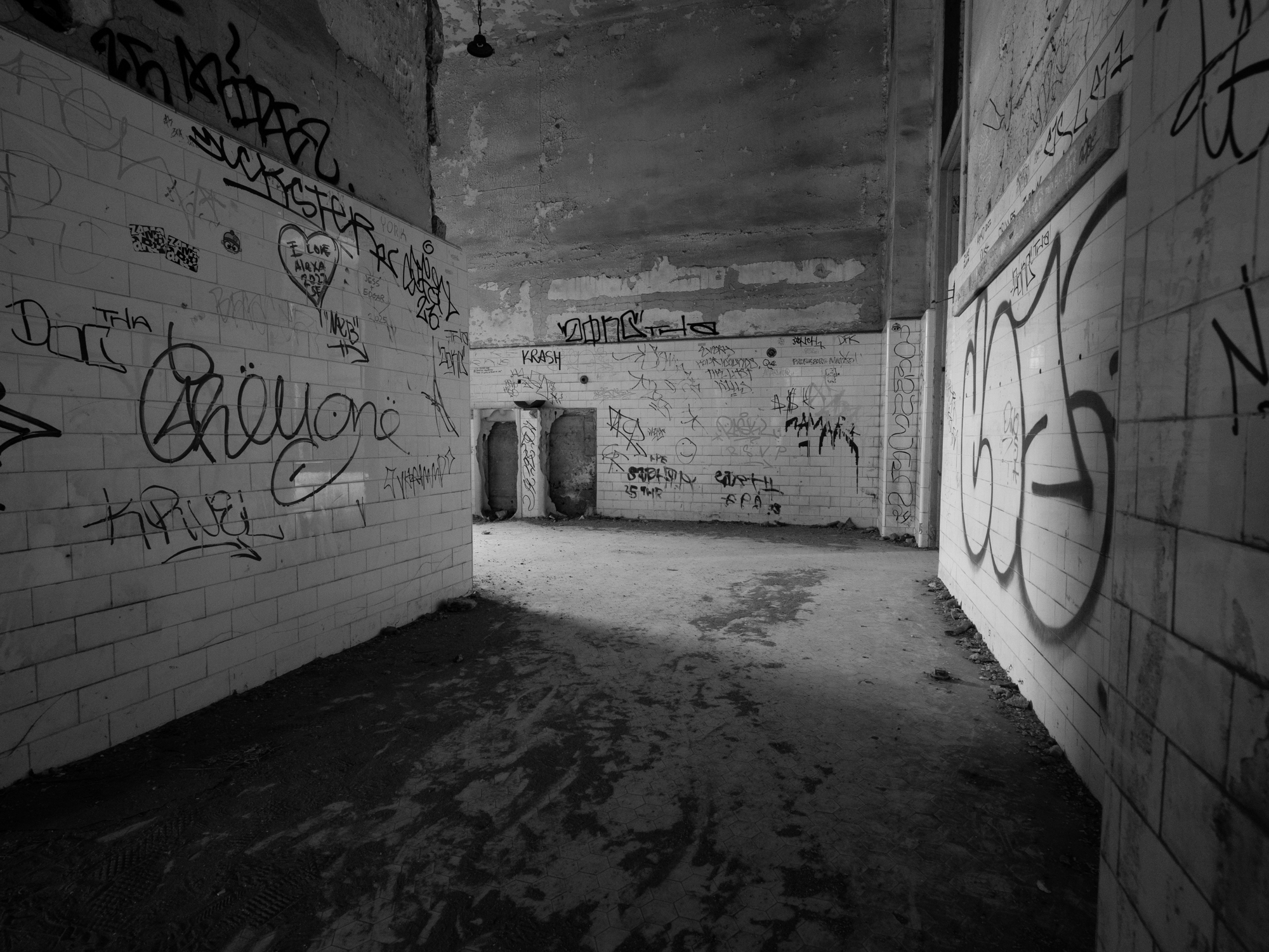
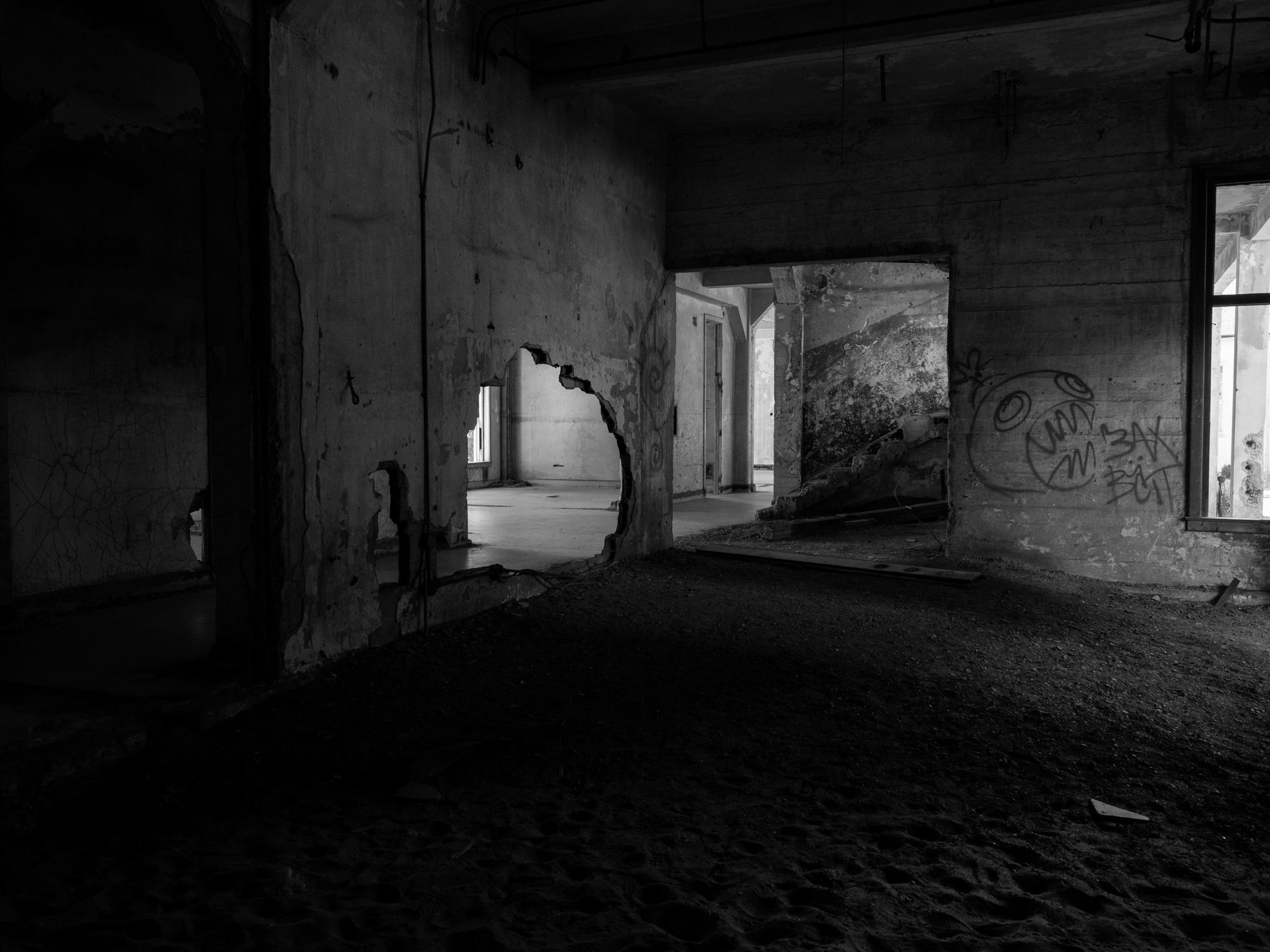
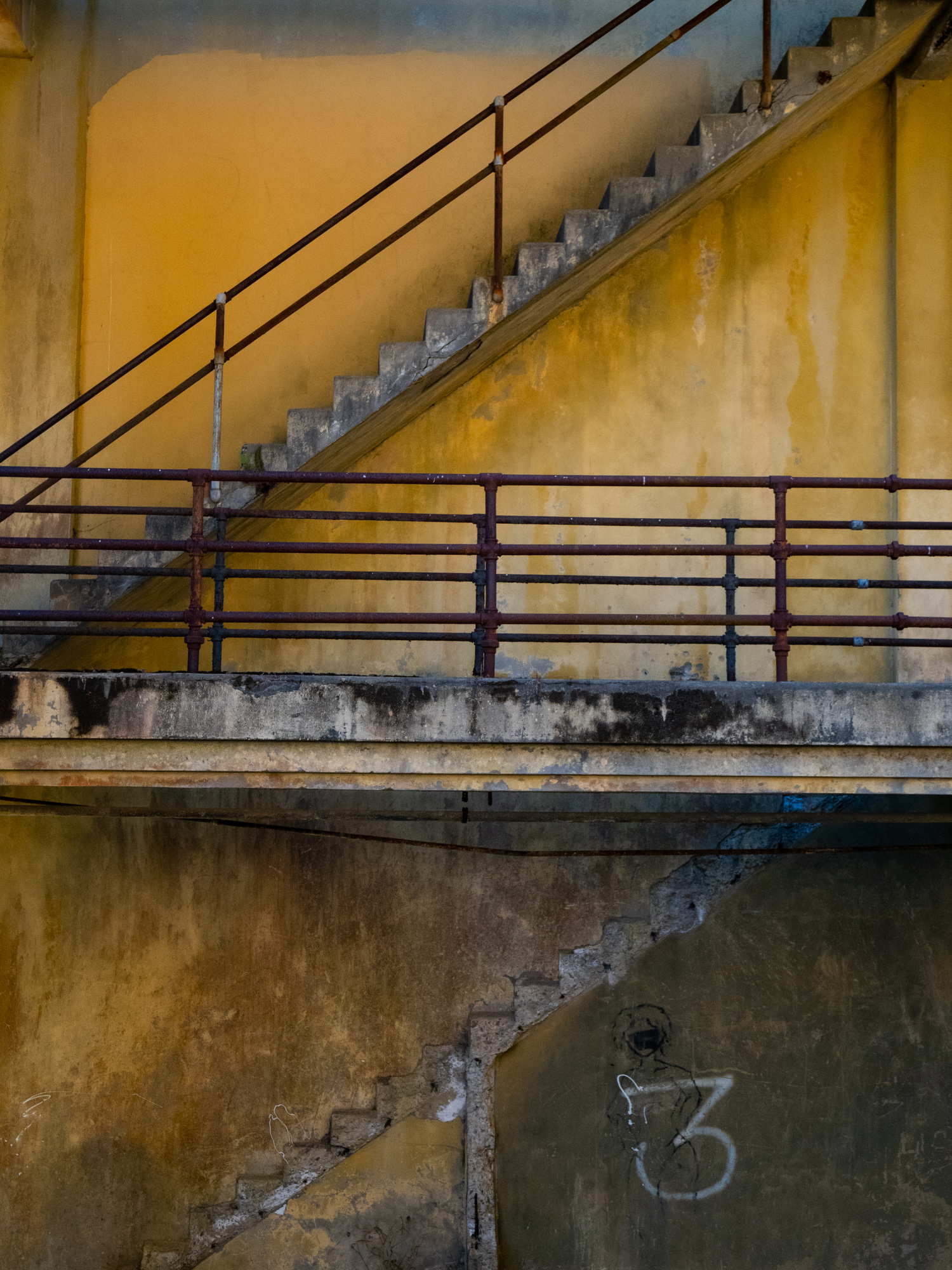
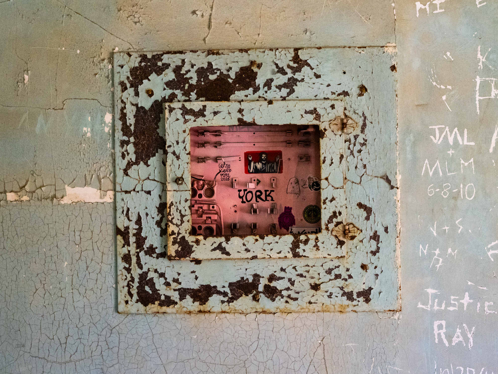
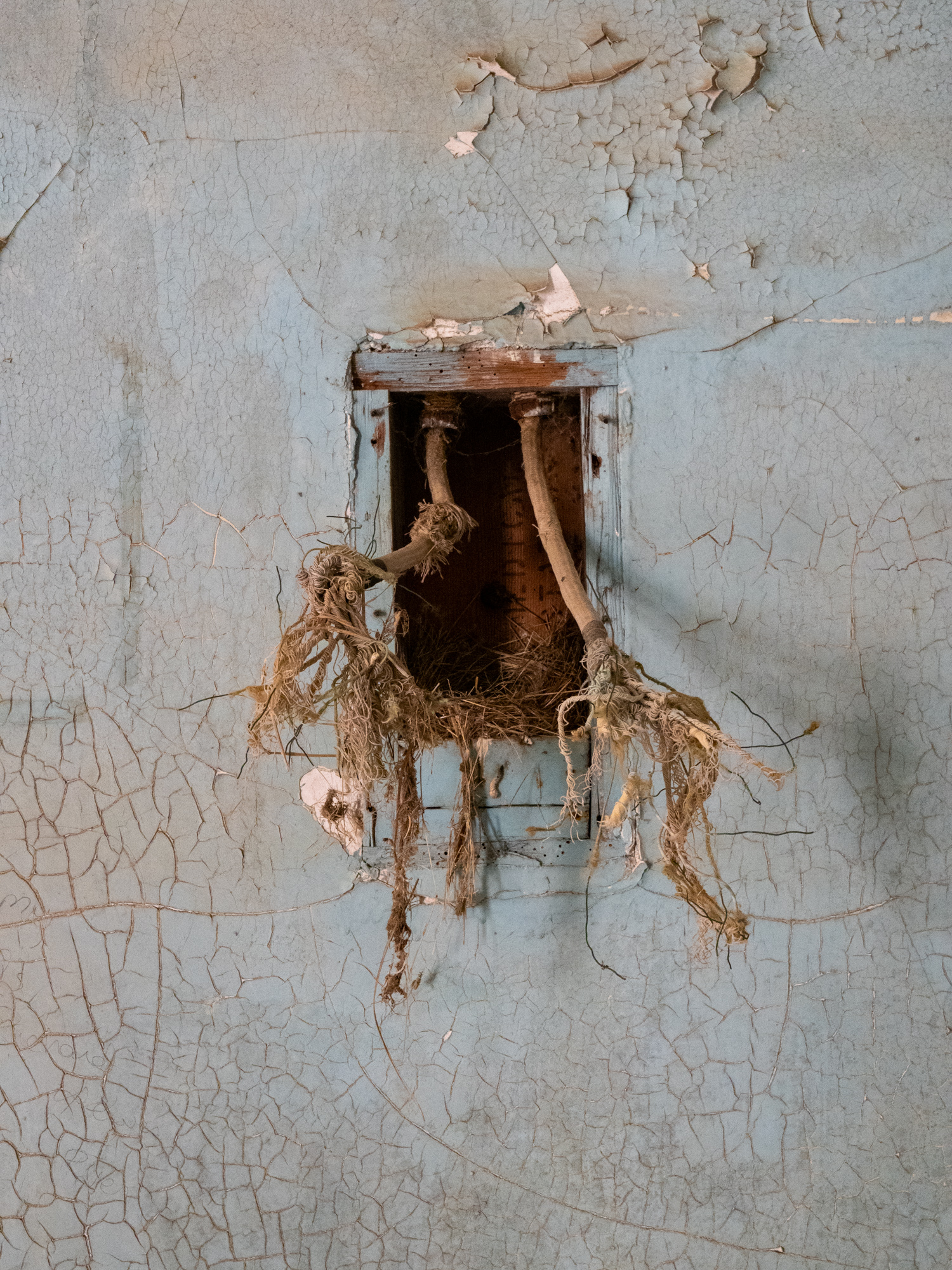
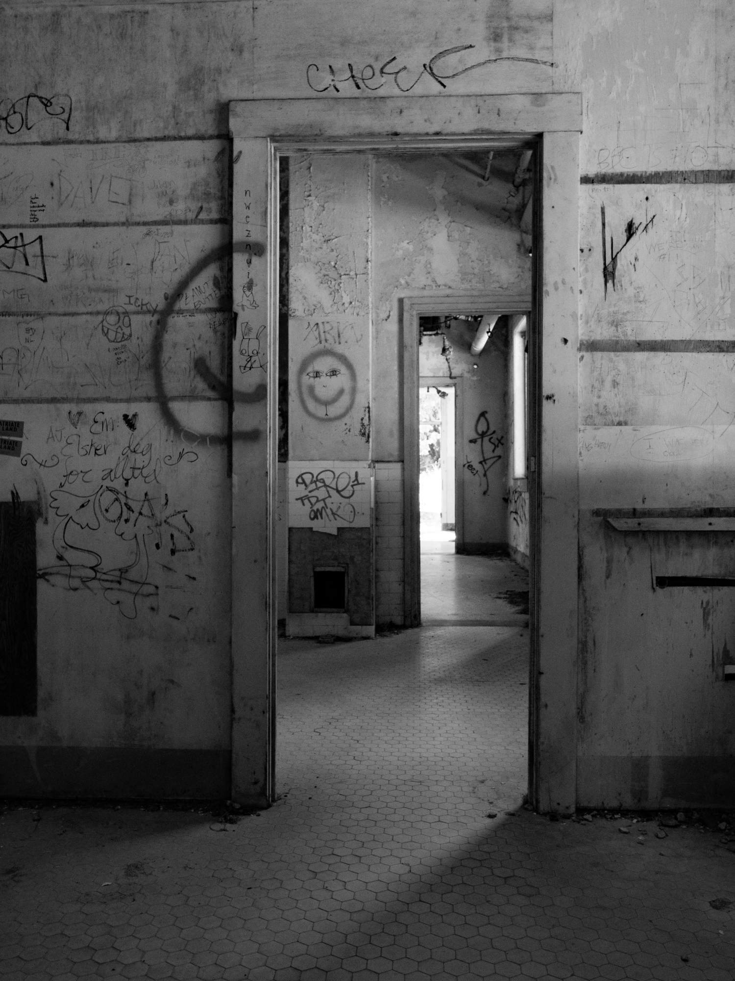
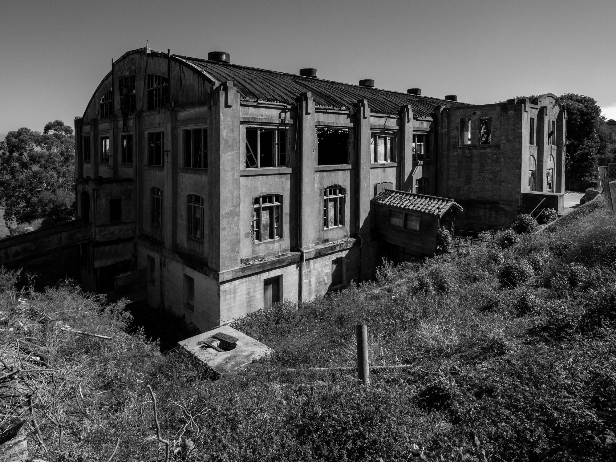
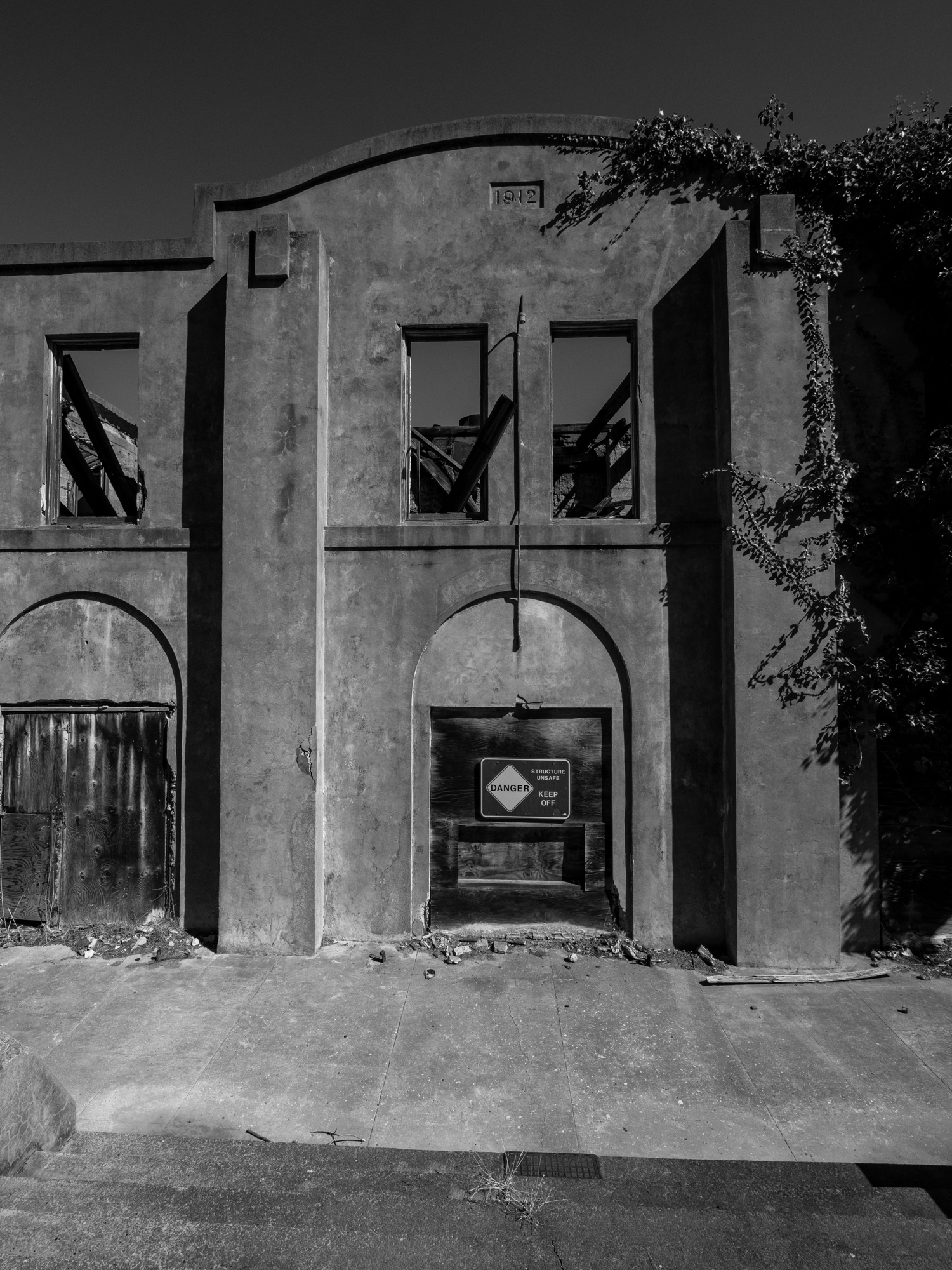
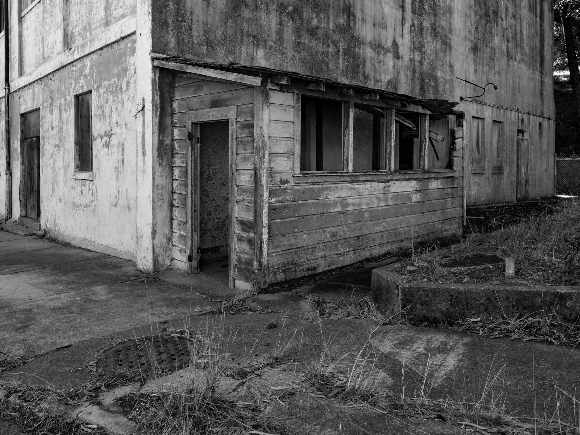
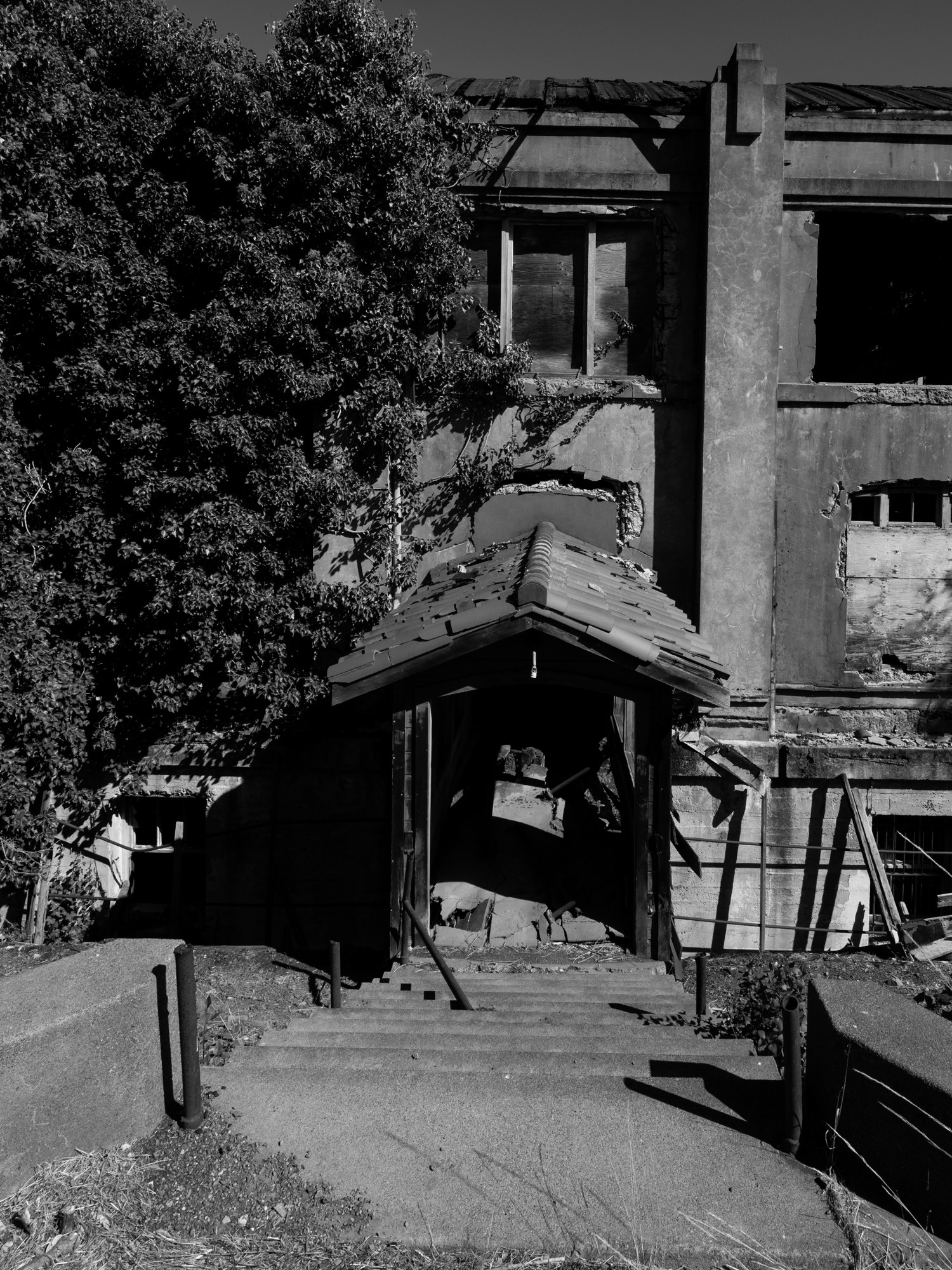
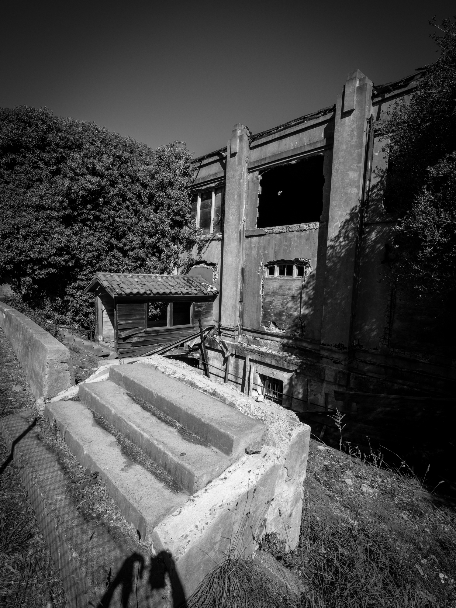
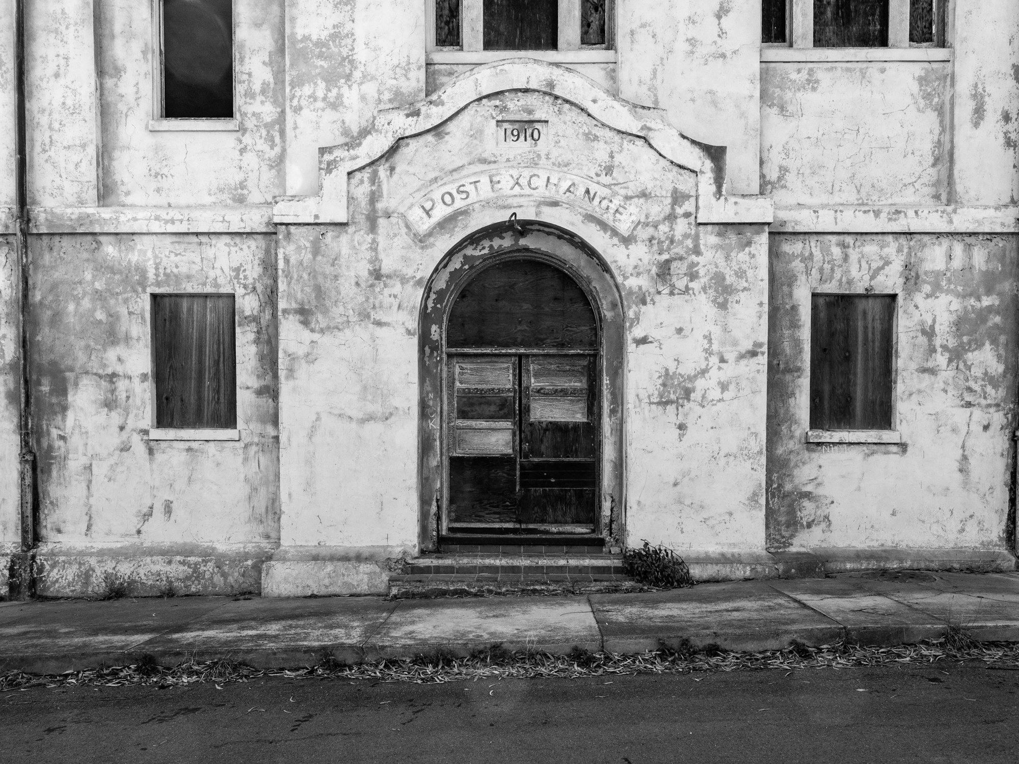
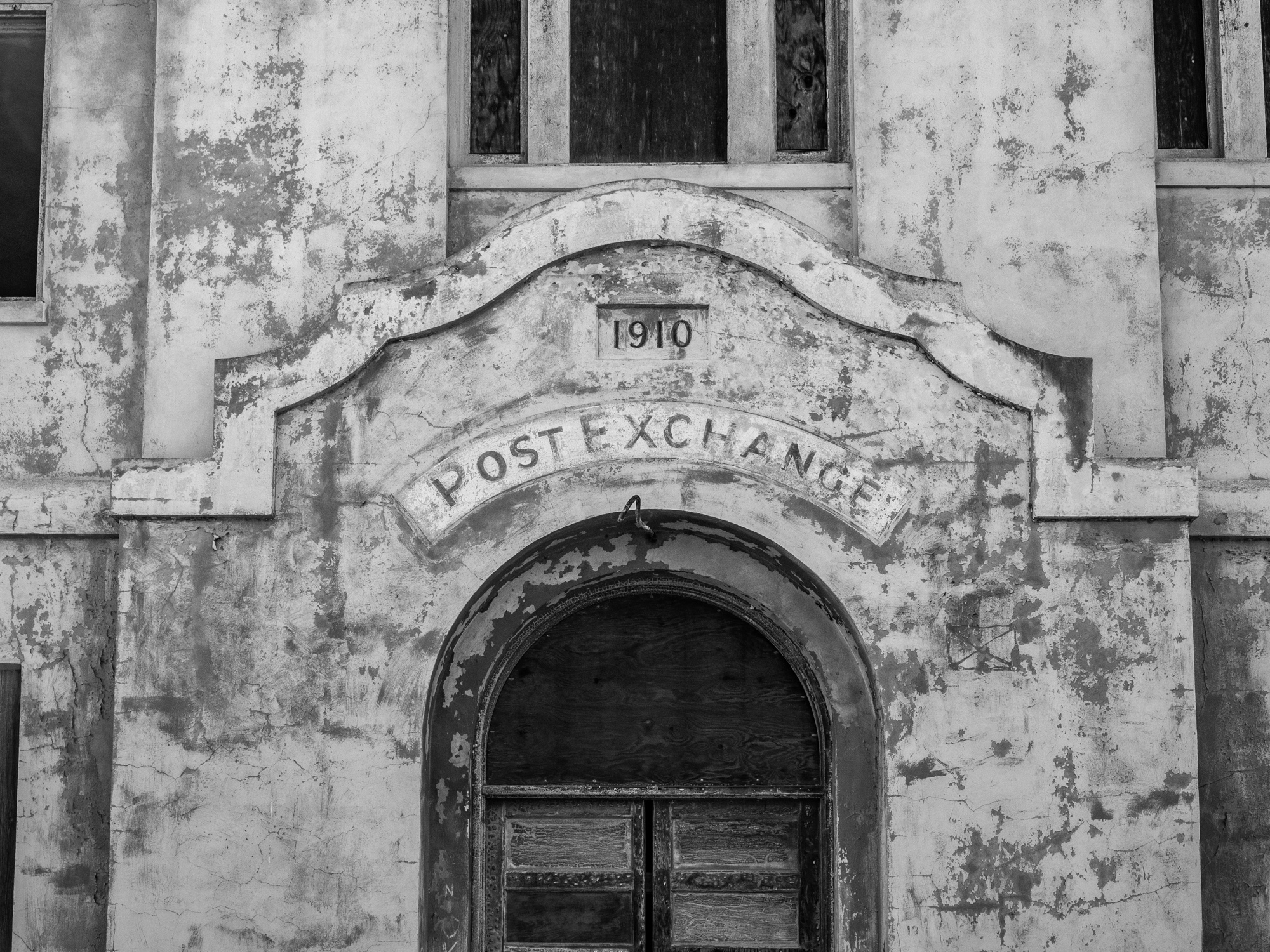
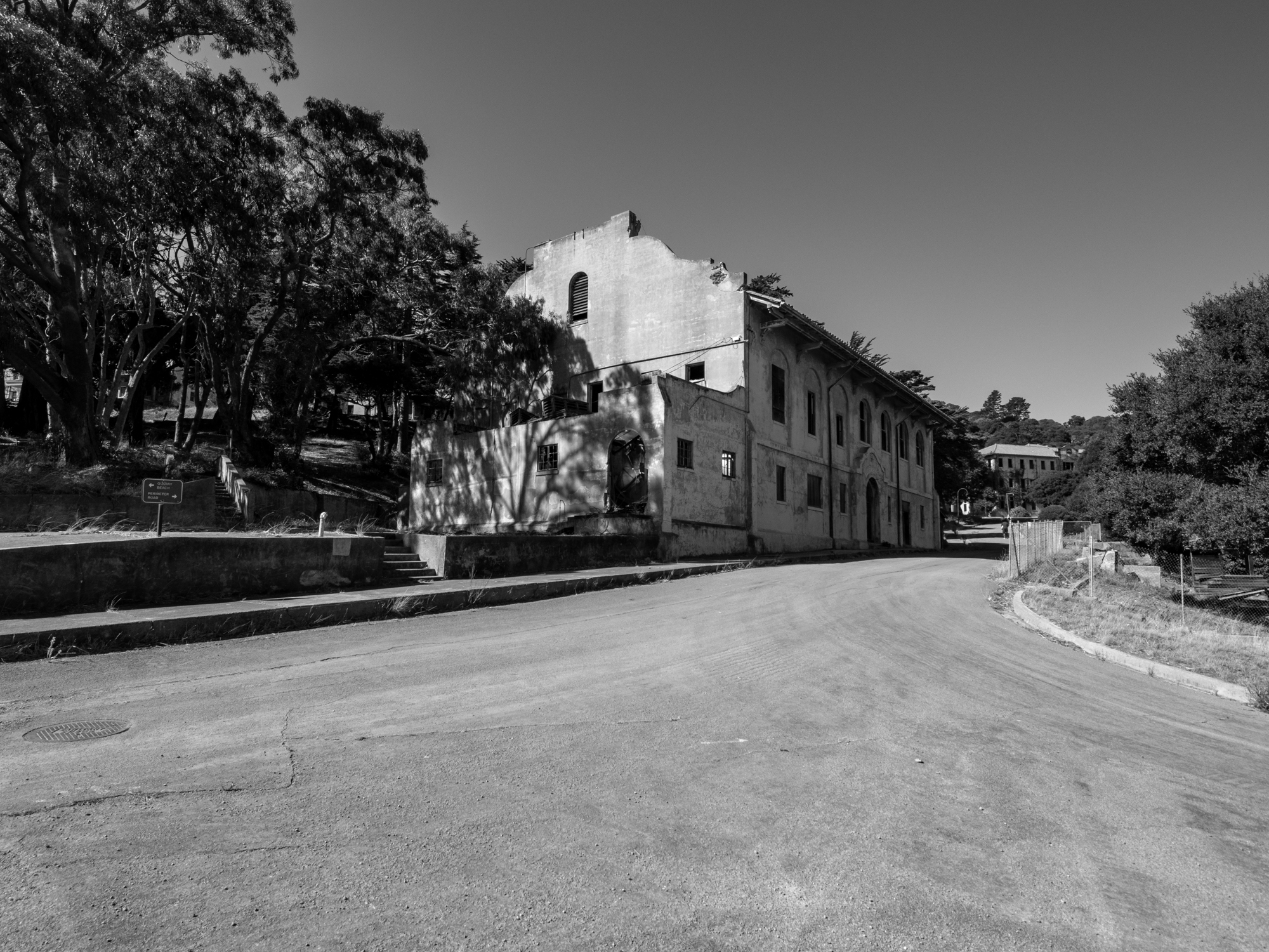
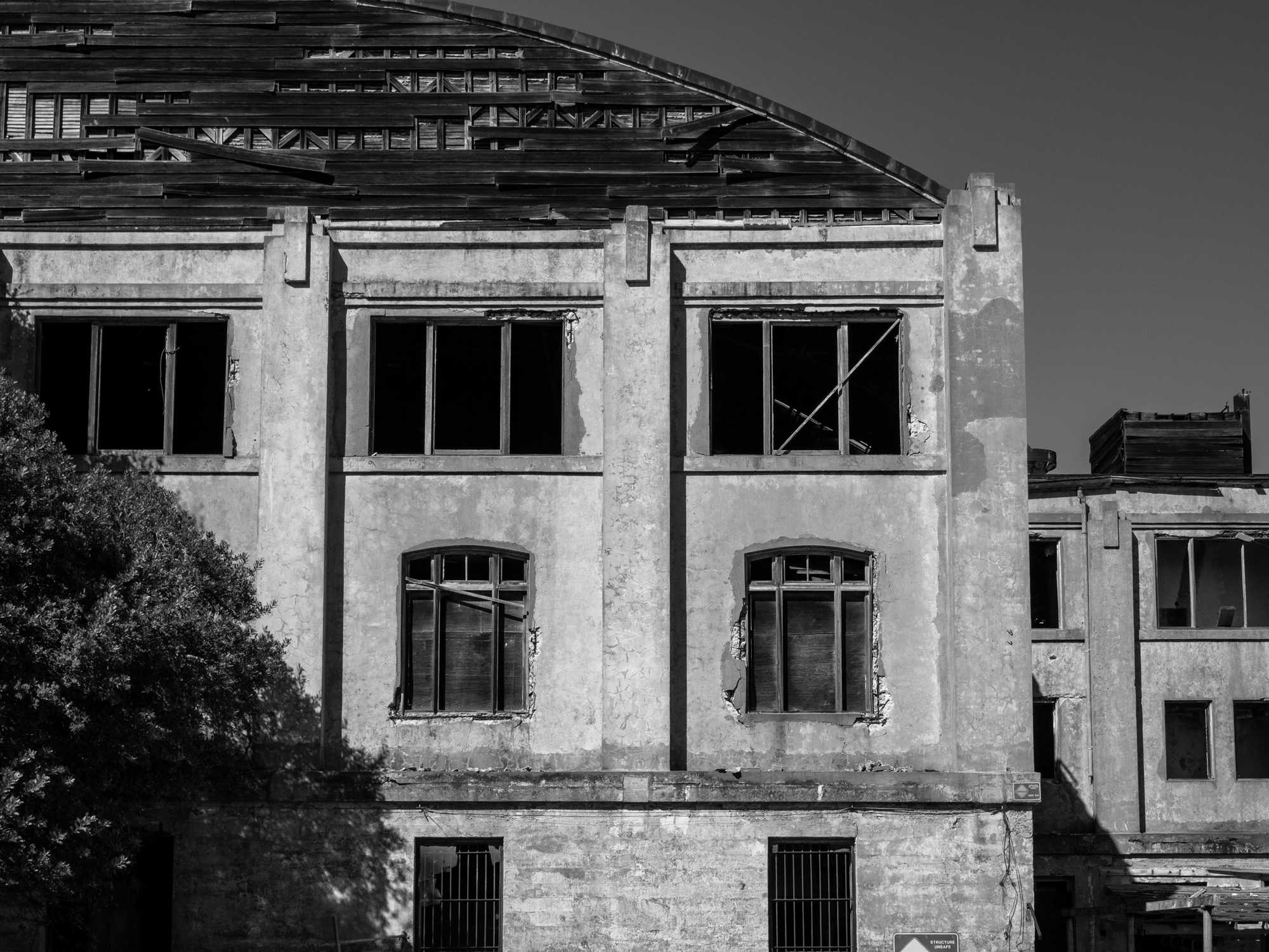
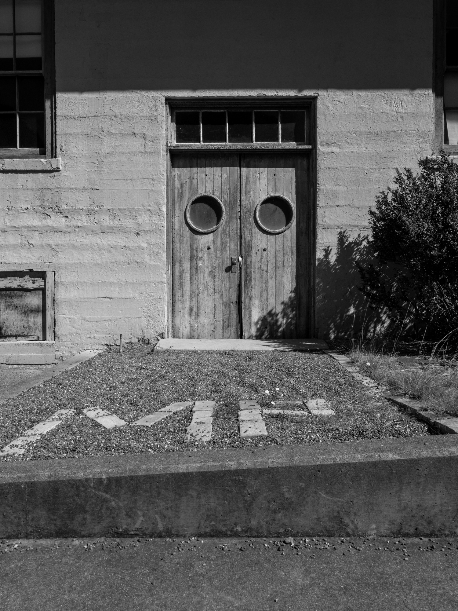
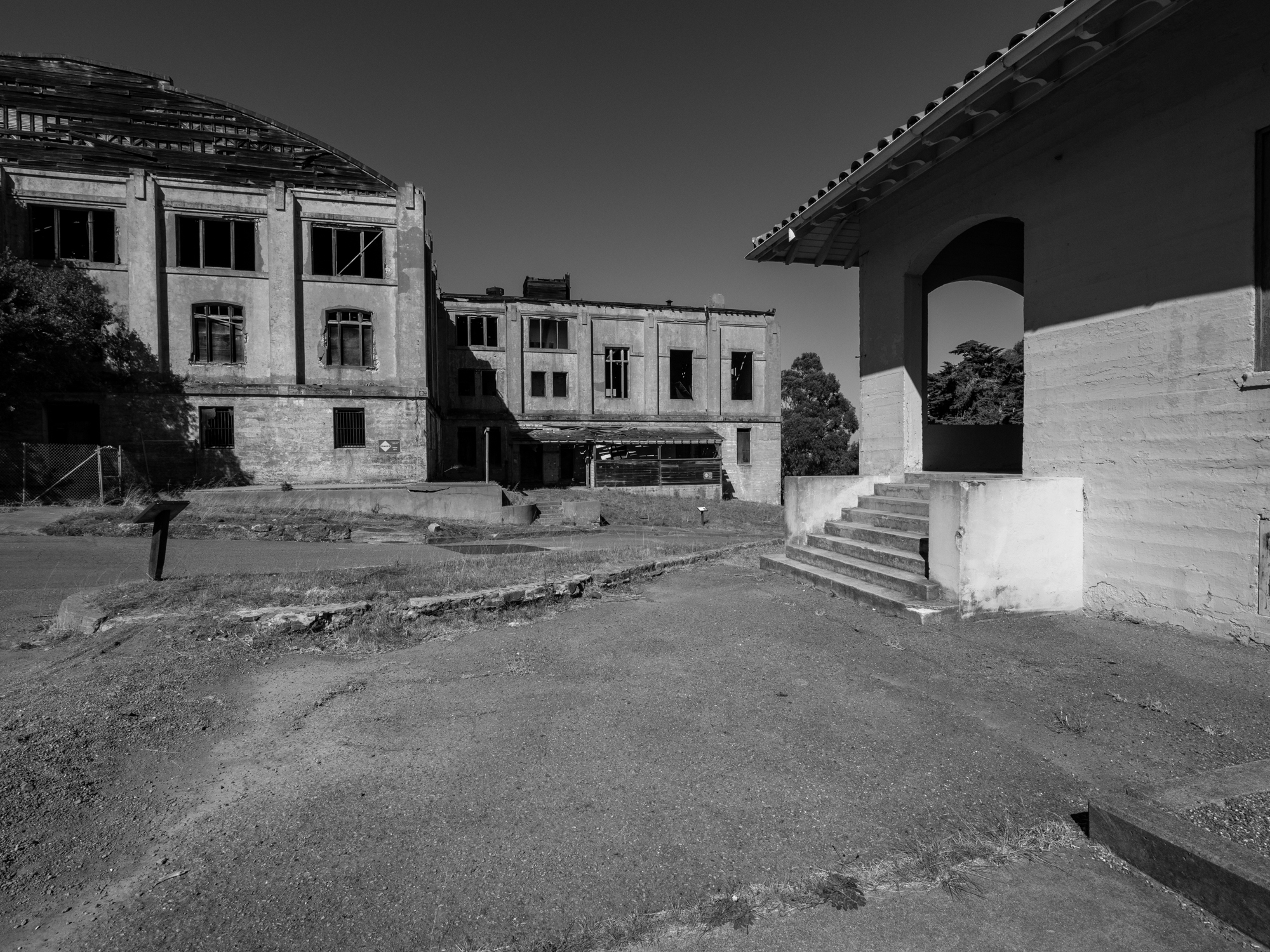
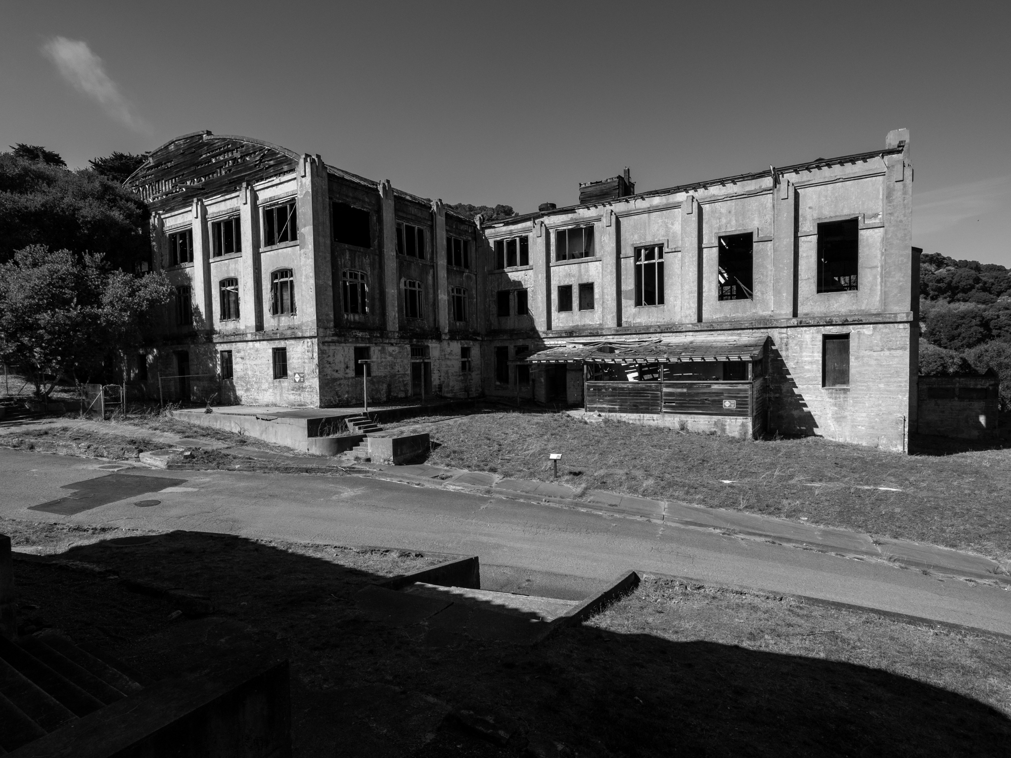
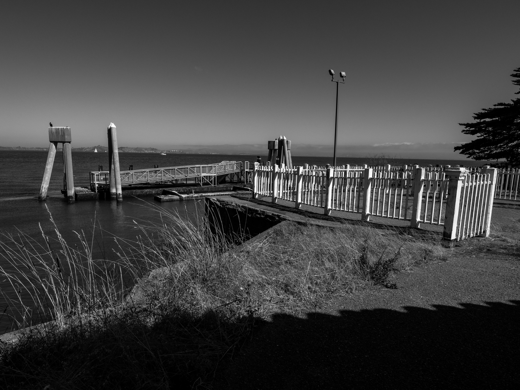
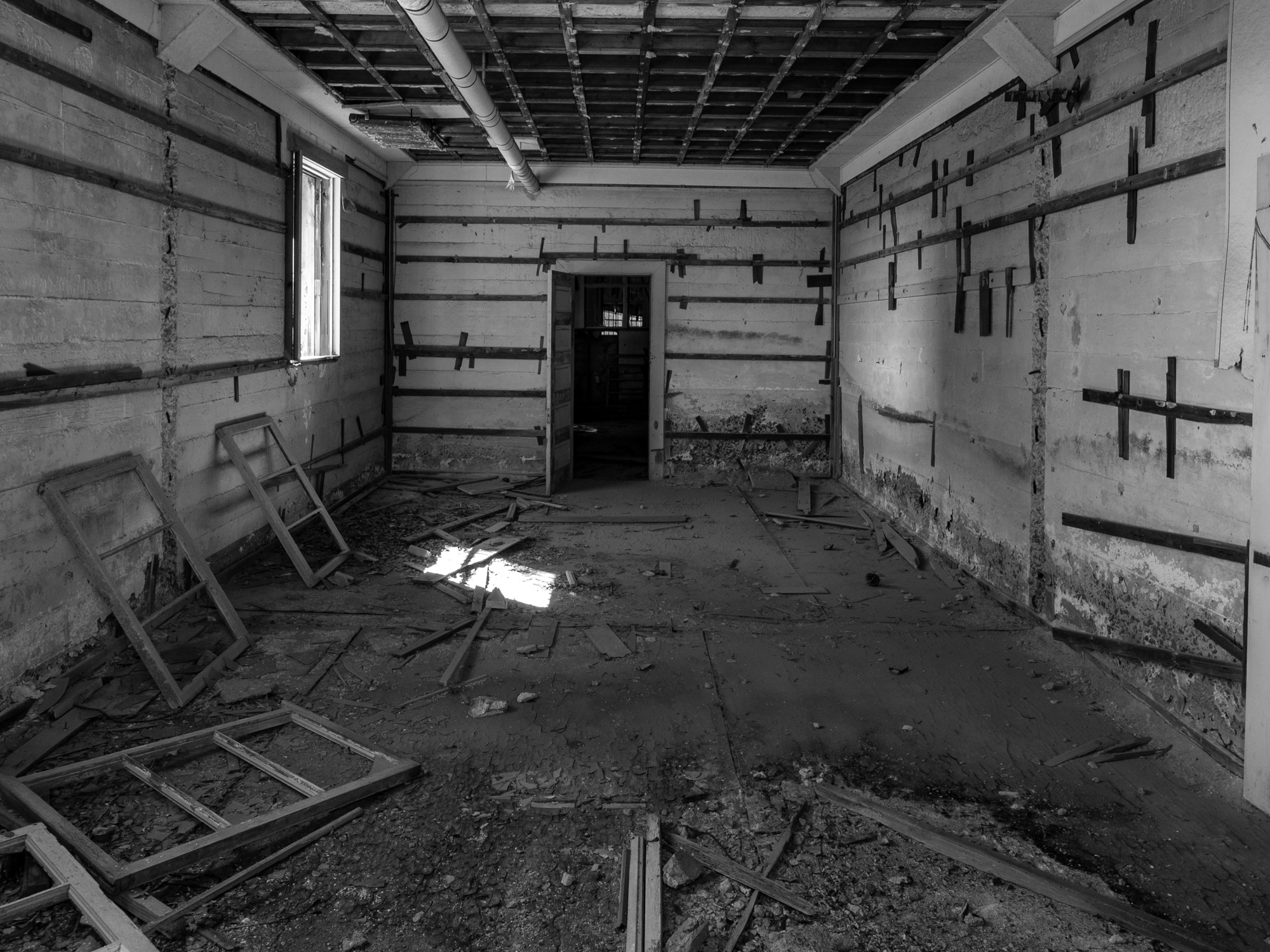
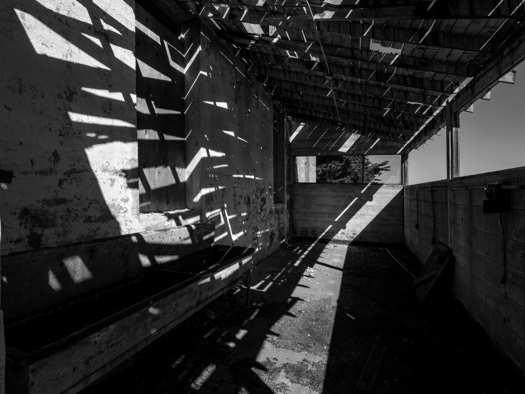
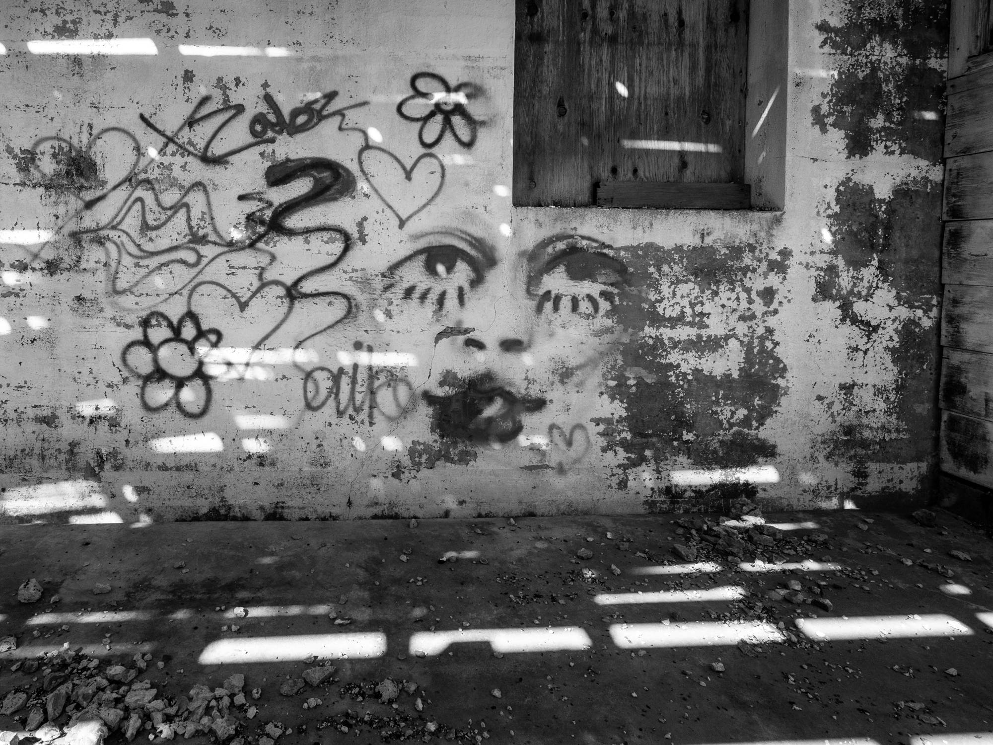
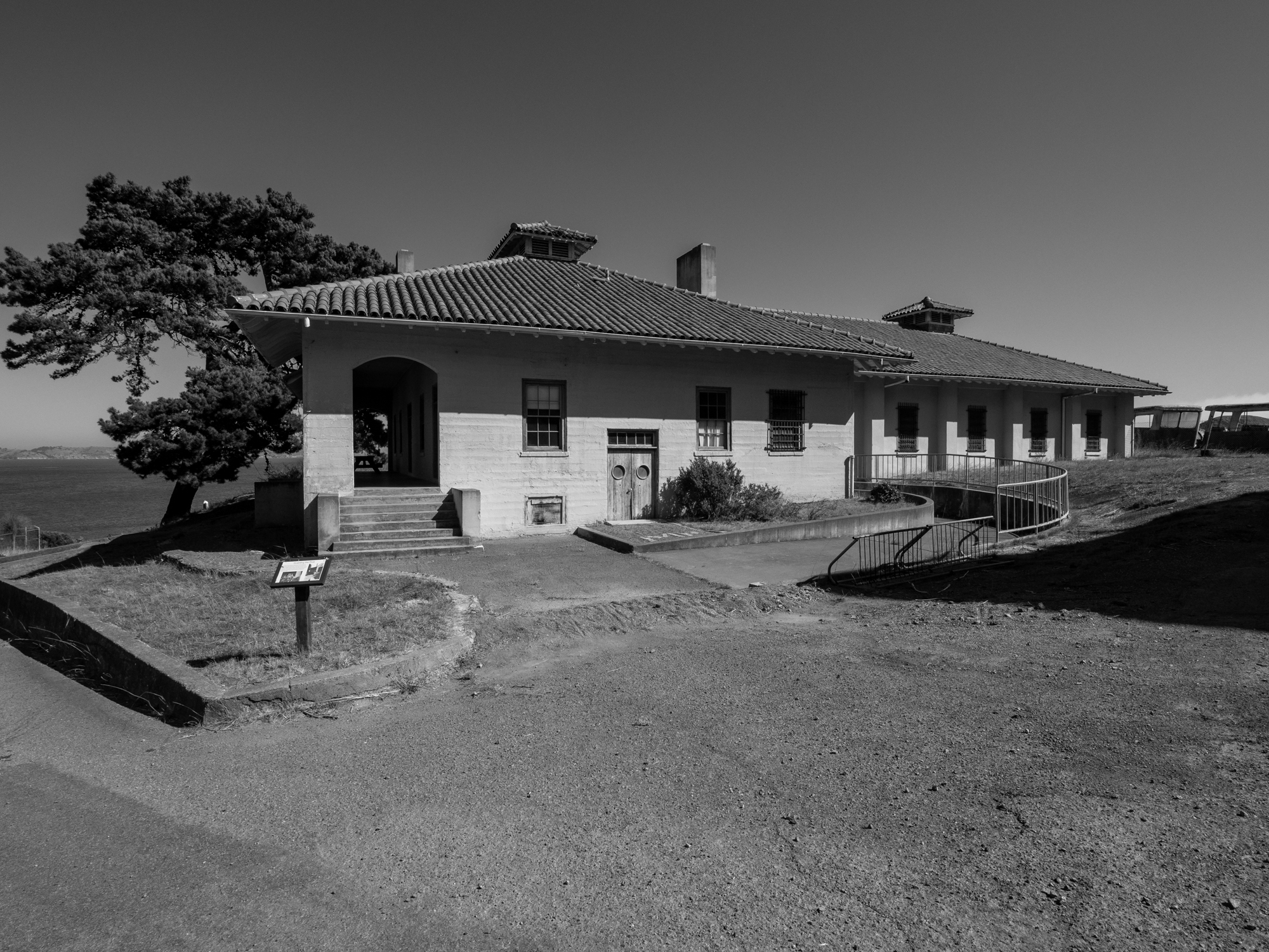
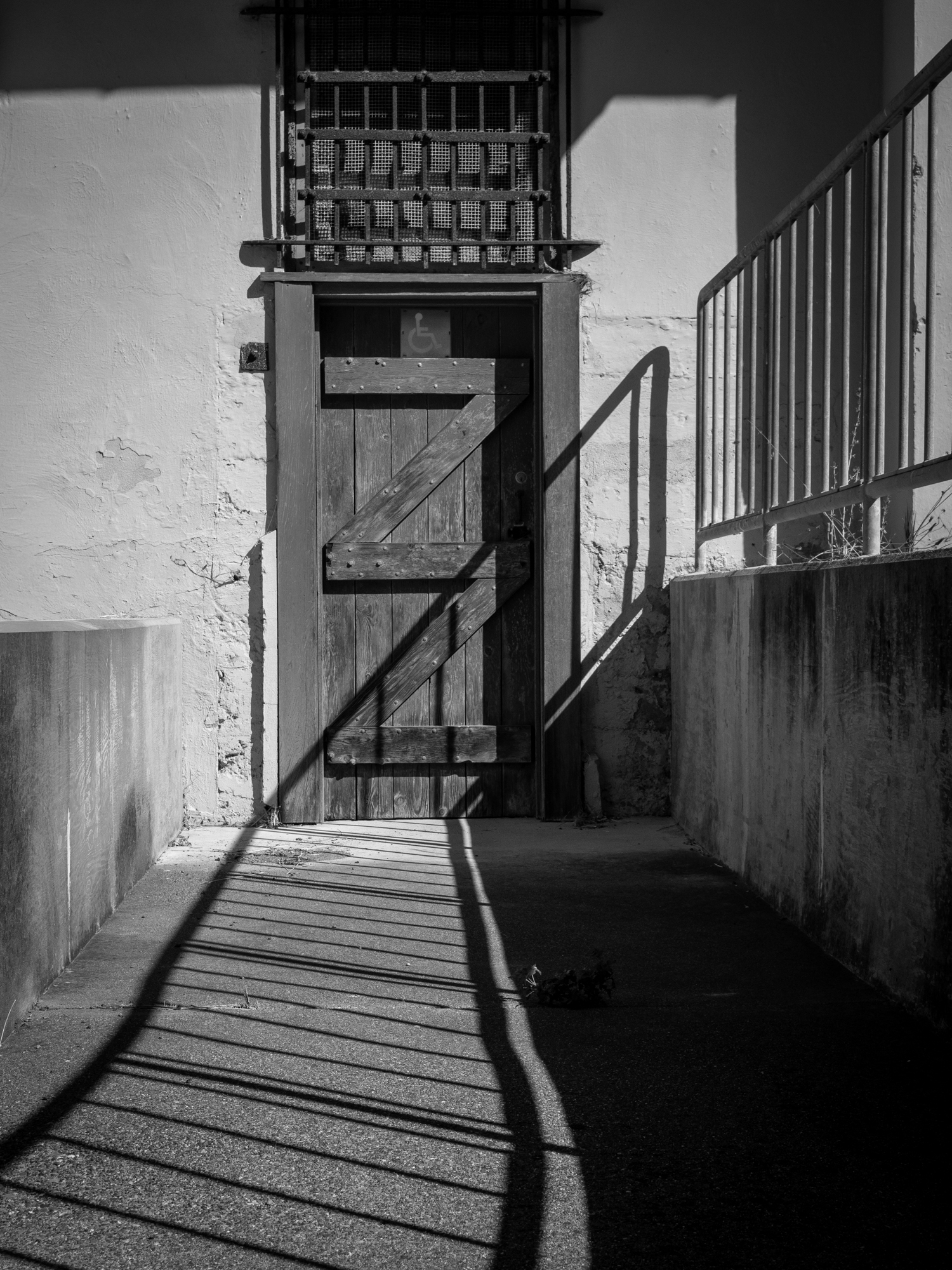
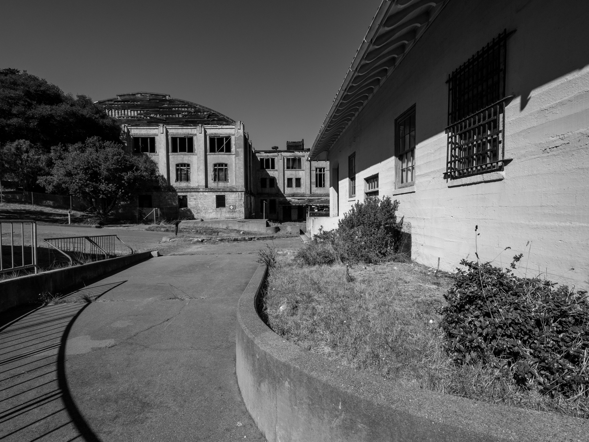
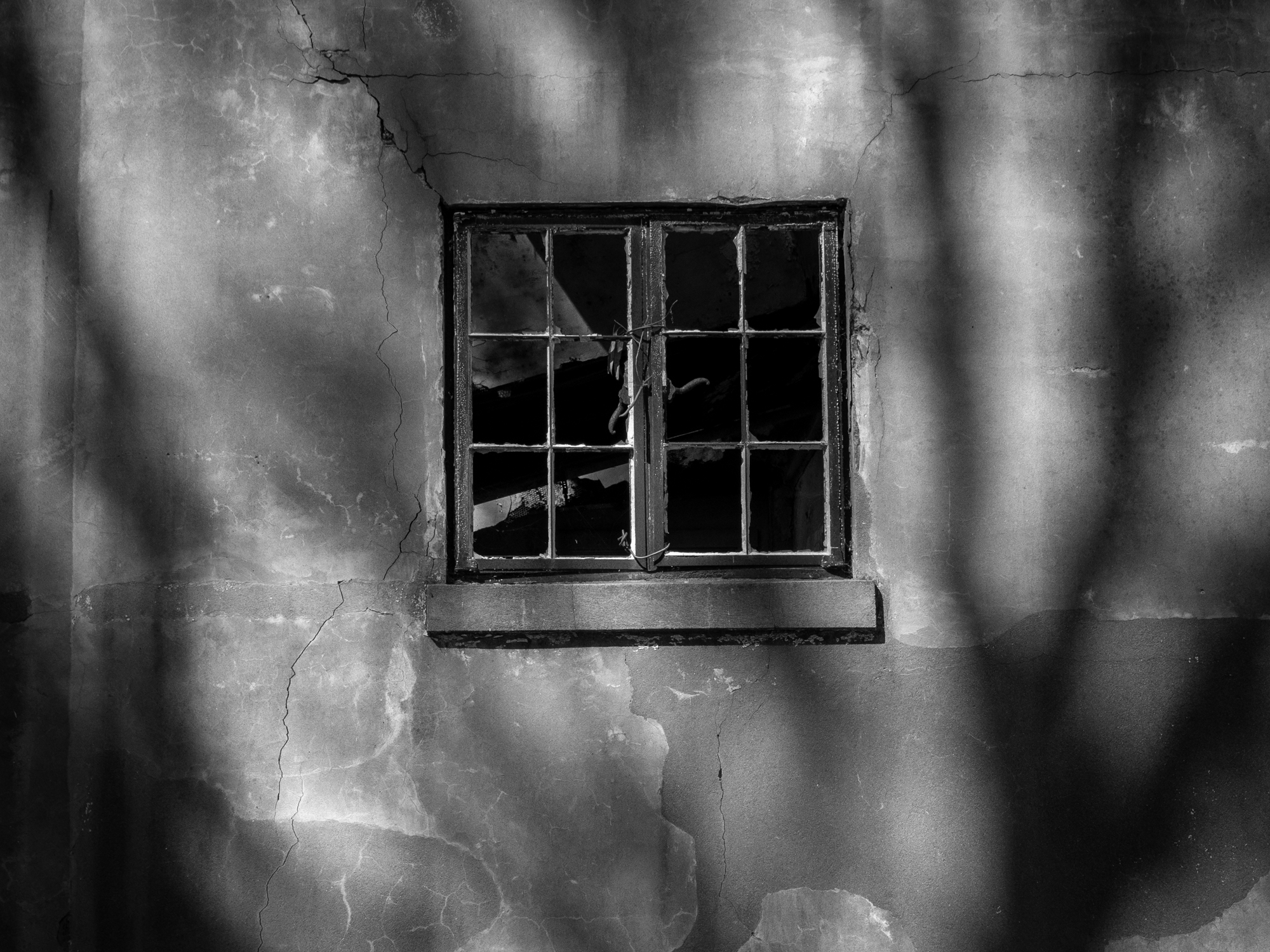
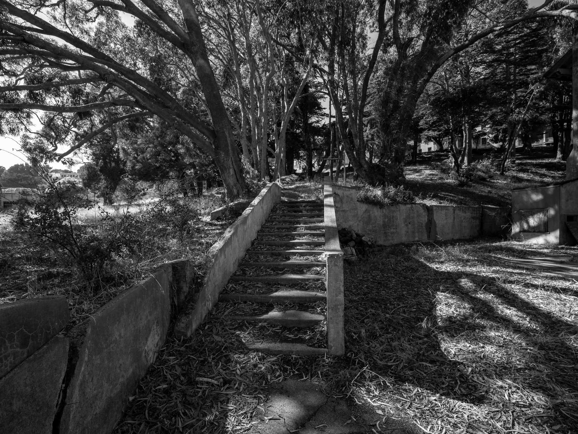
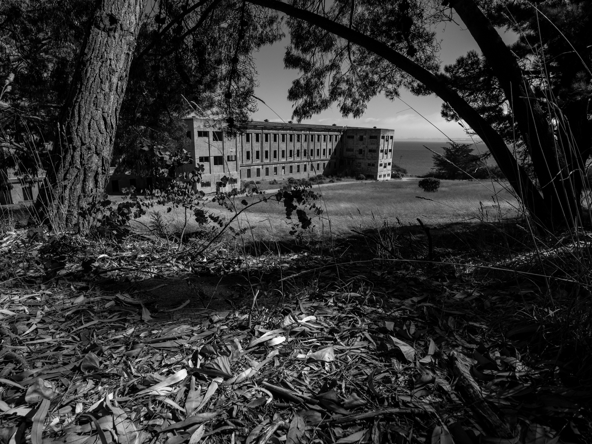
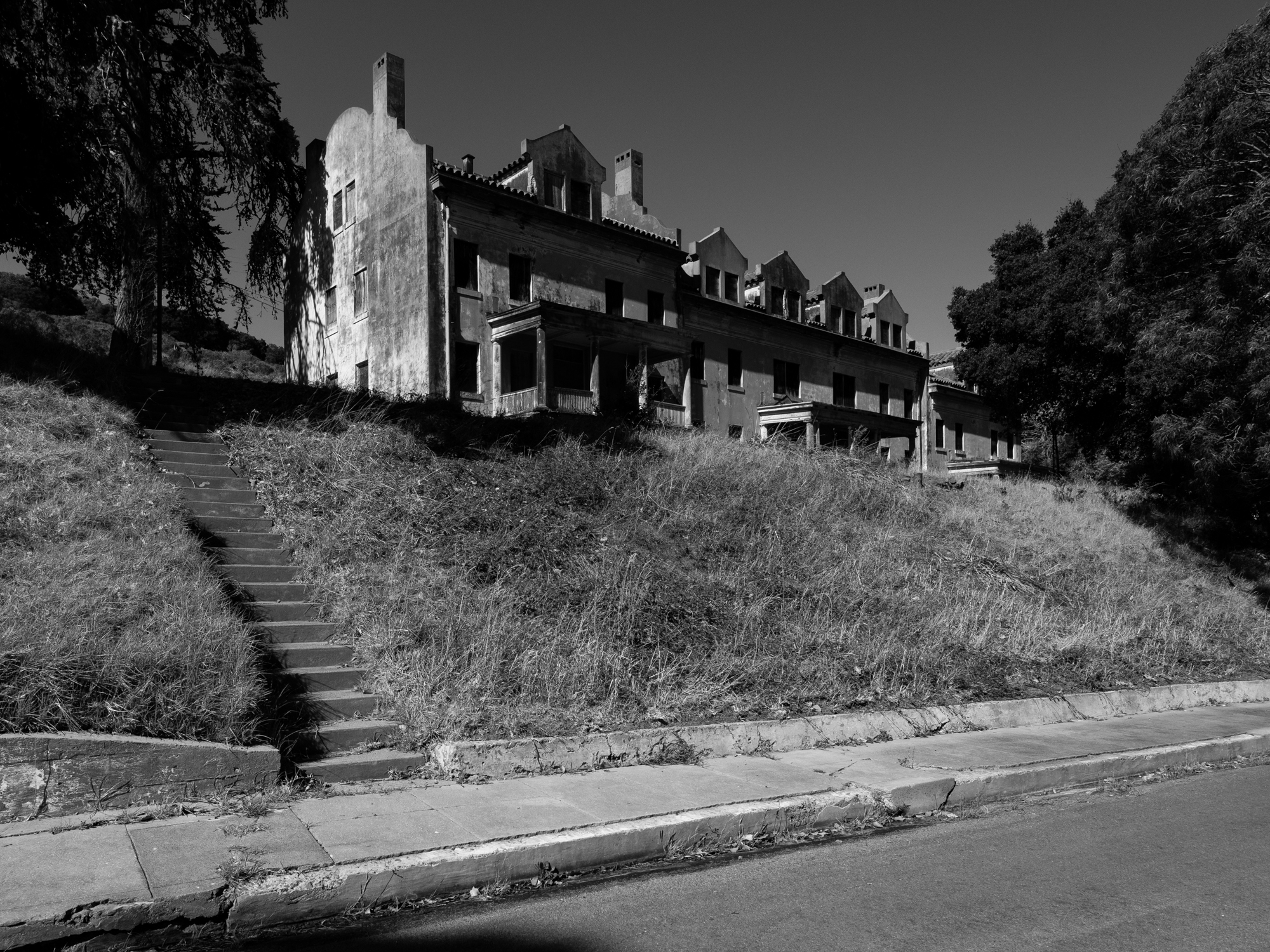
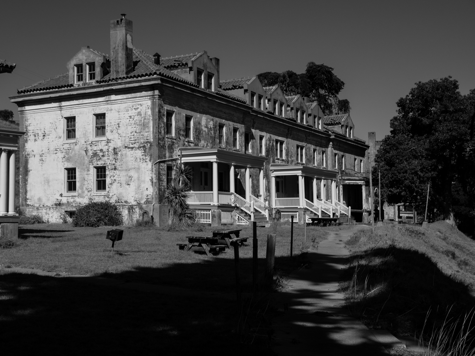
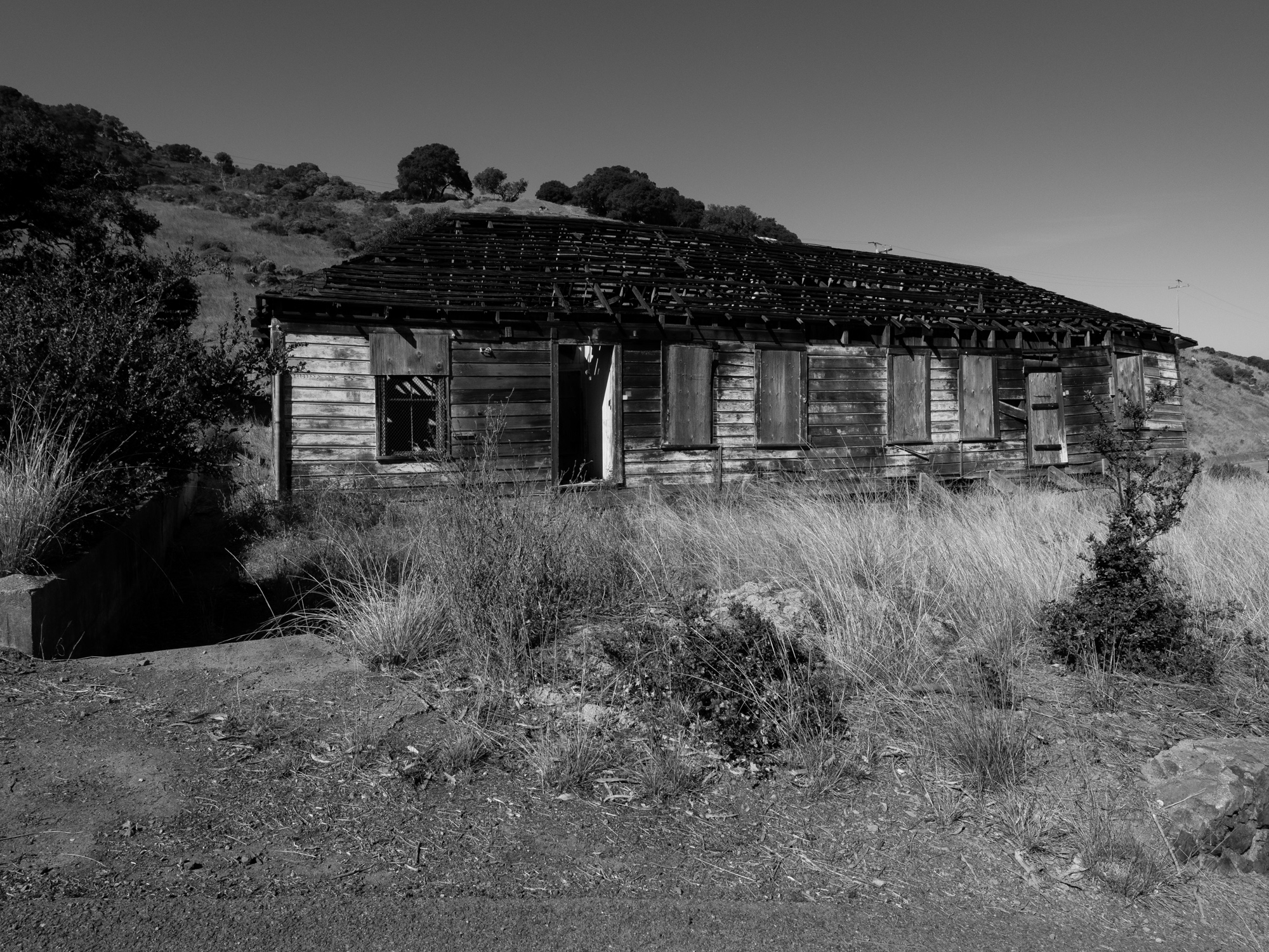
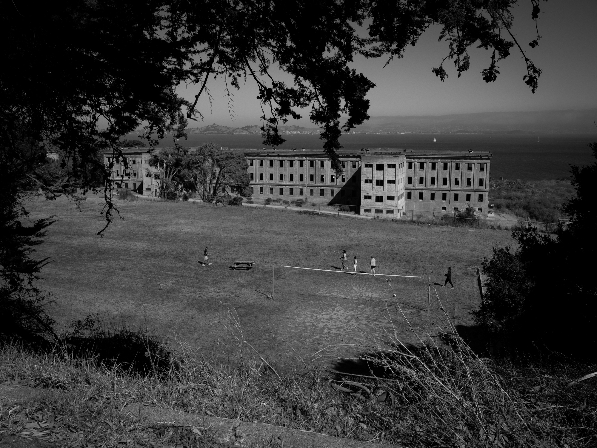
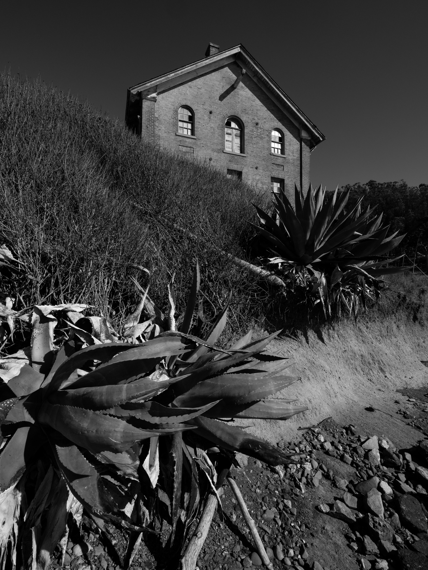
Fort McDowell became a major processing point for soldiers traveling to and from overseas service. Its barracks, hospital, and other buildings speak to the scale of that activity, but what held my attention was the quiet they have now. Windows and doorways frame other rooms, with distant patches of light pulling the eye farther into the empty spaces. In black and white, the architecture becomes a study of light, shadow, and the unanswered question of what lies around the next corner. These are the spaces that keep drawing me back to buildings after their original purpose has faded.

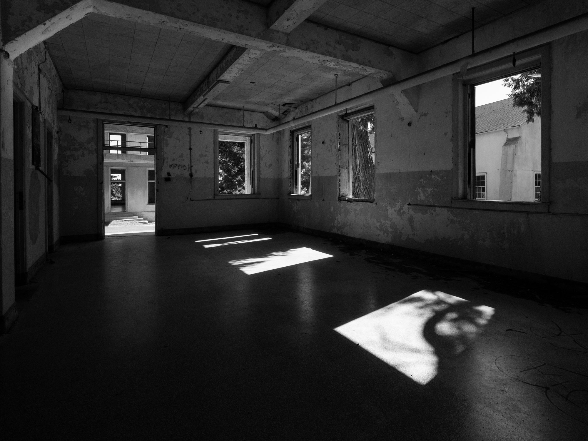
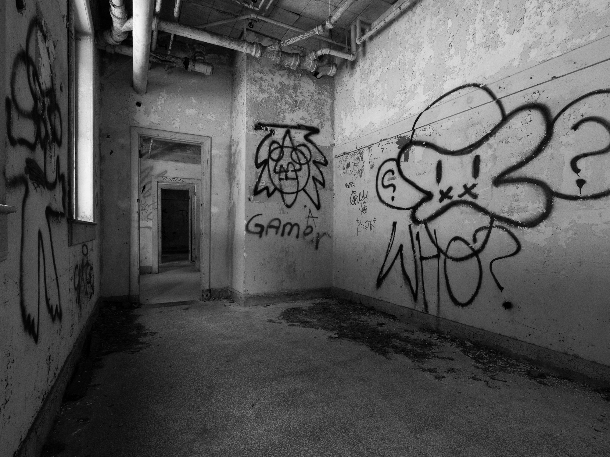
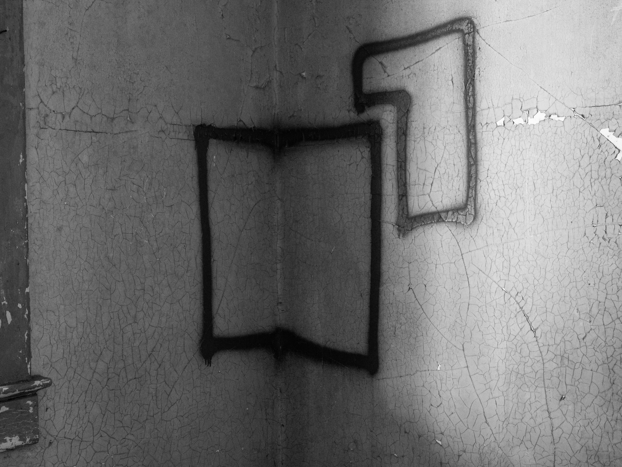
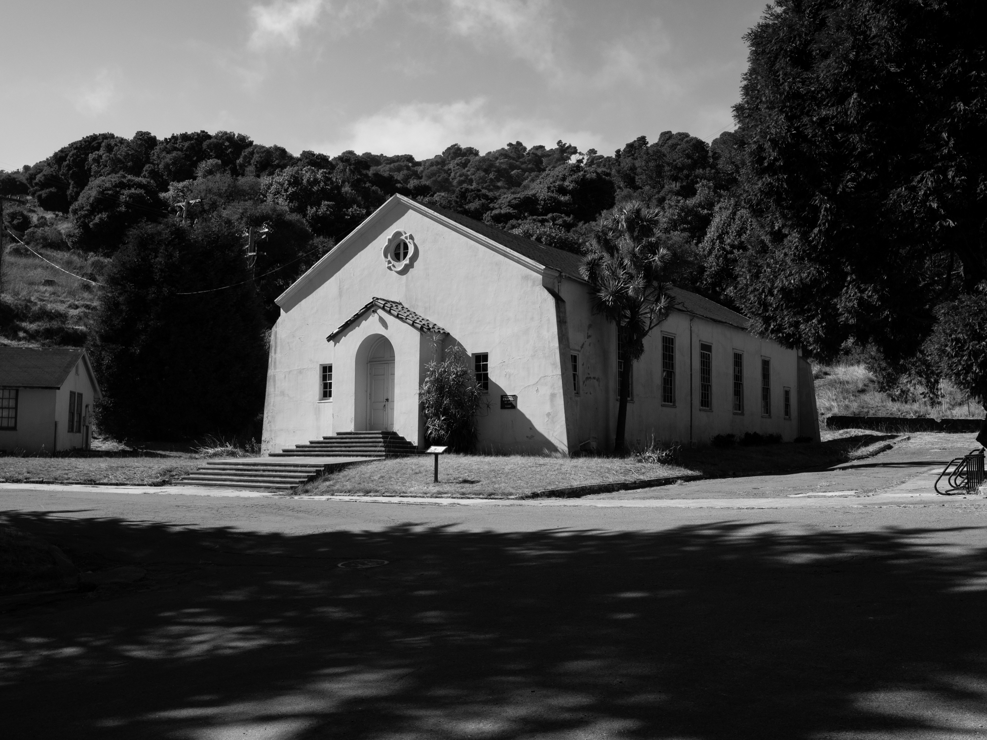
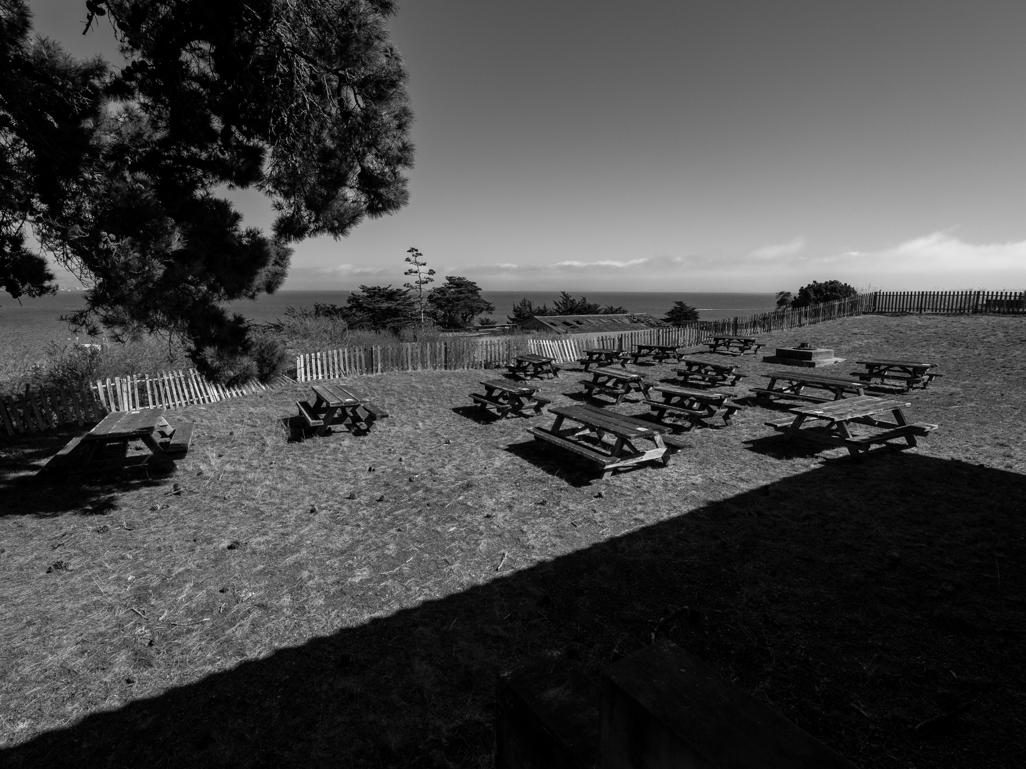
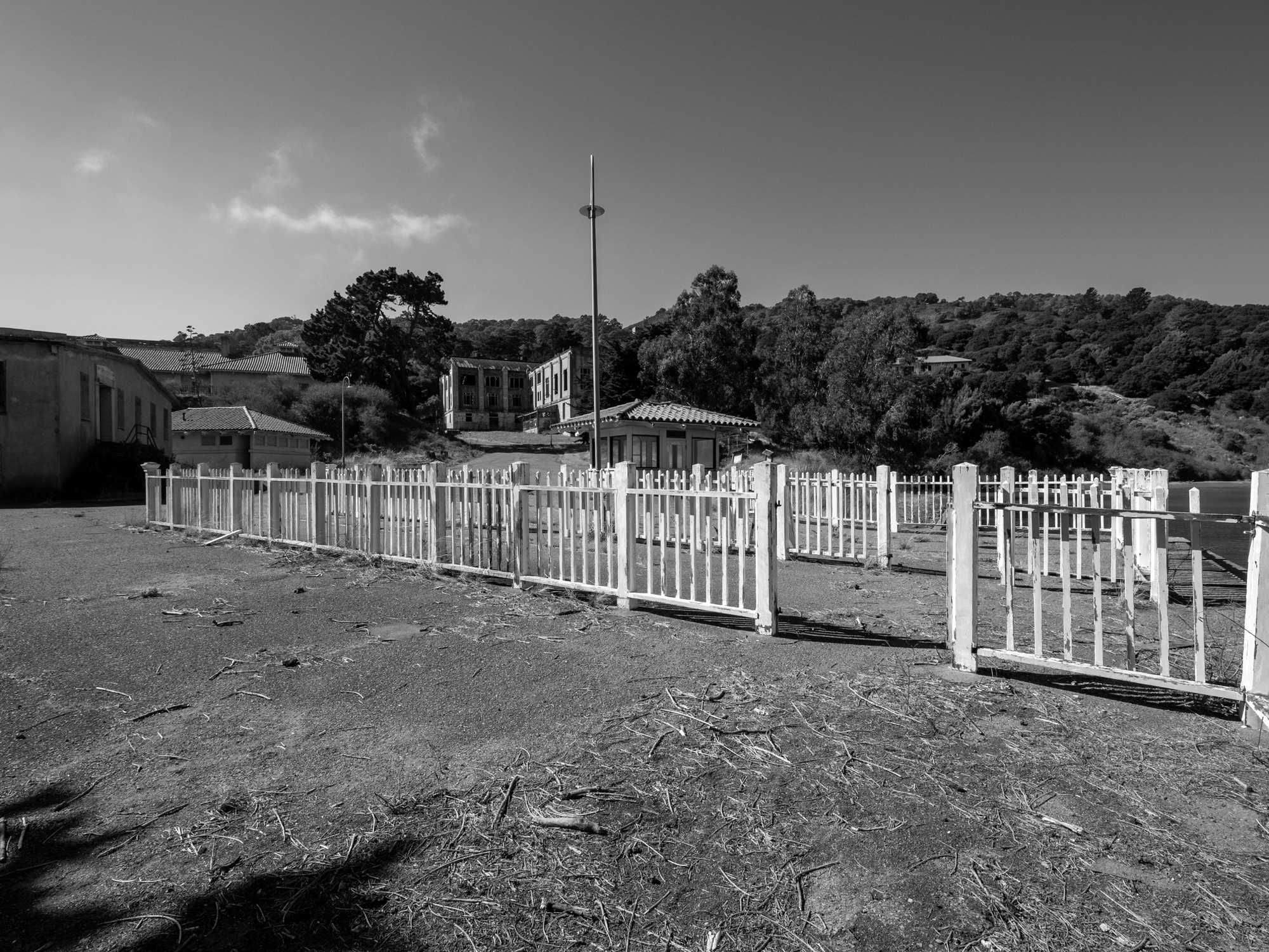
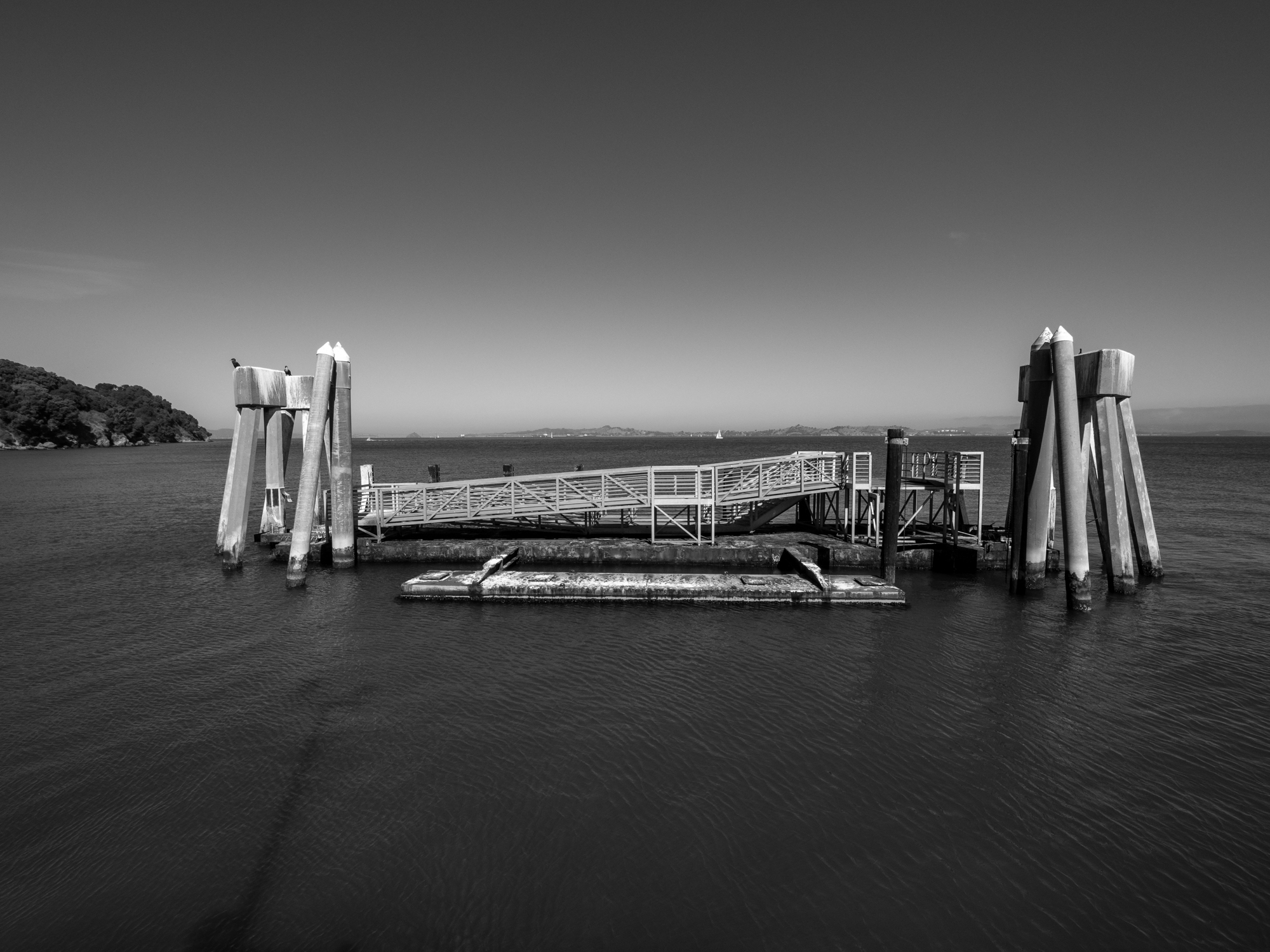
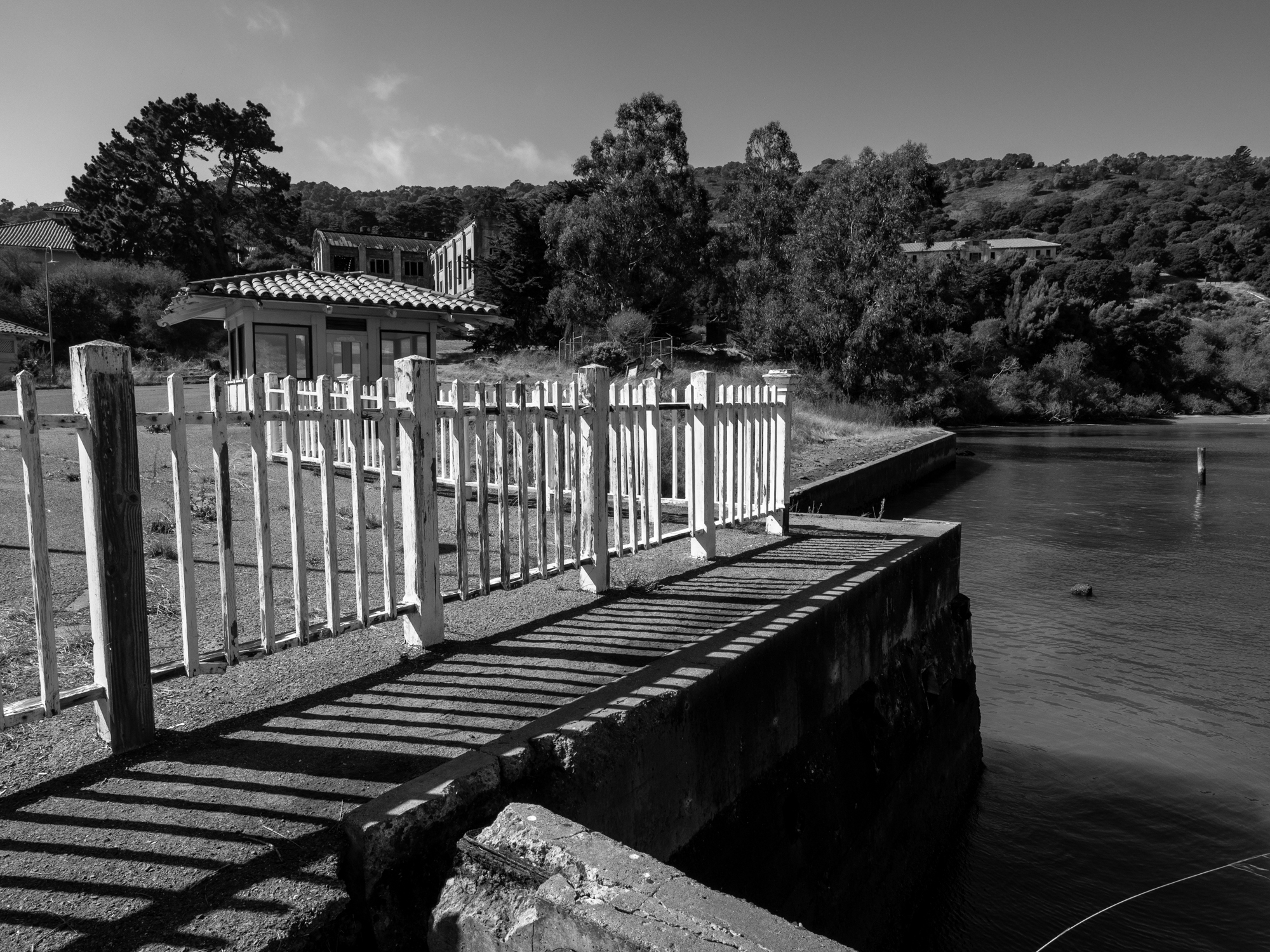
The Southern Shore and Battery Ledyard
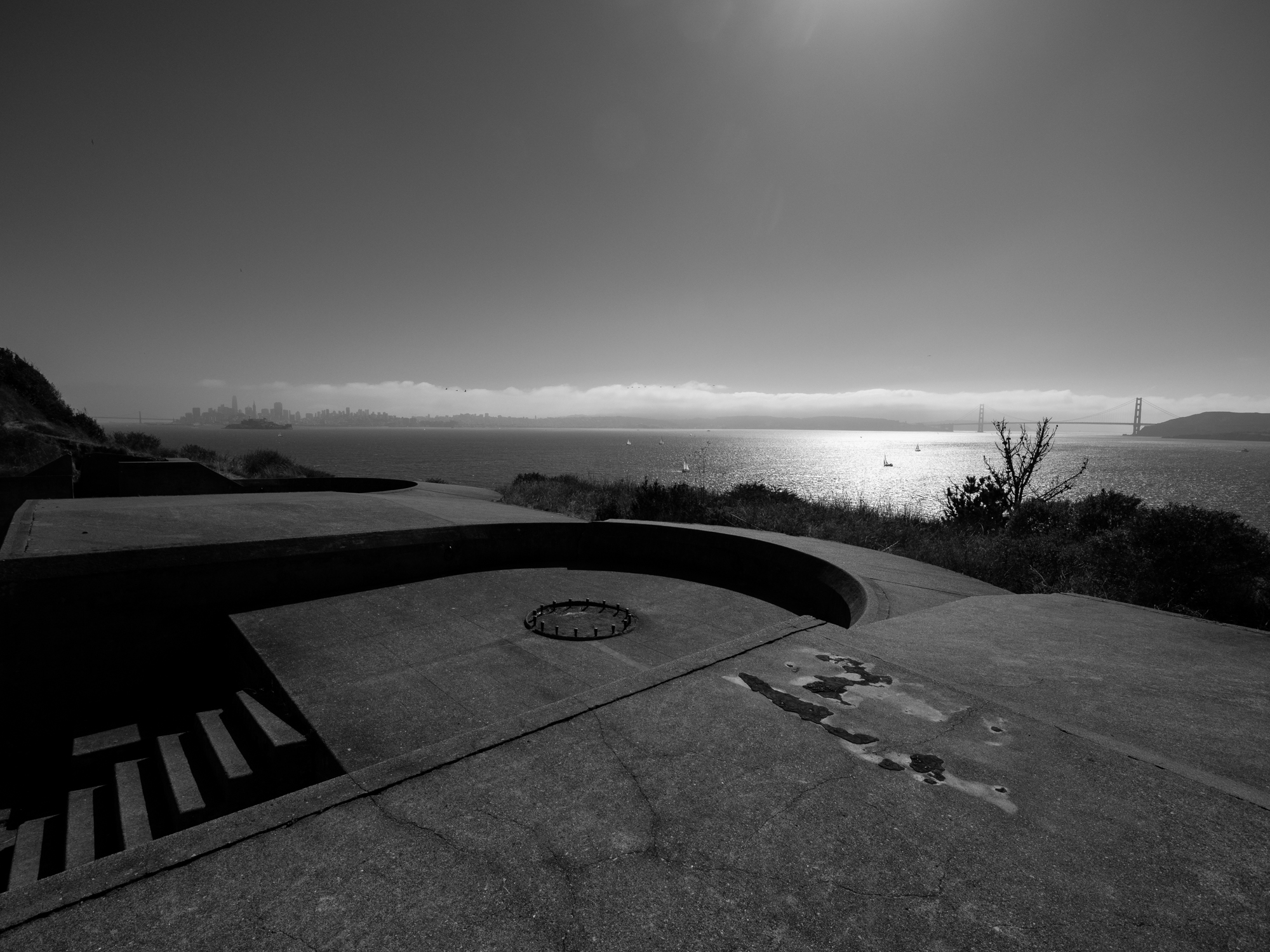
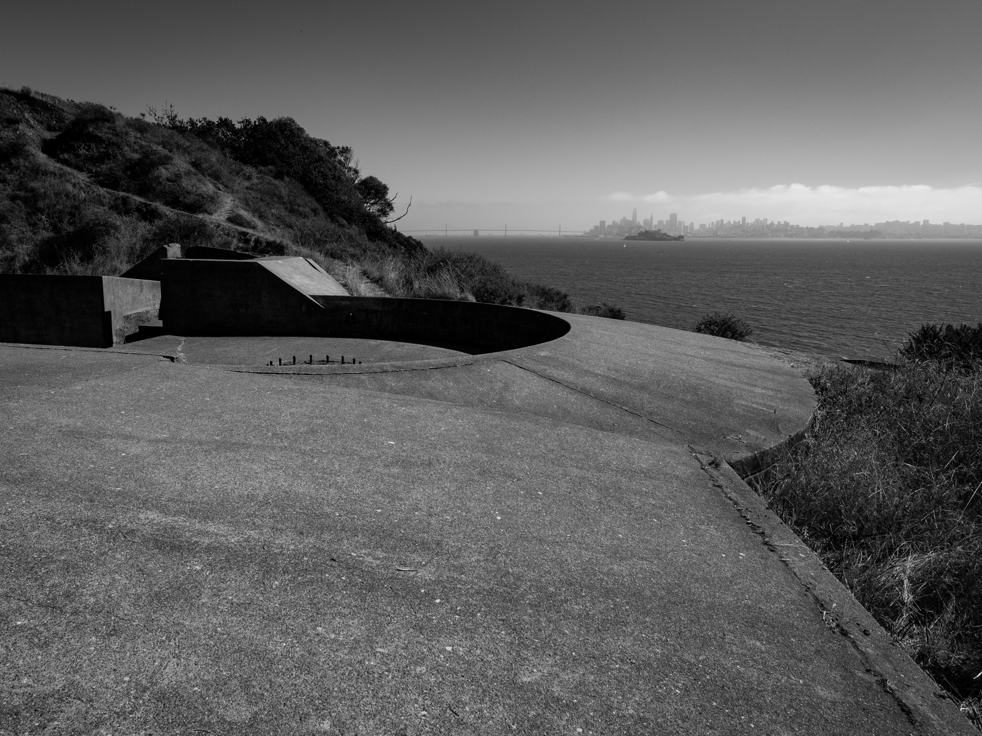
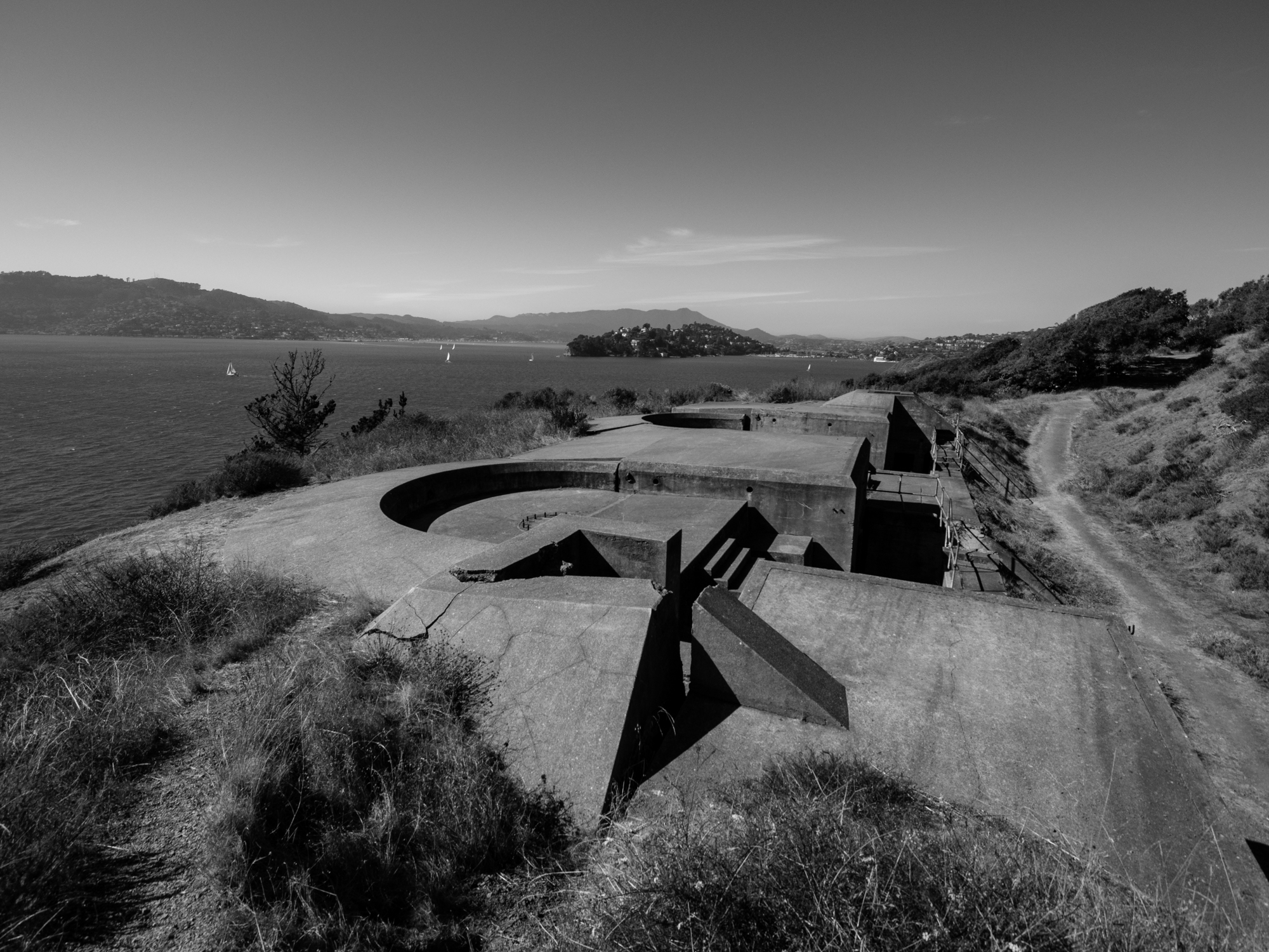
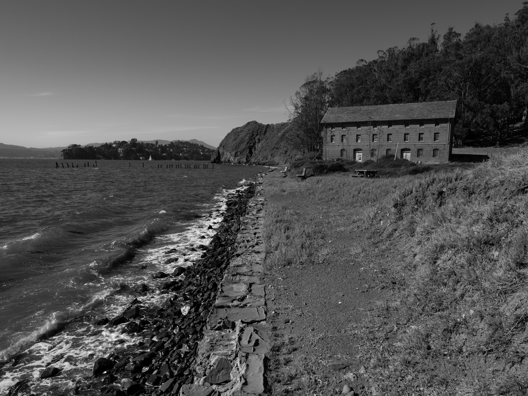
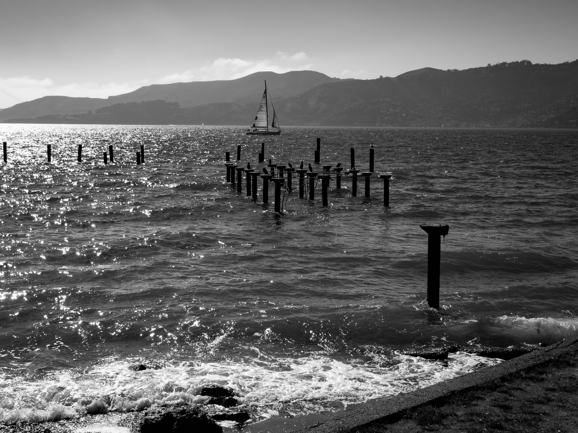
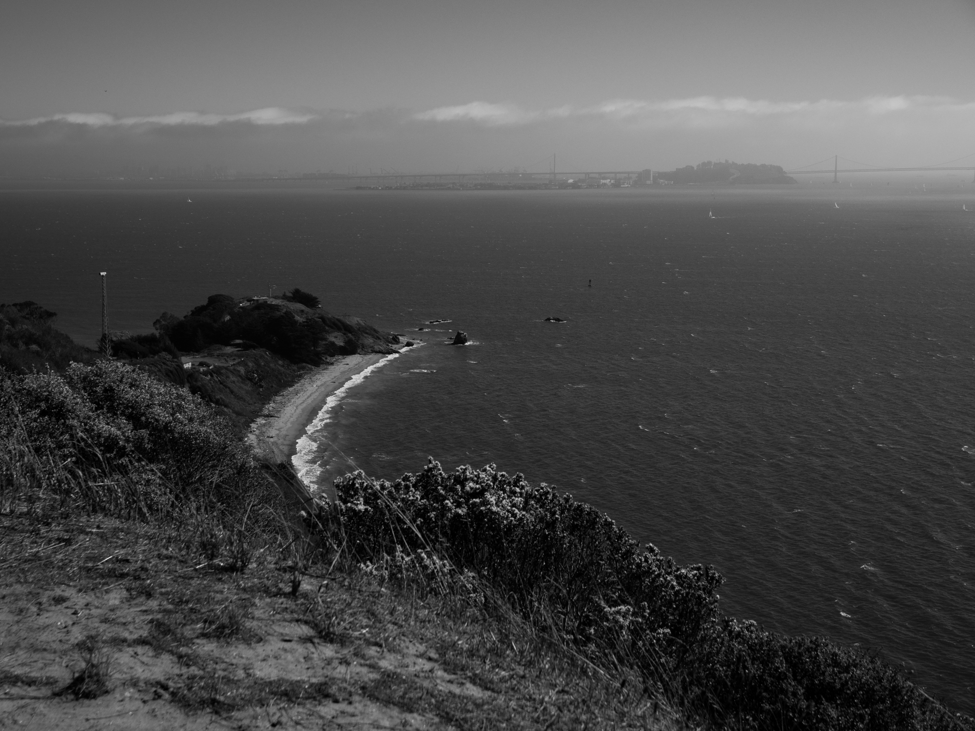
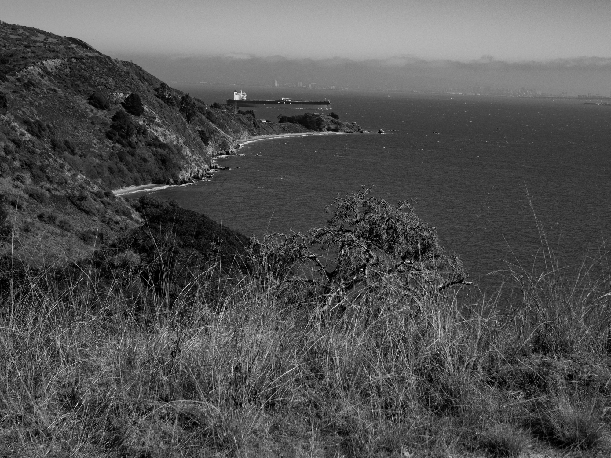
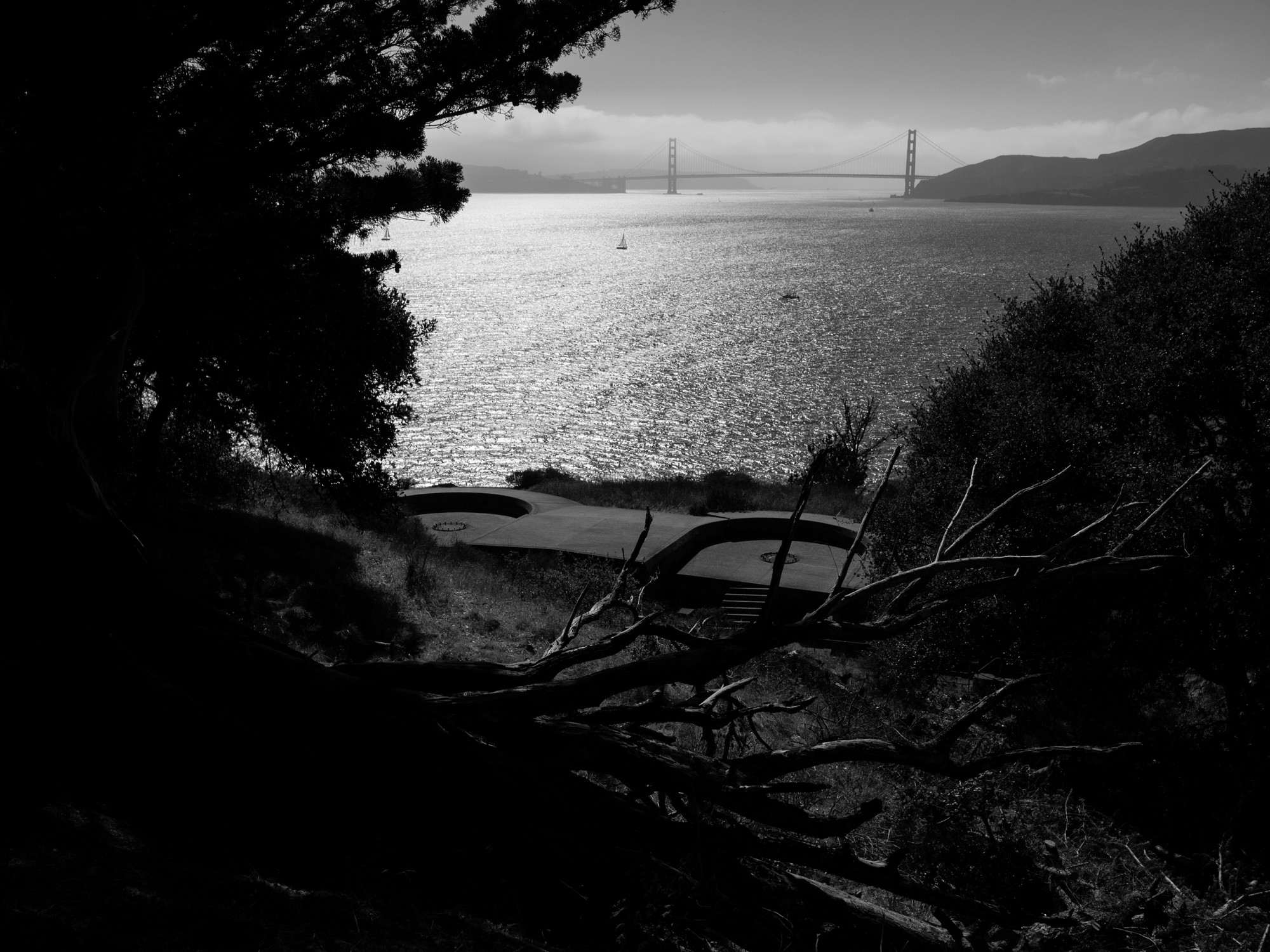
Continuing around the southern shore, the landscape opened up and the bay came back into view. Battery Ledyard belongs to an earlier system of defenses overlooking the Golden Gate; the island’s military history later extended into the Cold War with a Nike missile site. The remaining concrete structures interrupt the open landscape, reminders of how differently this same stretch of shoreline was once understood. I found myself moving between the forms of the old defenses and the light beyond them.
Camp Reynolds — West Garrison
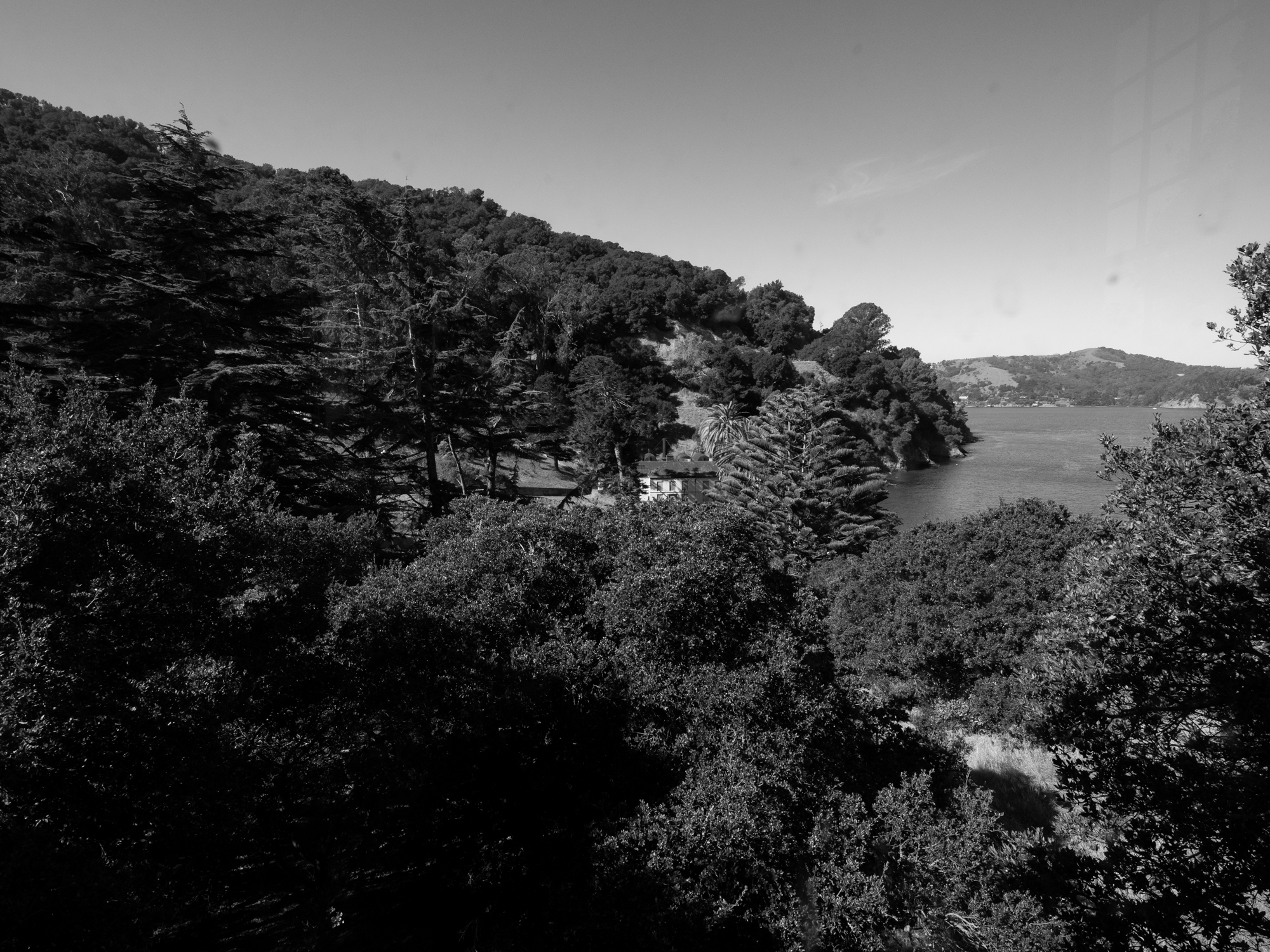
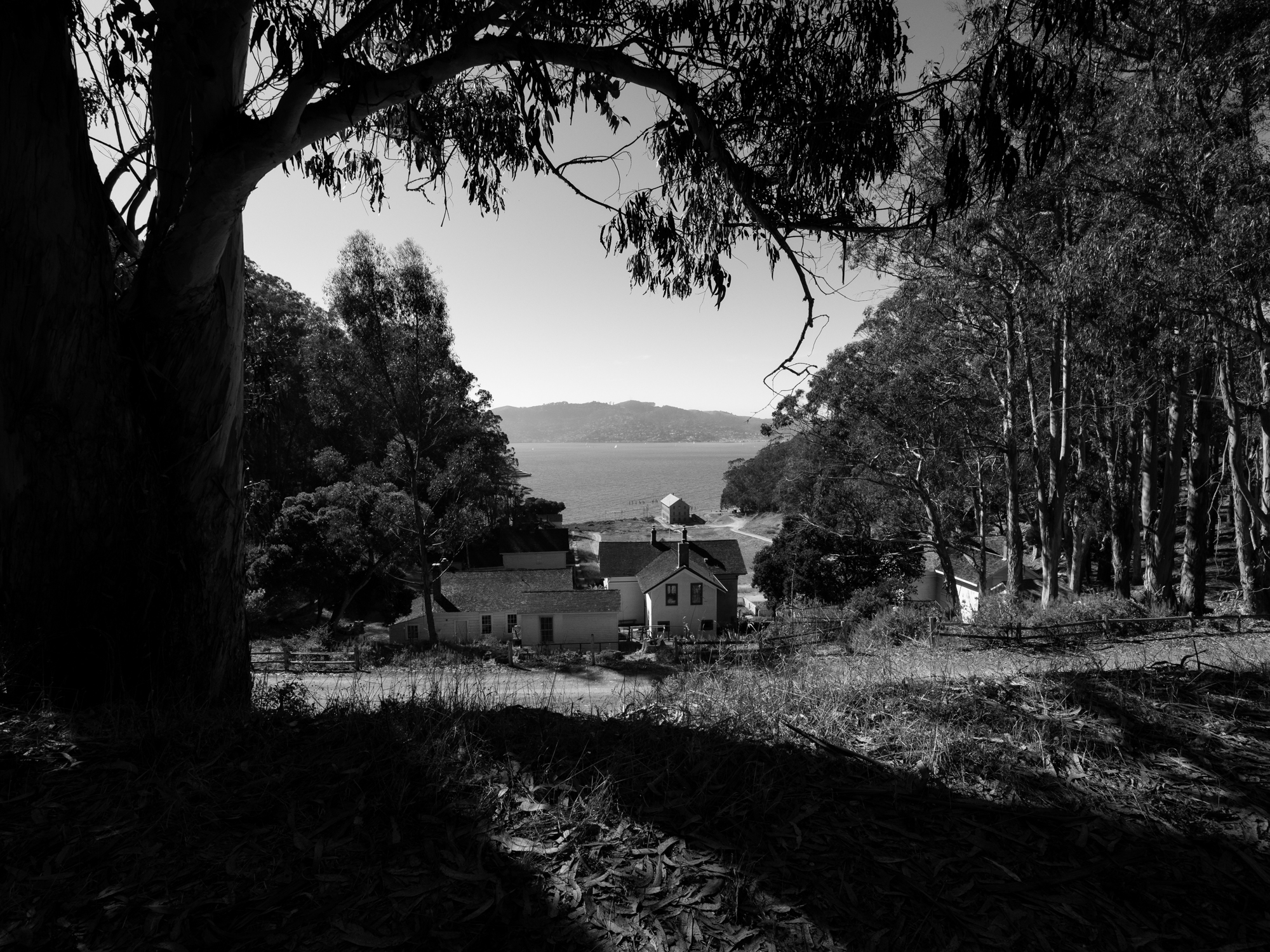
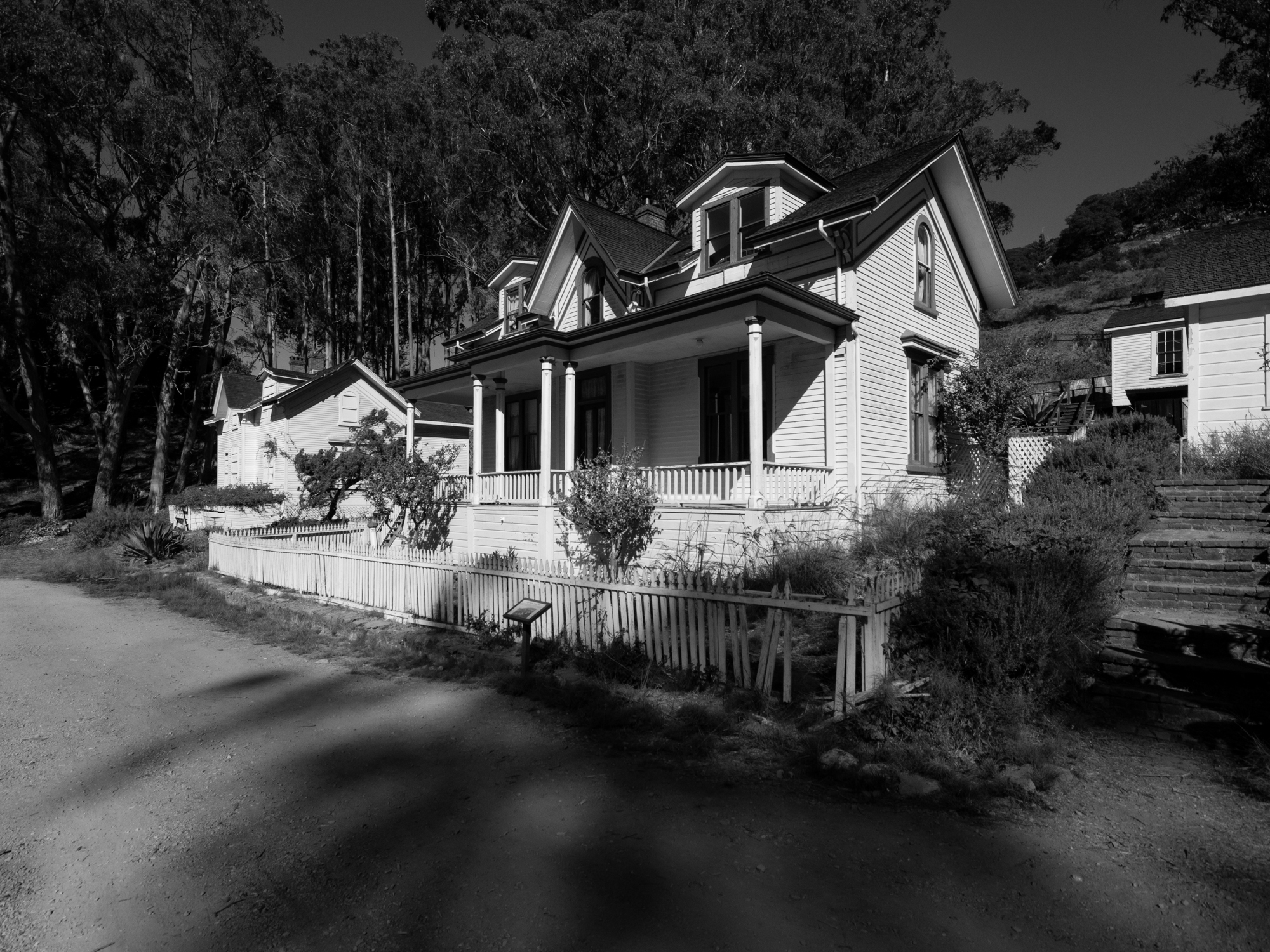
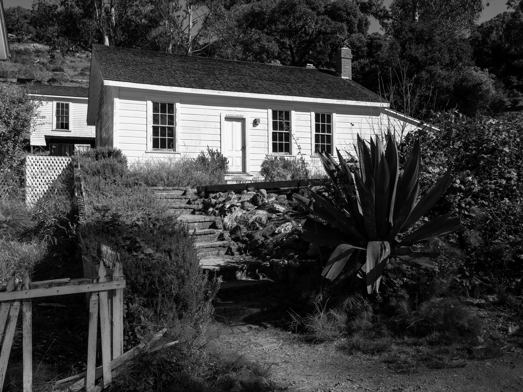
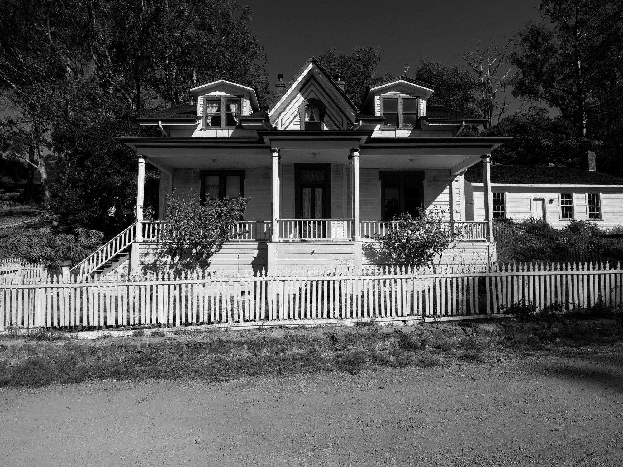
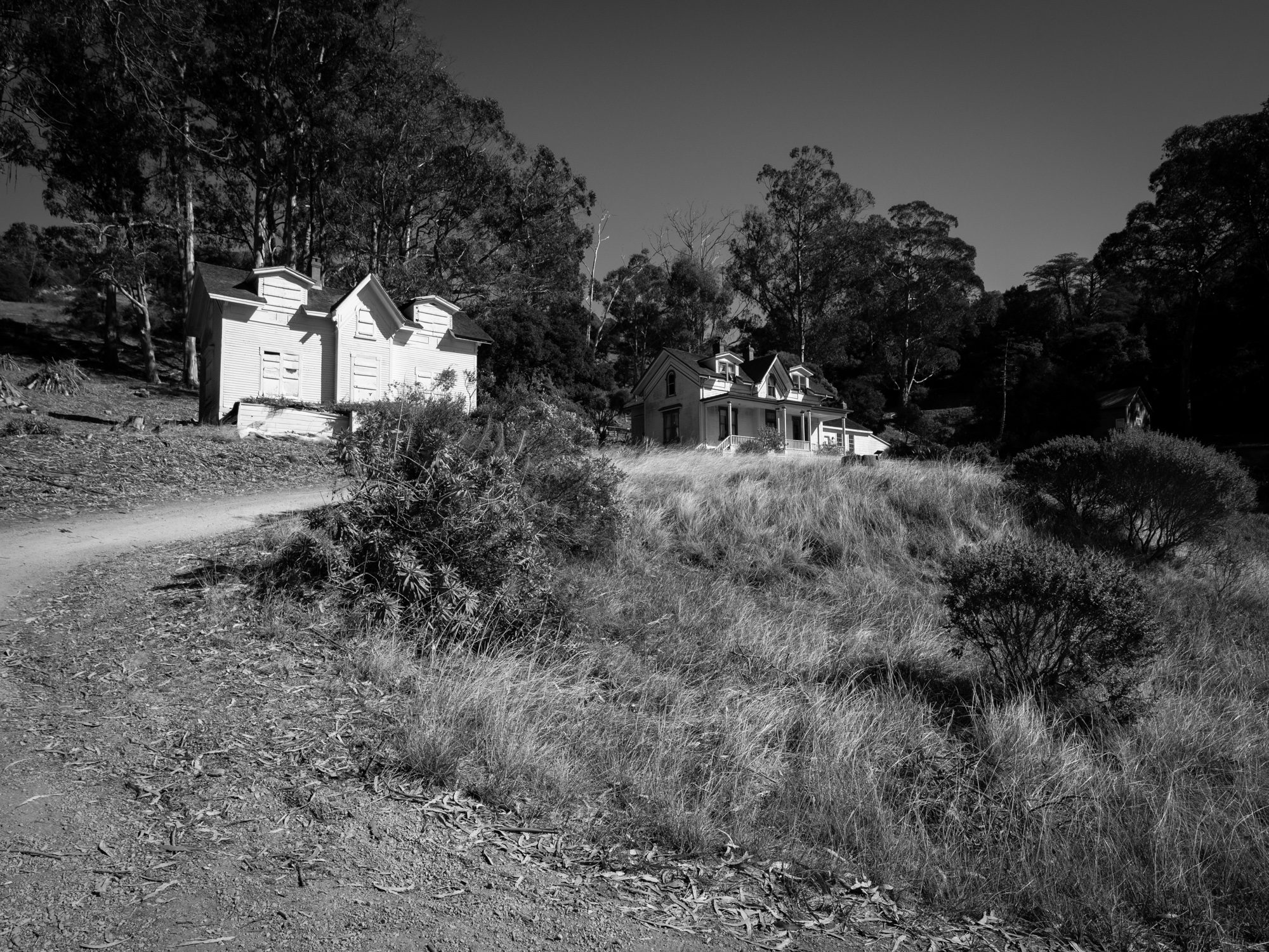
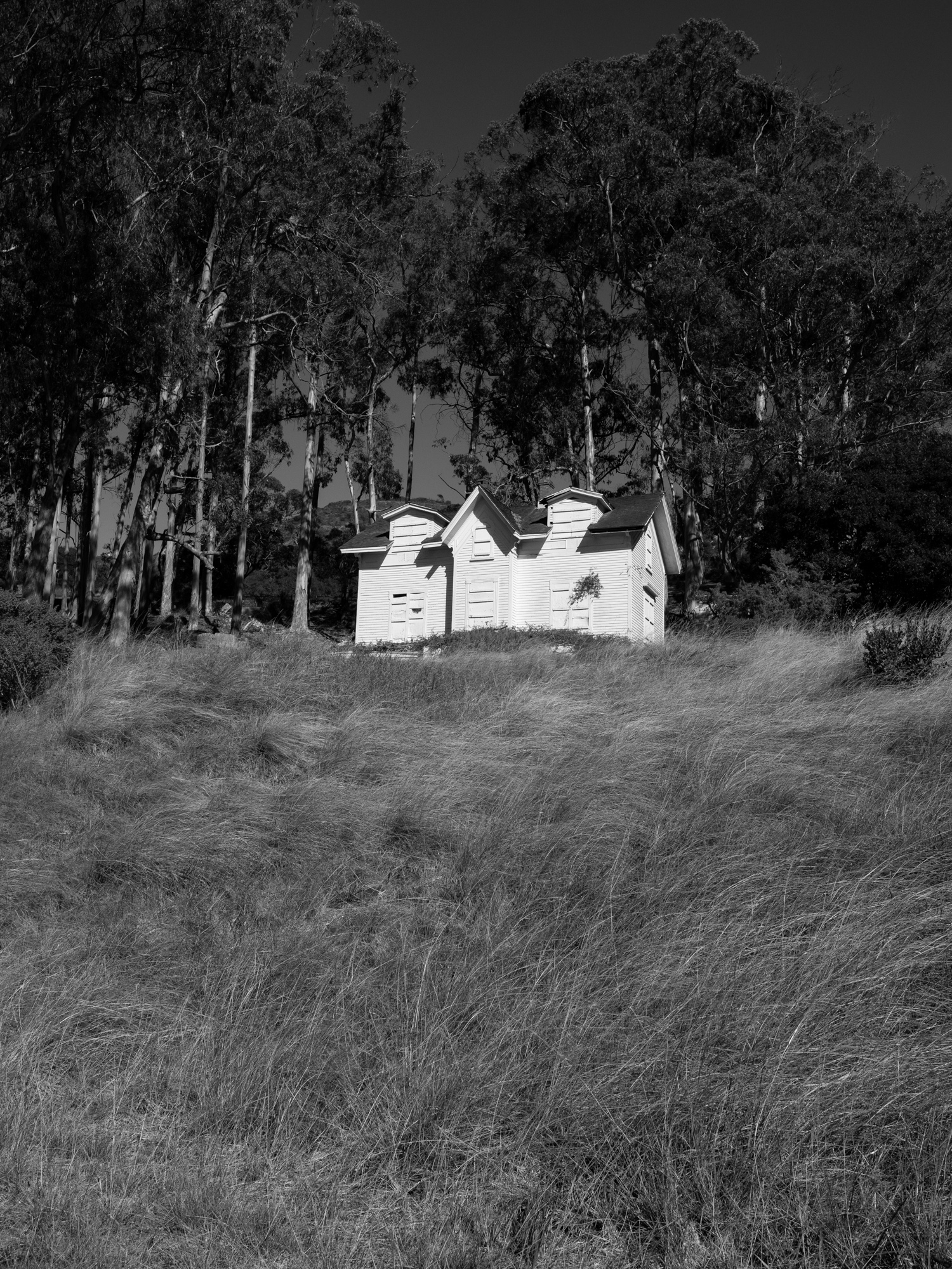
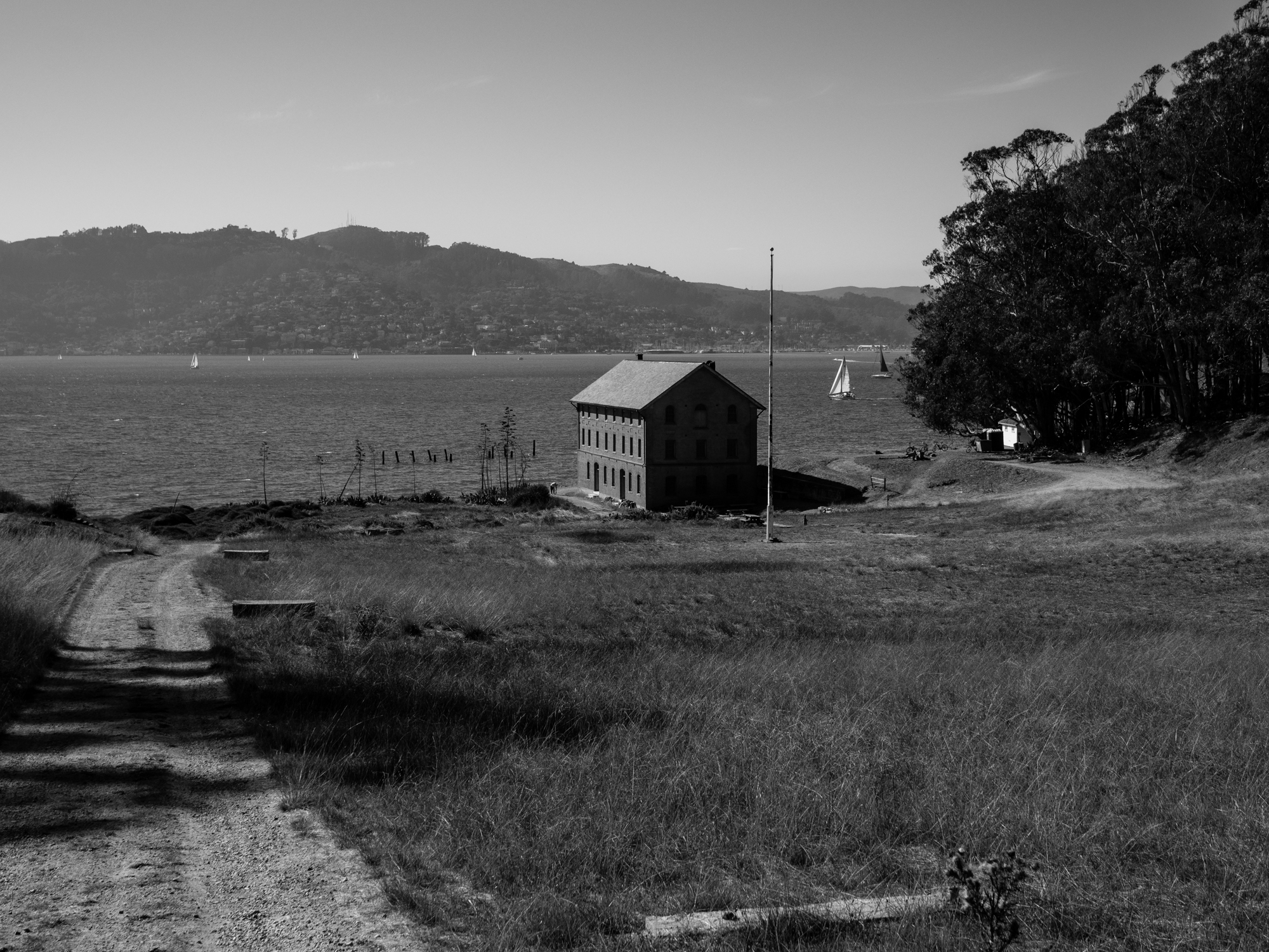
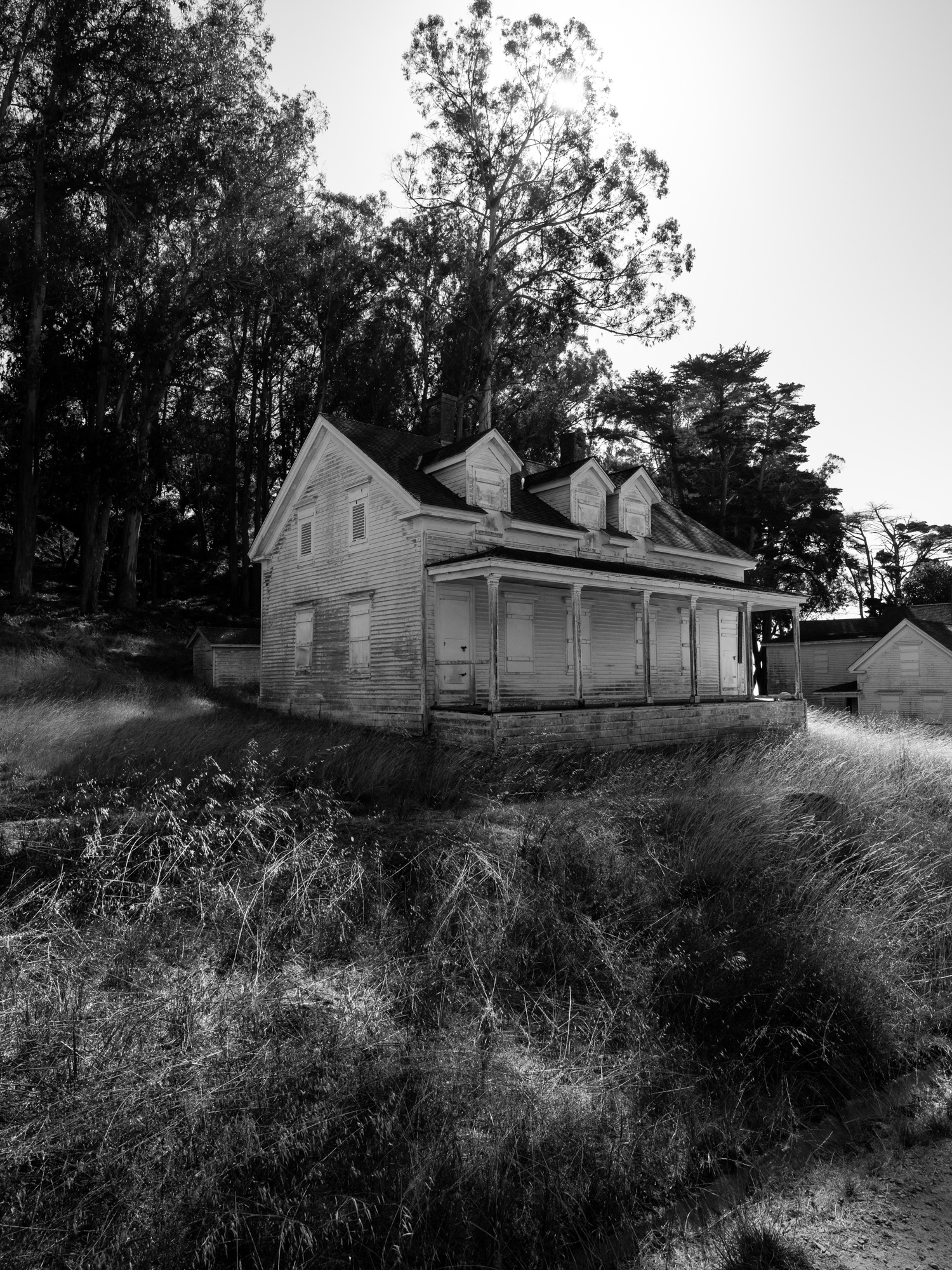
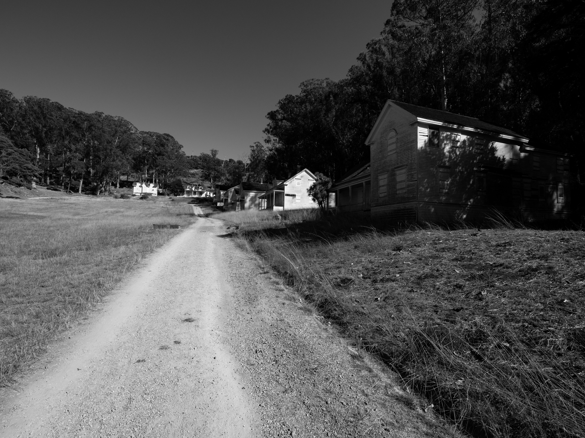
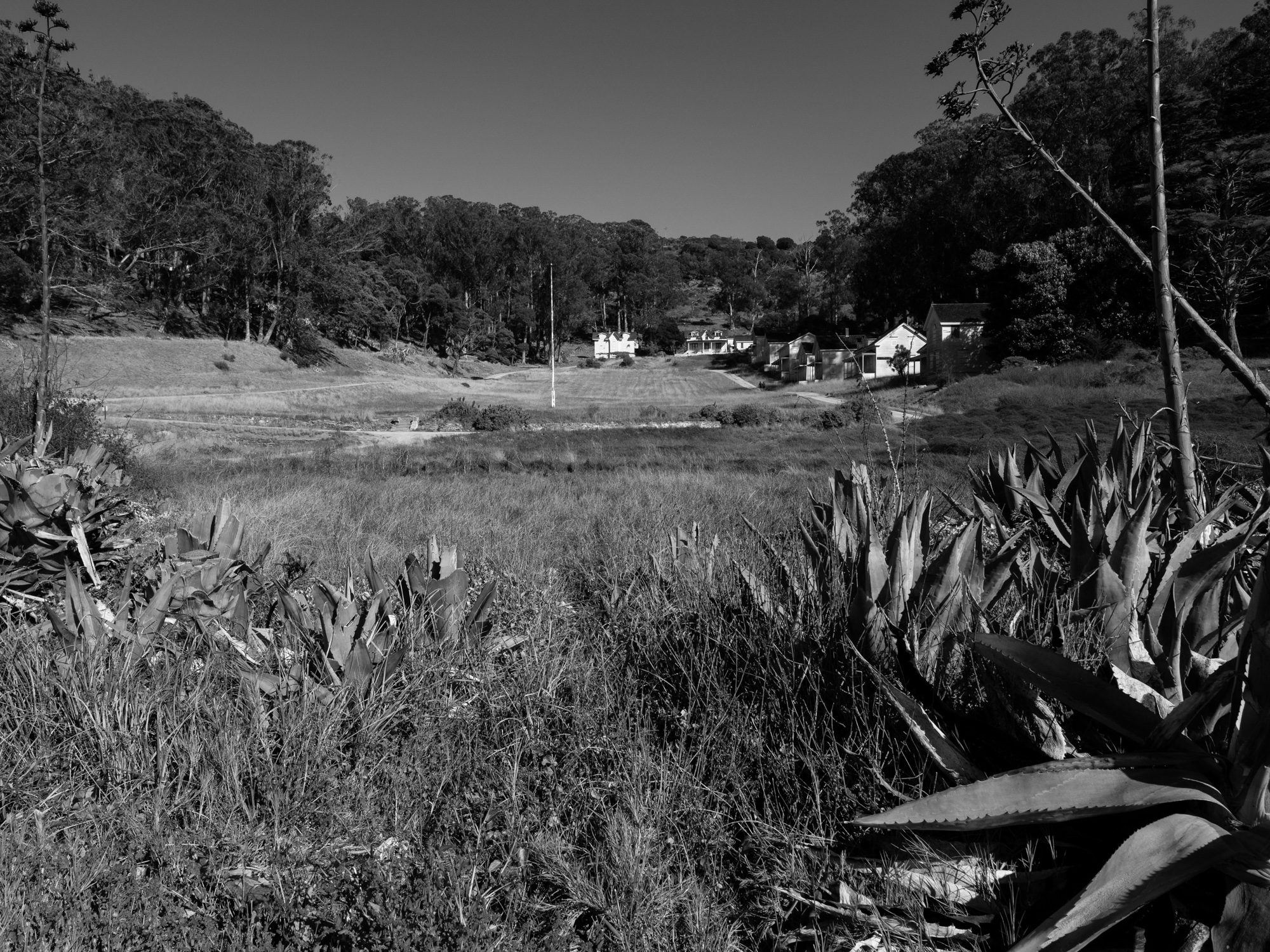
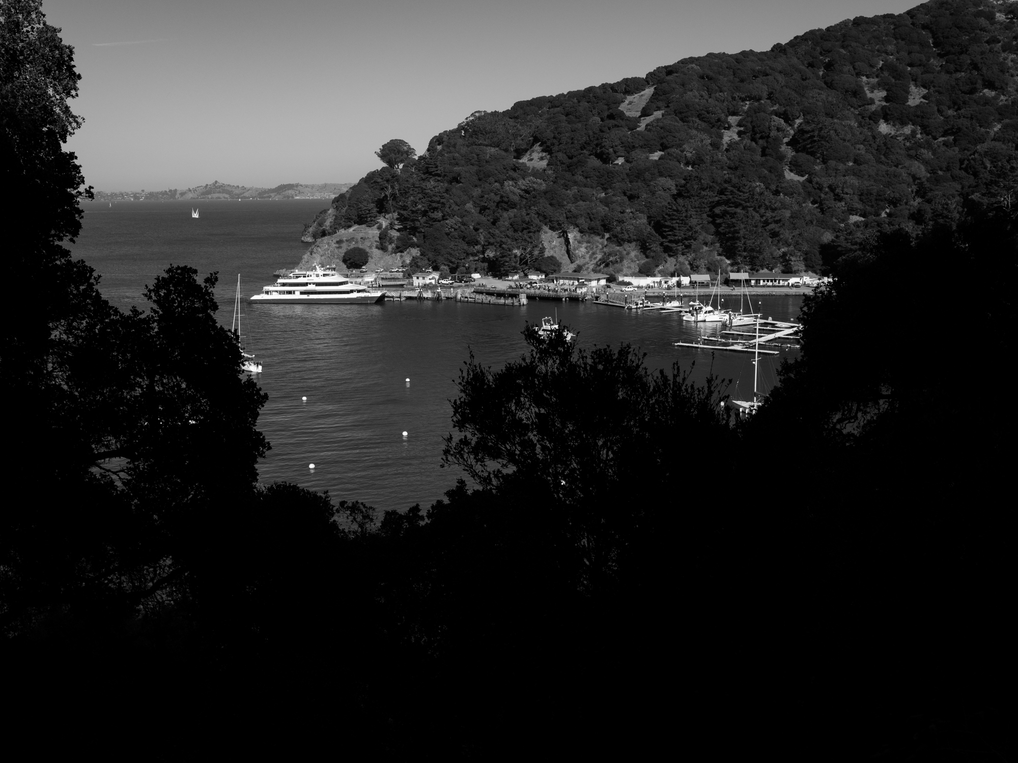
Camp Reynolds was established in 1863 during the Civil War. Its surviving quarters and waterfront setting have a different character from the larger buildings at Fort McDowell. Looking down through the trees toward the cottages and cove, I was drawn to the relationship between the buildings, the hillside, and the water. It is another part of the island where the history becomes easier to imagine simply by slowing down and paying attention to the place.
Views Around the Island
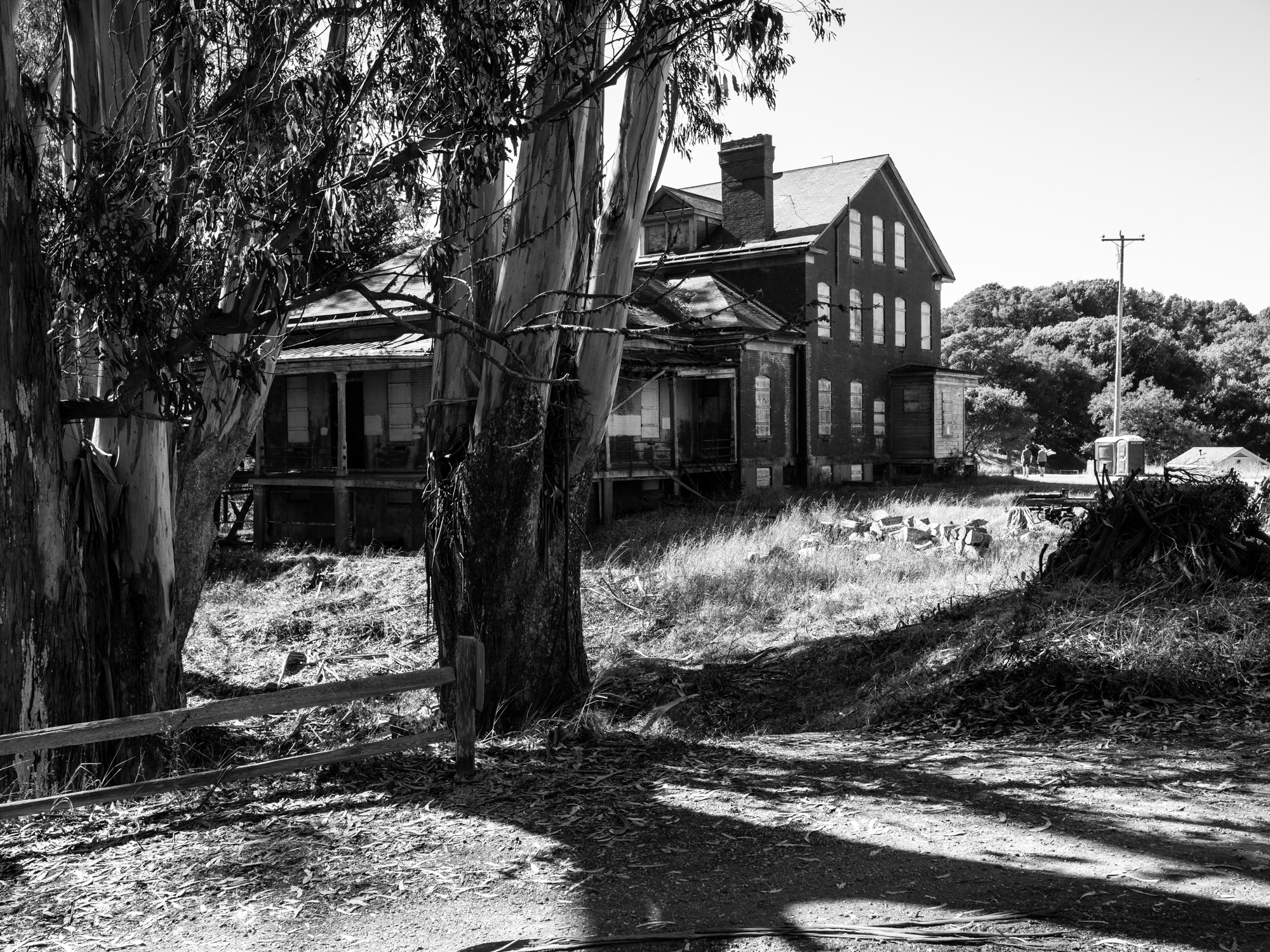
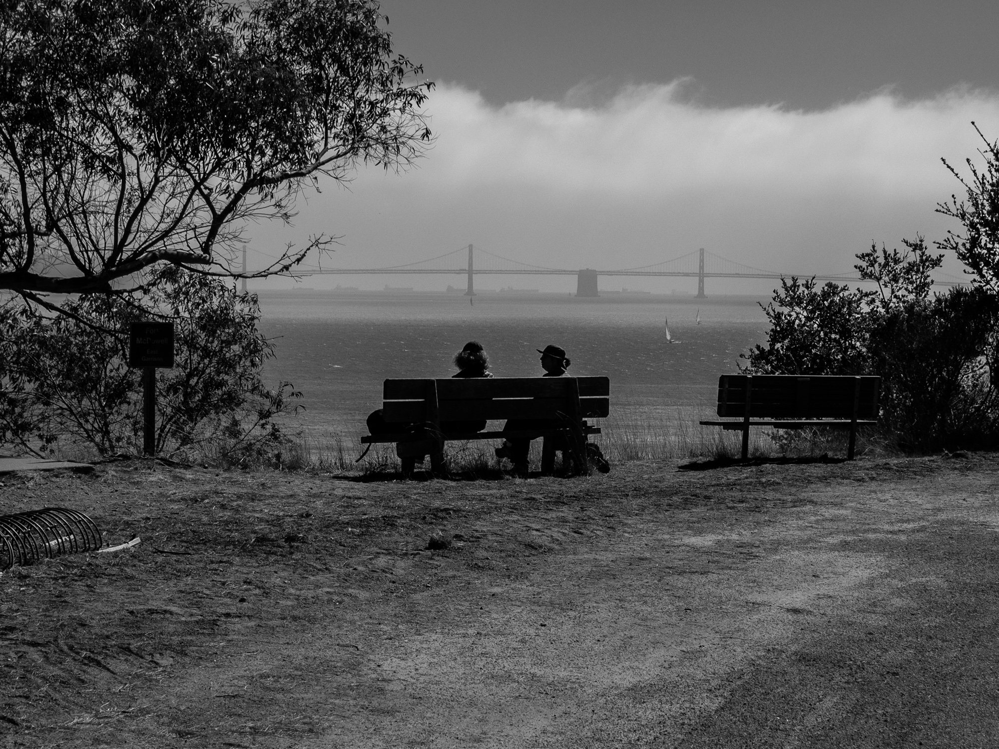
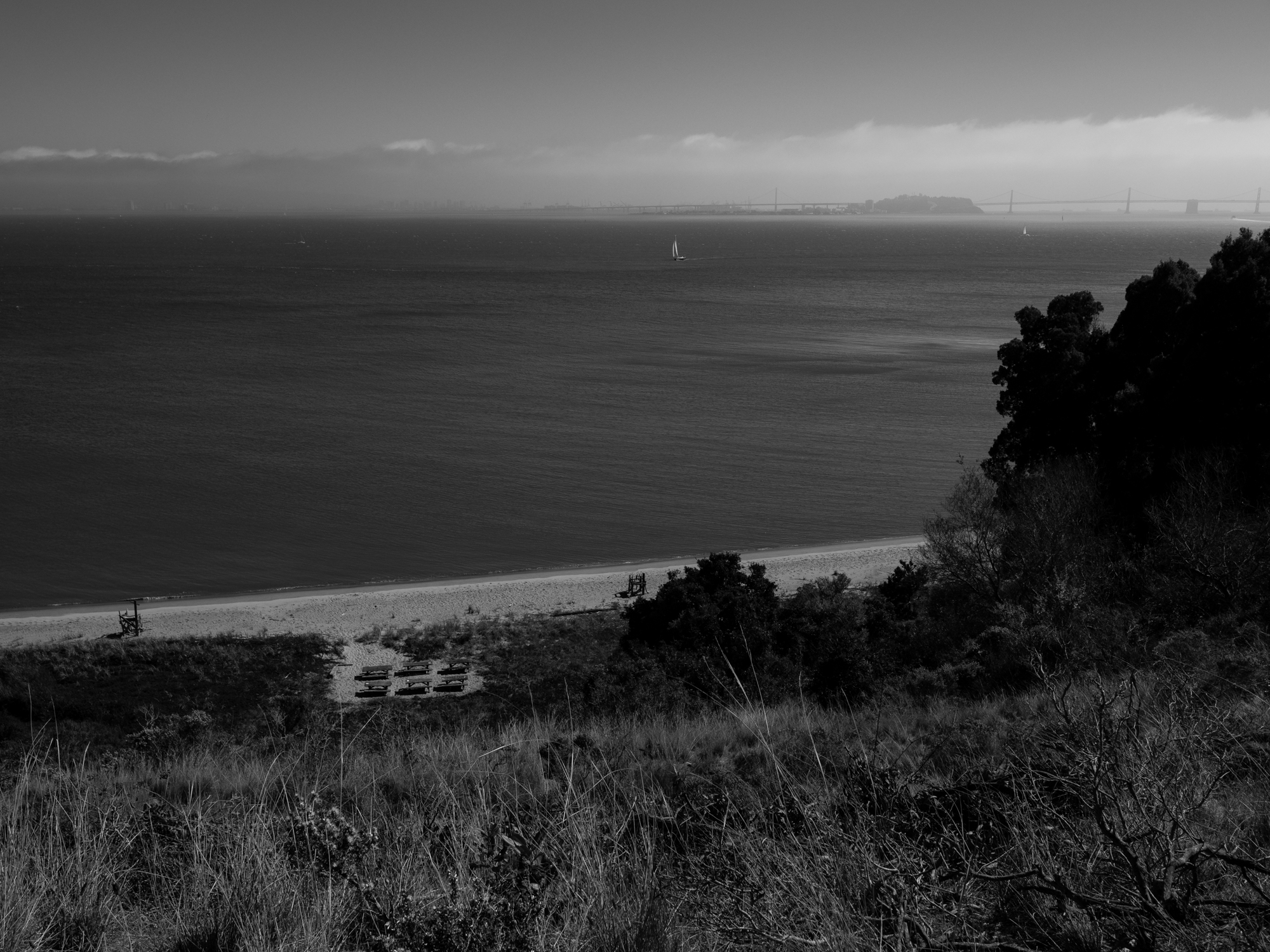
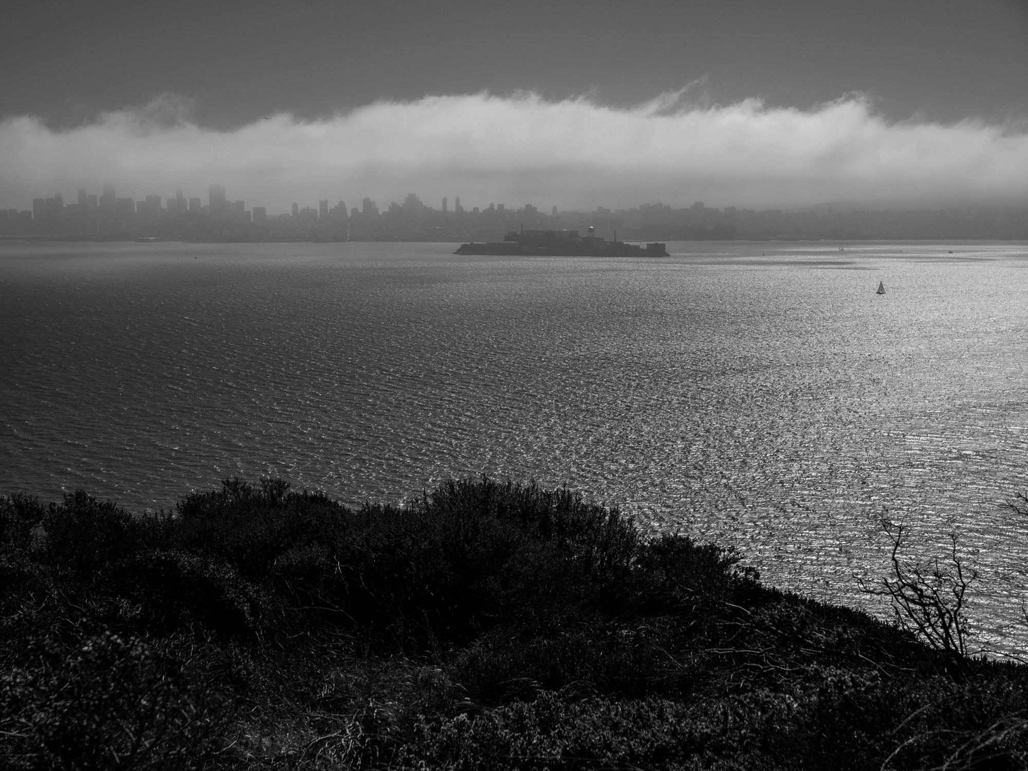
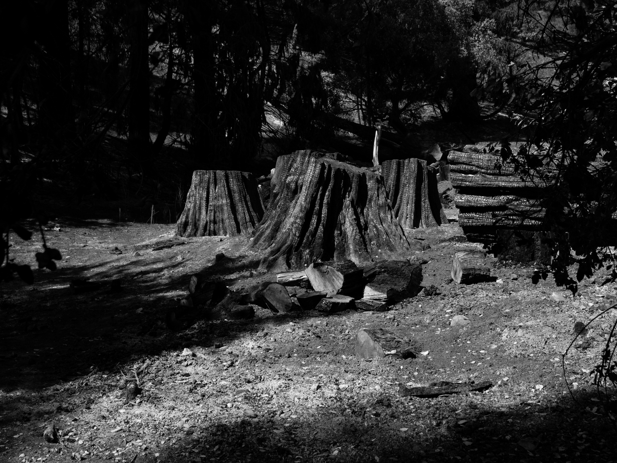
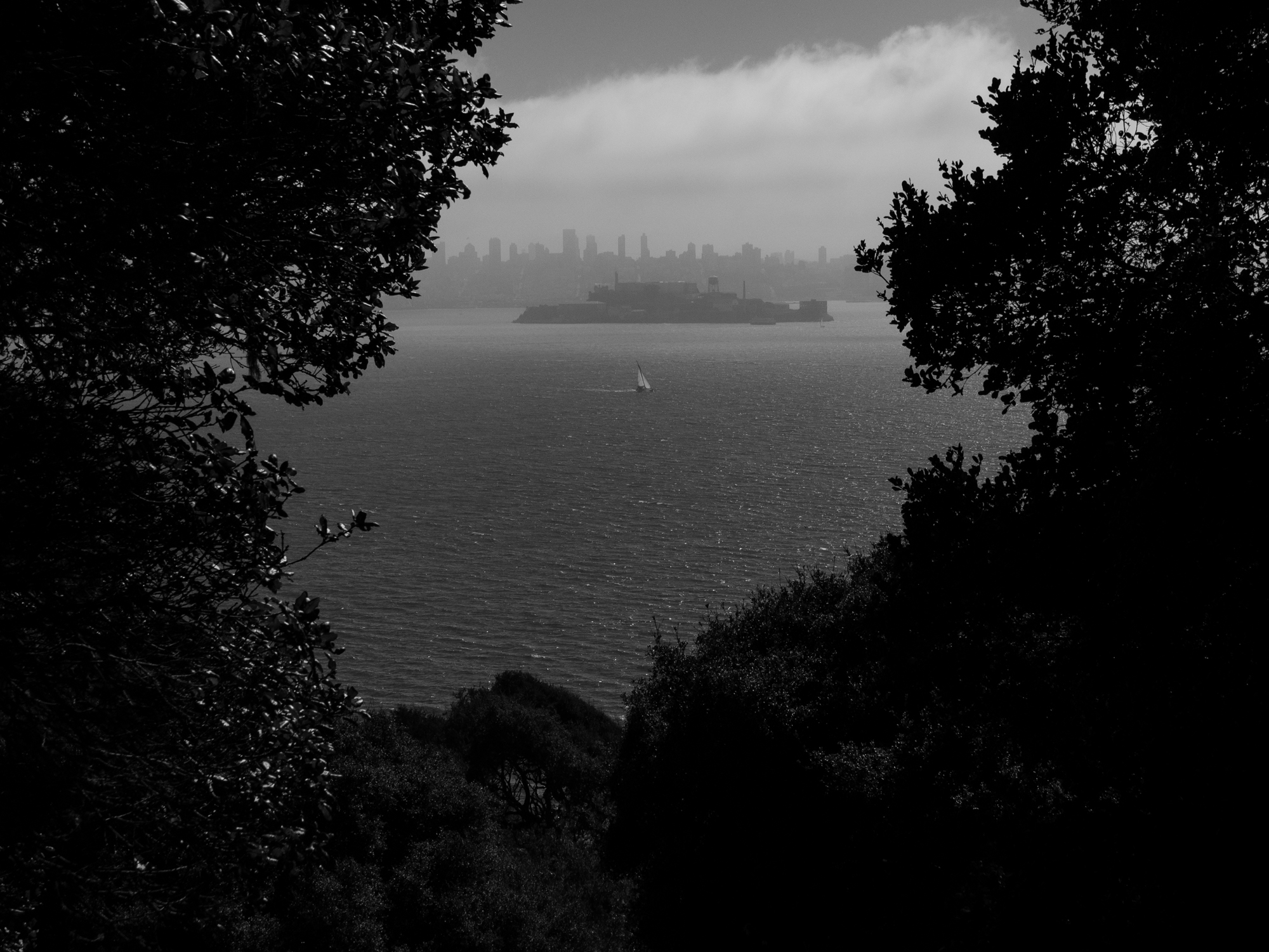
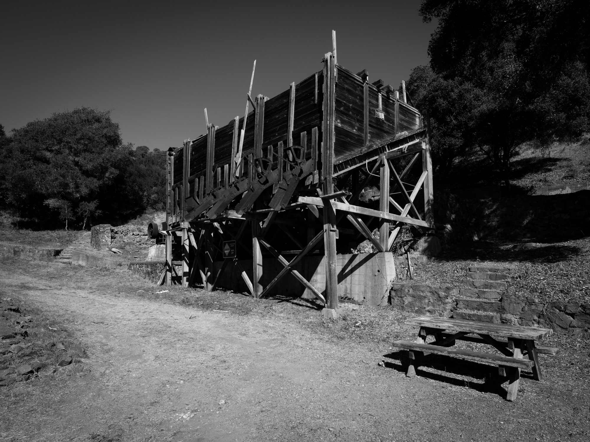
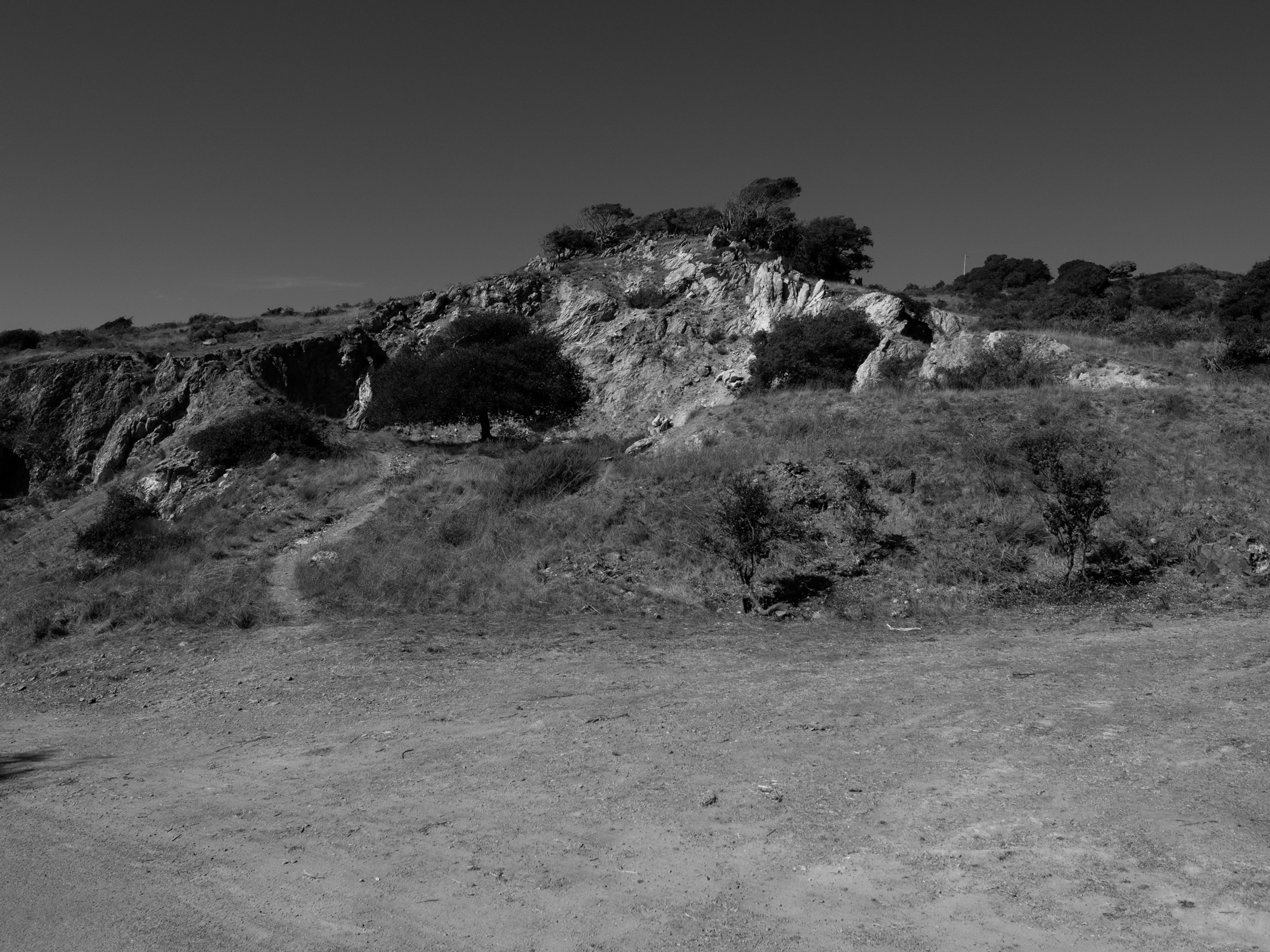
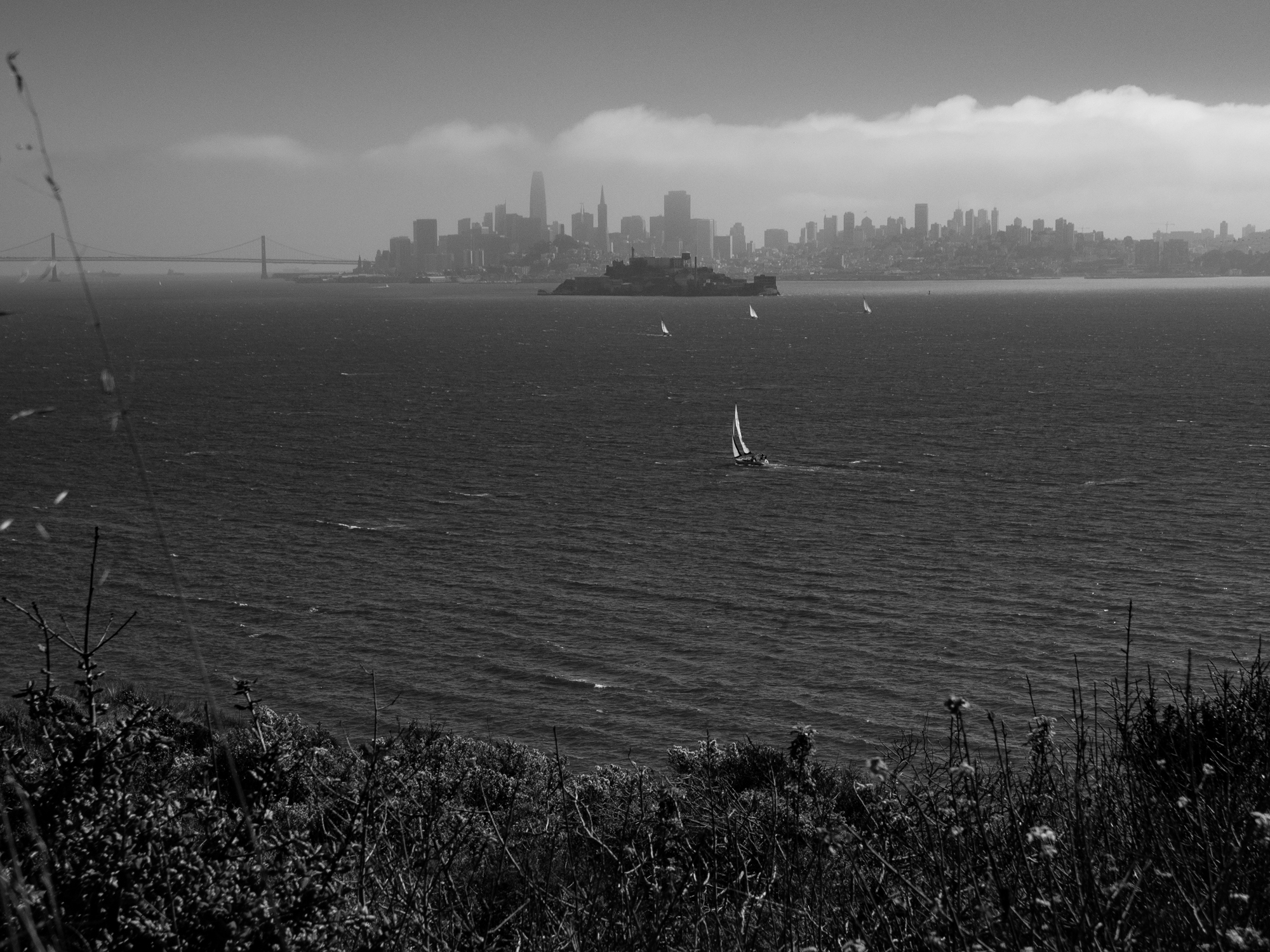
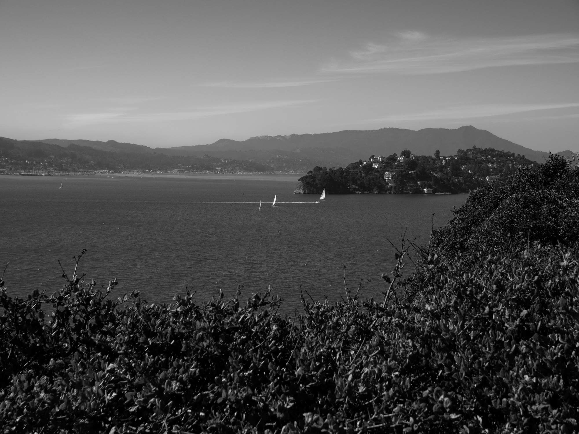
One of the pleasures of the walk was how often the landscape changed: wooded stretches gave way to open slopes, and the fog changed the distance and clarity of the views toward San Francisco, Alcatraz, and the Golden Gate. The photographs between the historic sites became as much a part of the day as the sites themselves. I left thinking about returning to camp, with more time to explore and a chance to photograph the island in the early morning light.
Back in San Francisco, the day ended at Red’s Java House. What stayed with me was the variety of the walk: the ferry, the changing shoreline, the history, and those quiet interiors where a patch of light could hold my attention as much as a view across the bay.
Historical references: California State Parks: U.S. Army on the Island; Immigration Station; Angel Island State Park.